I have been wanting to go to Hokkaido for long time but coudlnt make it for one reason or another. Finally it looked like I could take some days off plus weather would be stable around first and second week of August so I decided to go. Since the decision was made quite late I didnt had the time to check if others could join and hence it became a solo ride. I was deliberating if camping would be a good idea given I was going alone but given Hokkaido is huge and I was pretty much out of touch with riding, I was not certain how much I could ride per day so stuck with camping in the end.
The weather gods showed again that they keep an eye on my plans ![]() I was about to leave at 1:00 AM on 5th August and it literally started raining just around that time! Anyway I put on the rain gear and made a shaky start. The weather gods did me all sorts of favor after the initial downpour though, weather was perfect in Hokkaido)
I was about to leave at 1:00 AM on 5th August and it literally started raining just around that time! Anyway I put on the rain gear and made a shaky start. The weather gods did me all sorts of favor after the initial downpour though, weather was perfect in Hokkaido)
Day 1 – Tokyo-Aomori-Hakodate-Lake Toya ko
Distance – 980 kms
I started from Tokyo at 1:00 AM in the morning to catch 10 AM Ferry from Aomori to Hakodate. Distance from my home to Aomori is about 750 kms so there was enough time to reach the Ferry. Tsugaru Hanto Ferry takes about 3:00 hr 40 minutes to reach Hakodate from Aomori. I reached there around 8:30 AM.
The FZ at Aomori port
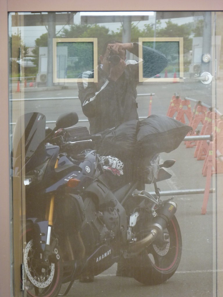
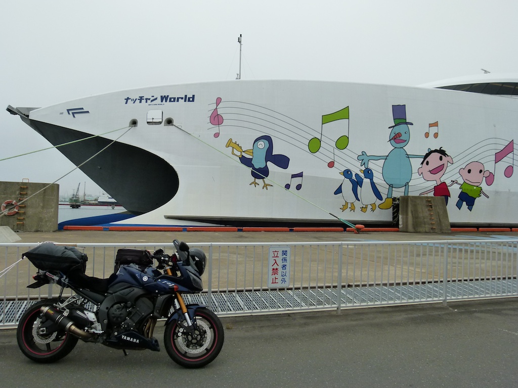
While queuing up I hooked up with a few ‘easy riders’ from Osaka on a few months ride to Northern Japan. We shared some riding stories.
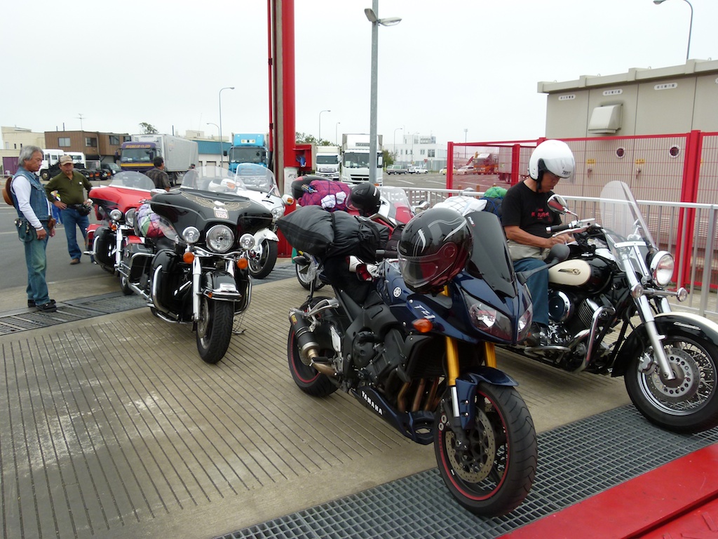
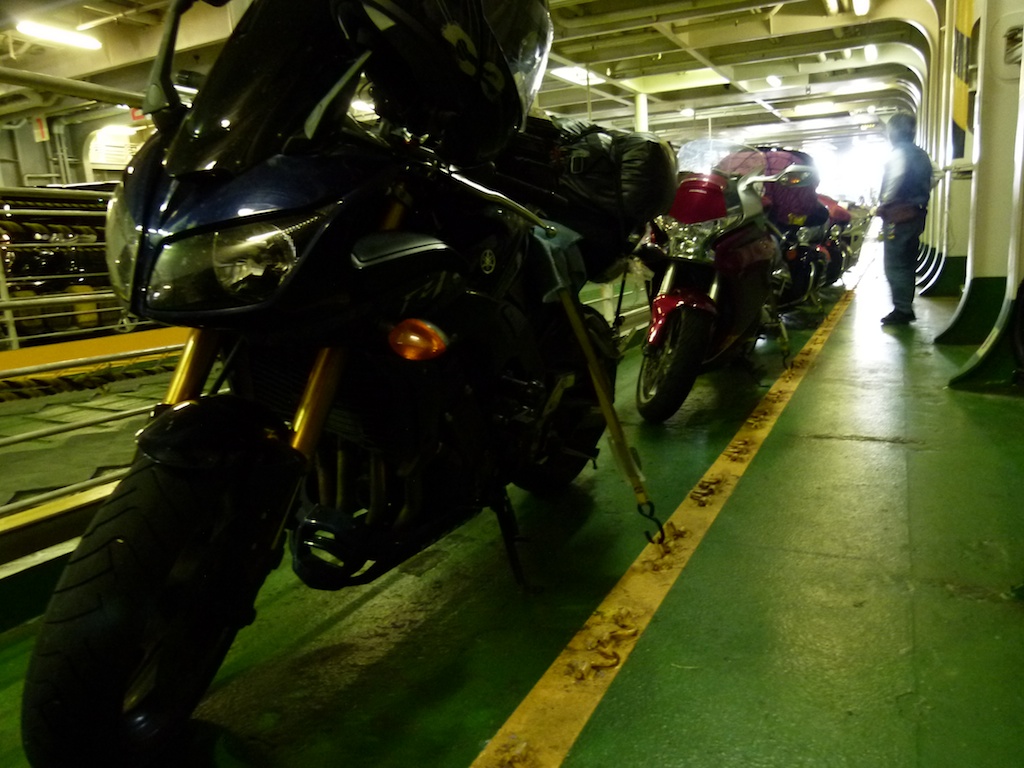
FZ tied up and the Ferry left at 10:00 AM sharp
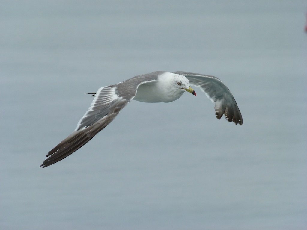
The gulls are probably the easiest bird to shoot inflight ![]()
We arrived at Hakodate in time. In Hakodate weather was perfect to ride!
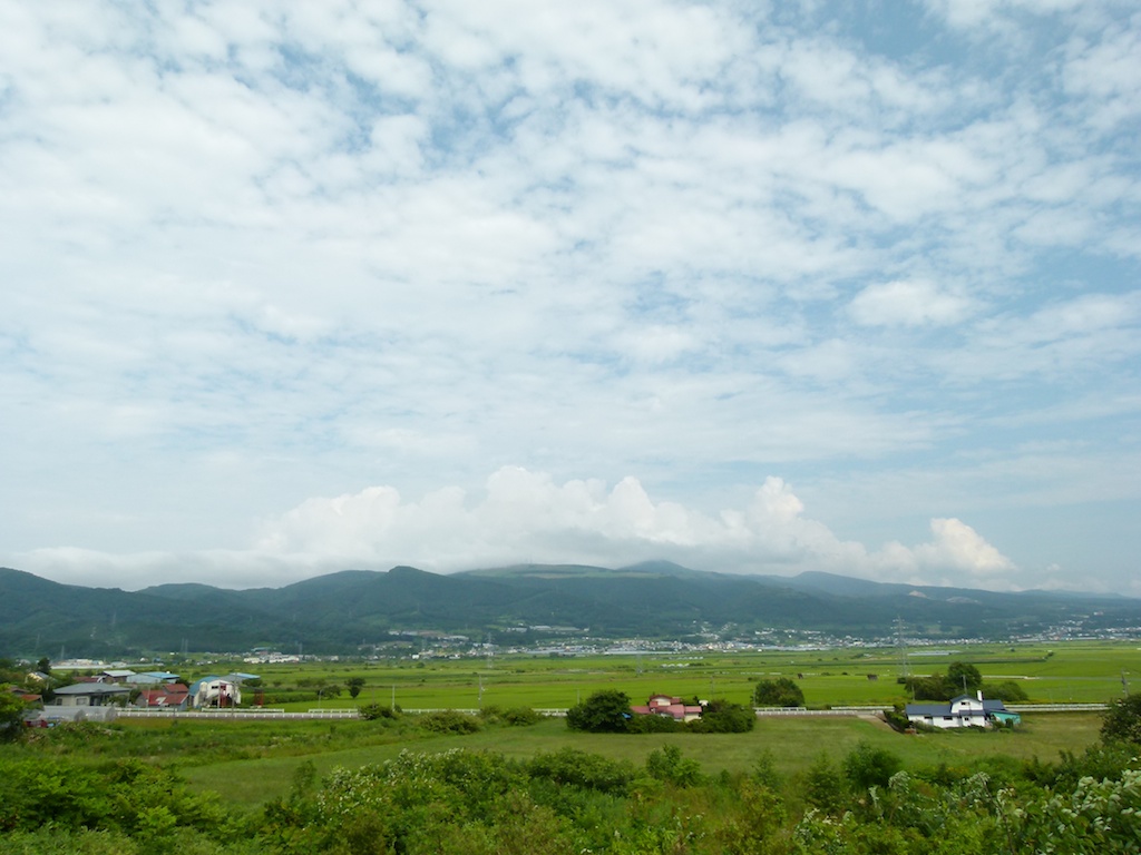
My first day’s plan was to camp at Green Stay Toya Ko campground. I decided to stick to the recommended routes from Mapple plus make a quick stop near Lake Konuma before heading to Toya ko.
Lake Onuma with Mount Komagatake in the background
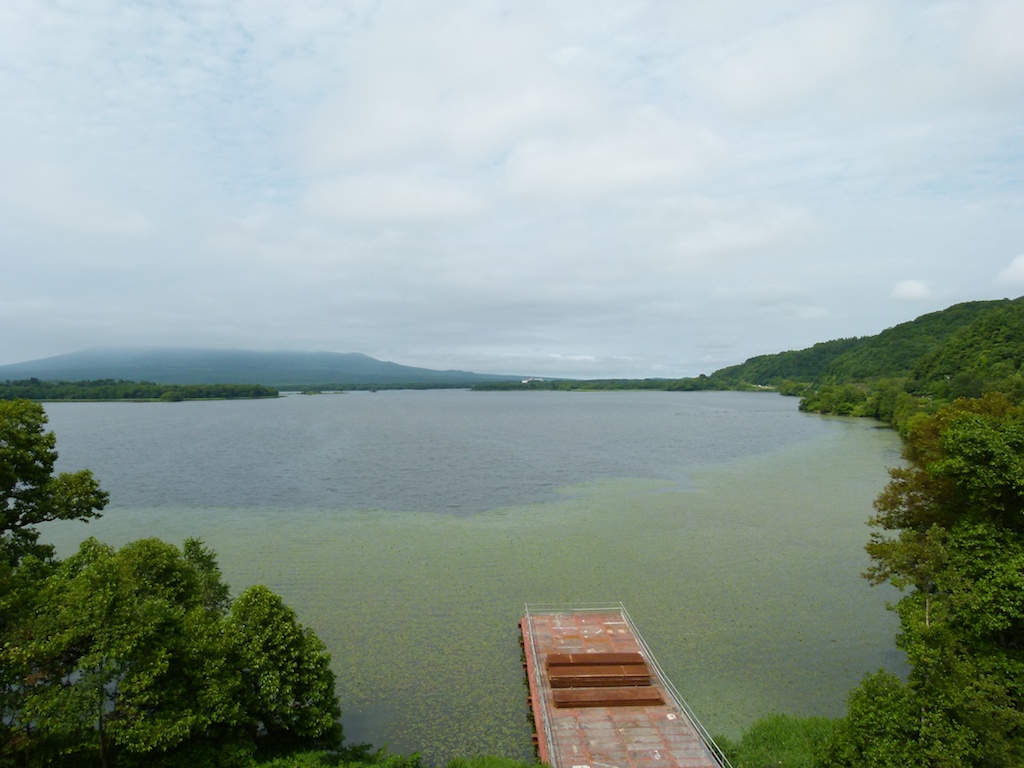
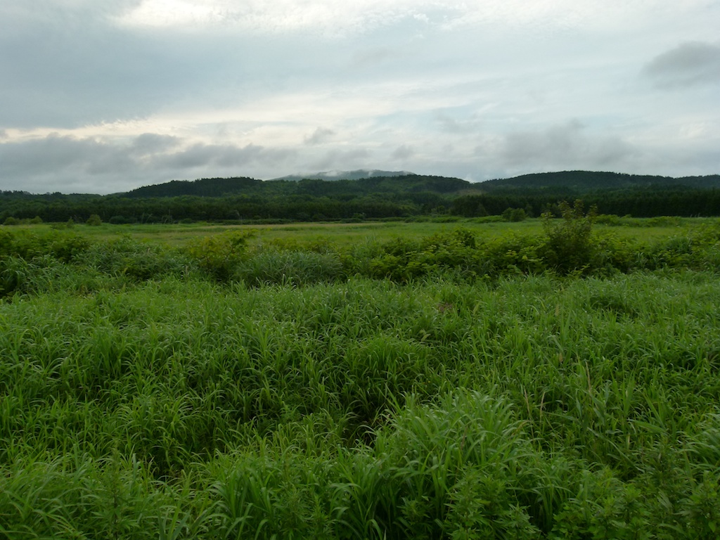
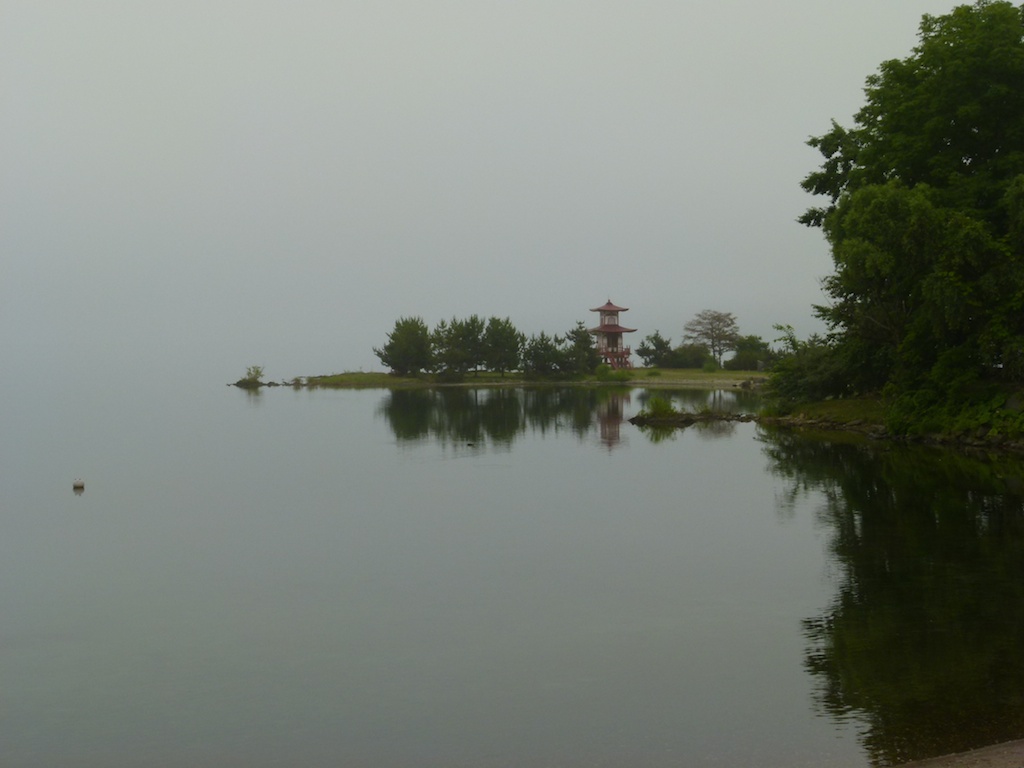
Lake Toya Ko
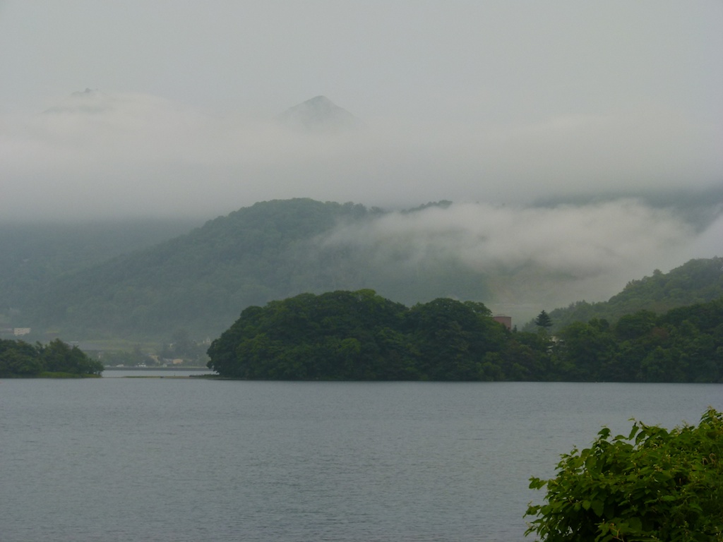
After setting up the tent and I took a walk around the Lake.
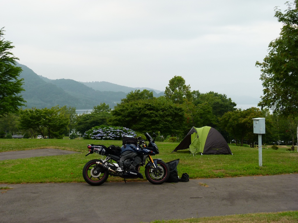
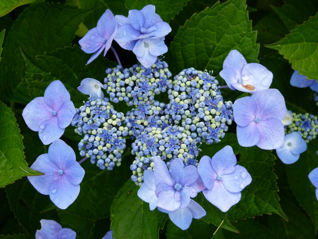
The Ajisai flowers were blooming in the campground and alomost seemed to glow in the dark
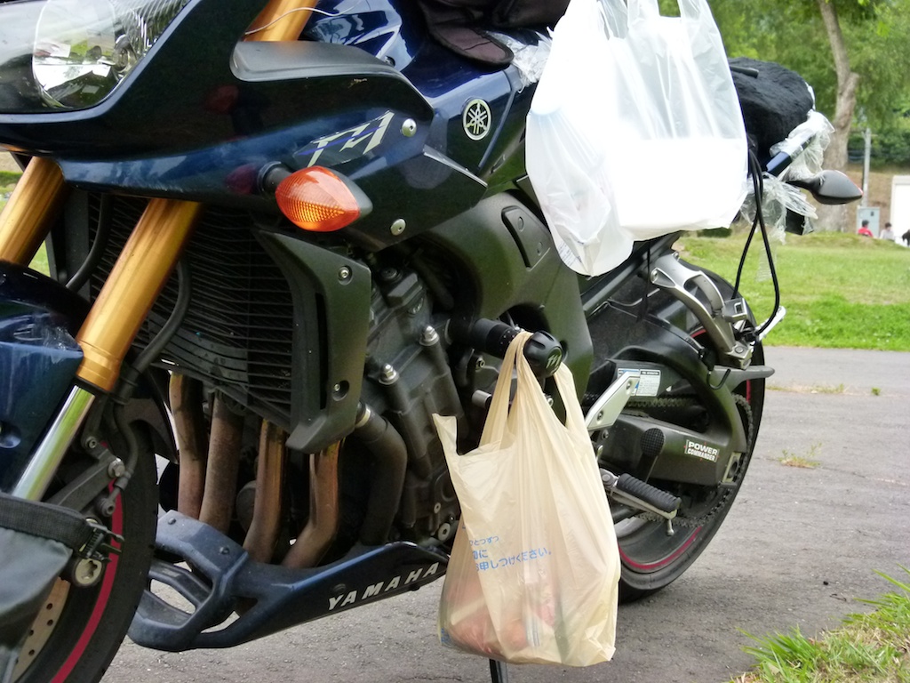
Though camping i decided not to cook my food and purchased during the whole trip. I hanged the food close to the engine & it was nicely warmed up by the time I came back from the walk ![]() 1000cc engine can do more than just drive two wheels
1000cc engine can do more than just drive two wheels ![]()
Day 2 – Toya Ko – Cape Kumai-Cape Noshyappu – Lake Onuma Camp ground
Distance – 550 kms
My plan for day 2 was to reach Cape Soya using mapple recommended routes. This would mean I had to do some boring stretches in the middle mostly along the coast but I didnt wanted to miss anything. I packed up the tent early in the morning and started riding towards Cape Kumai around 6:00 AM.
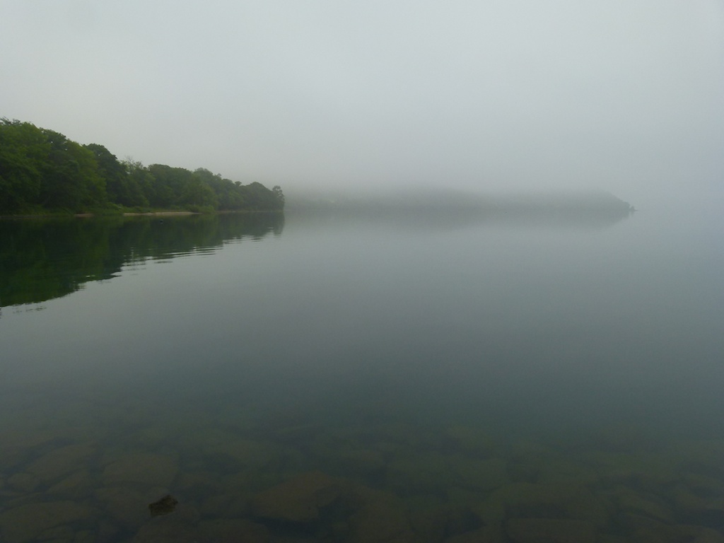
Lake Toya Ko in the early morning
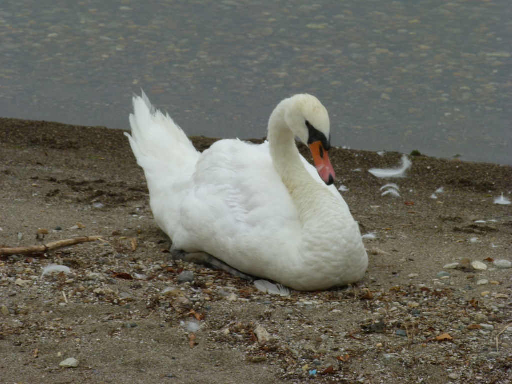
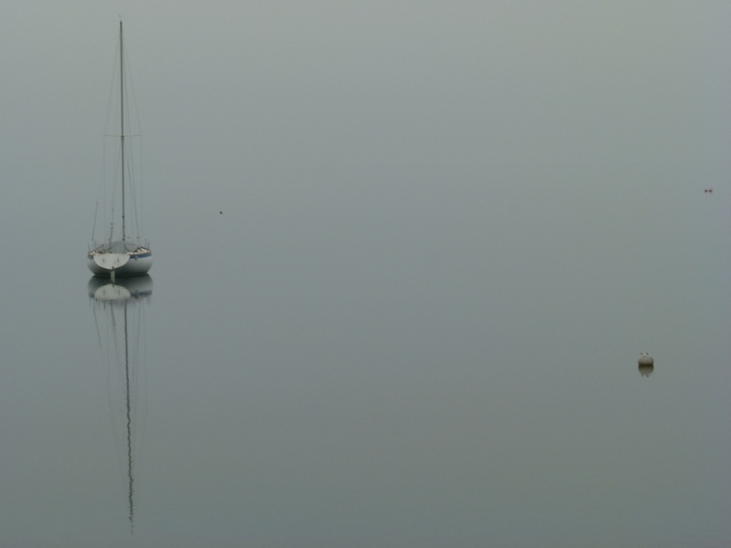
I took some pictures while crusing through the Shikotu Toya National park
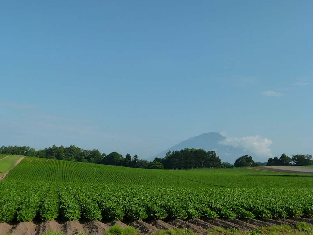
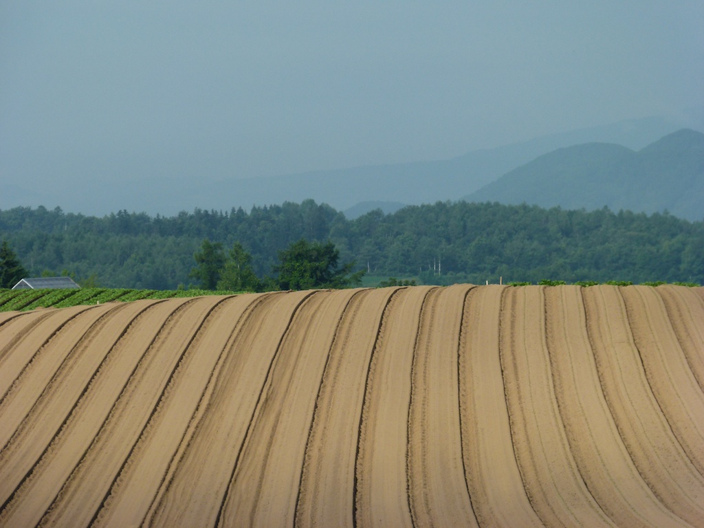
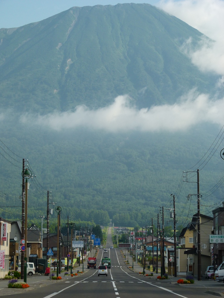
Mount Yotei. Long straight roads really mean ‘LONG STRAIGHT’ roads in Hokkaido!
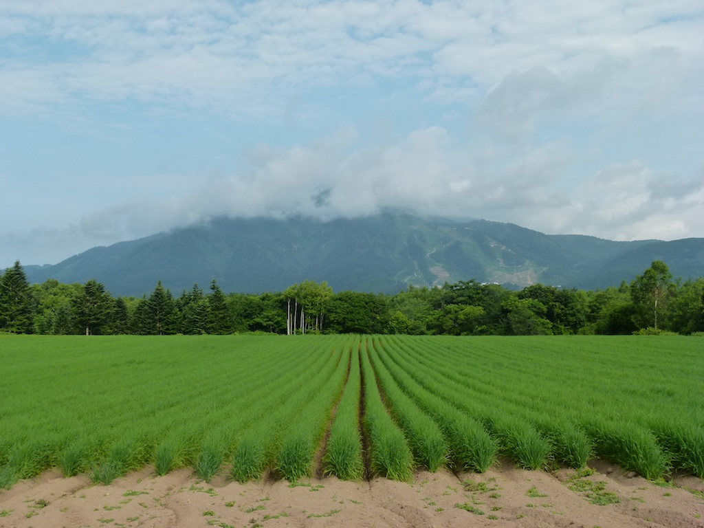
Cape Kumai
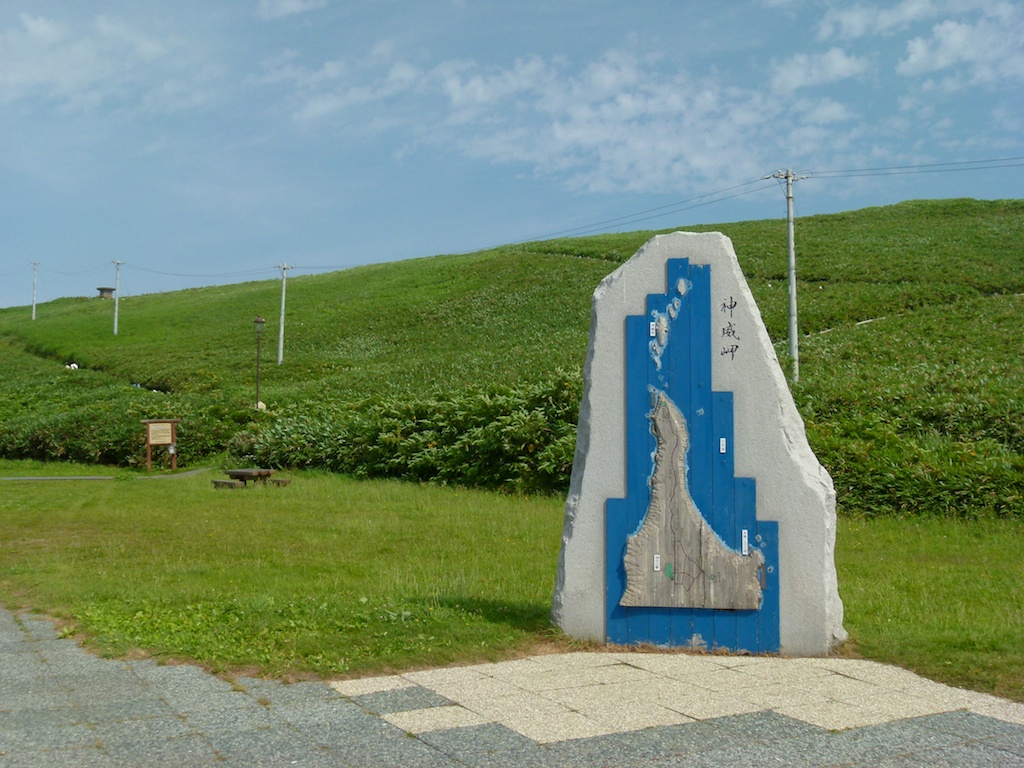
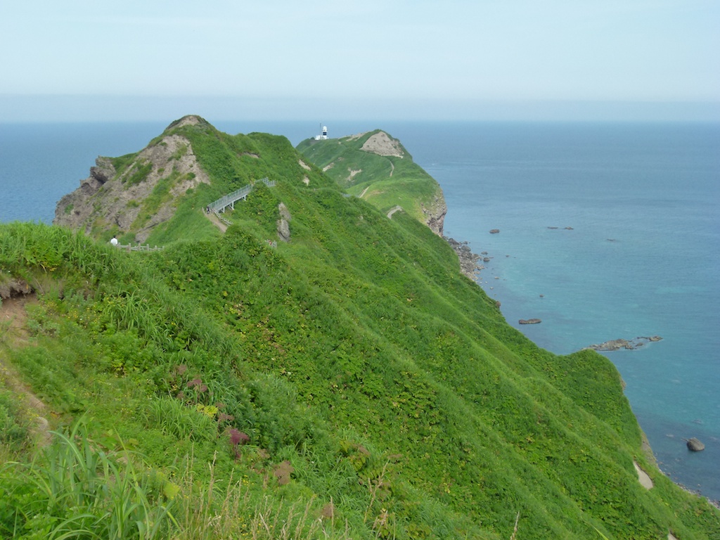
I then continued towards Cape Soya intending to stop at Cape Noshyappu which is famous for beautiful sunset. The good scenary continues
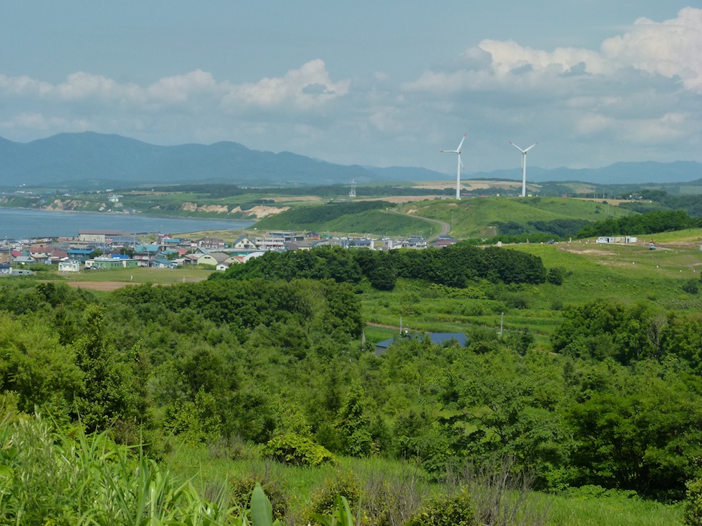
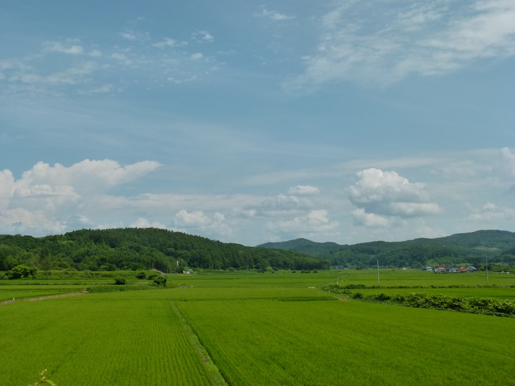
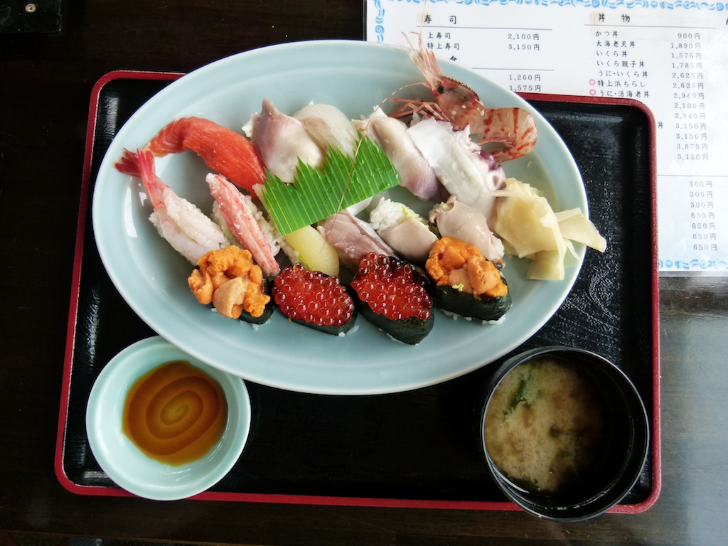
I found a place serving sushi in the middle of nowhere. A bit pricy for lunch at 3150 yen but it was well worth it.
They expect you to run 50 kms per hour on these roads….. If you have ever rode a bike at constant speed – man your wrist really hurts locked in one position. I could appreciate why Harley Riders invented the throttle lock… Nott sure if it all bikes or just the FZ but definetely the FZ is not made for cruising at 50 kmps. Besides the wrist lock issue the FZ stays in 3000-4000 pm range at these speeds (50-70) which is pretty flat even with Squair’s PCIII map.
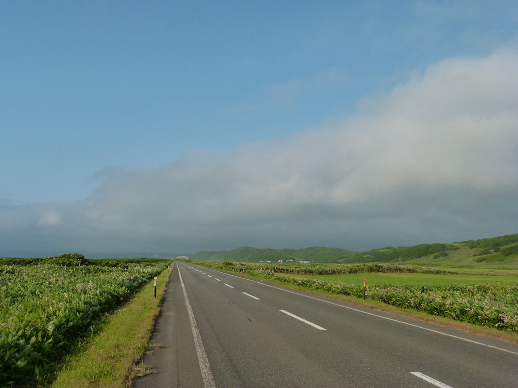
Cape Noshyappu is famous for its beautiful sunset and I was expecting to see the same but it started getting cloudy as soon as got on to coastel route
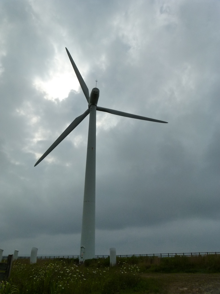
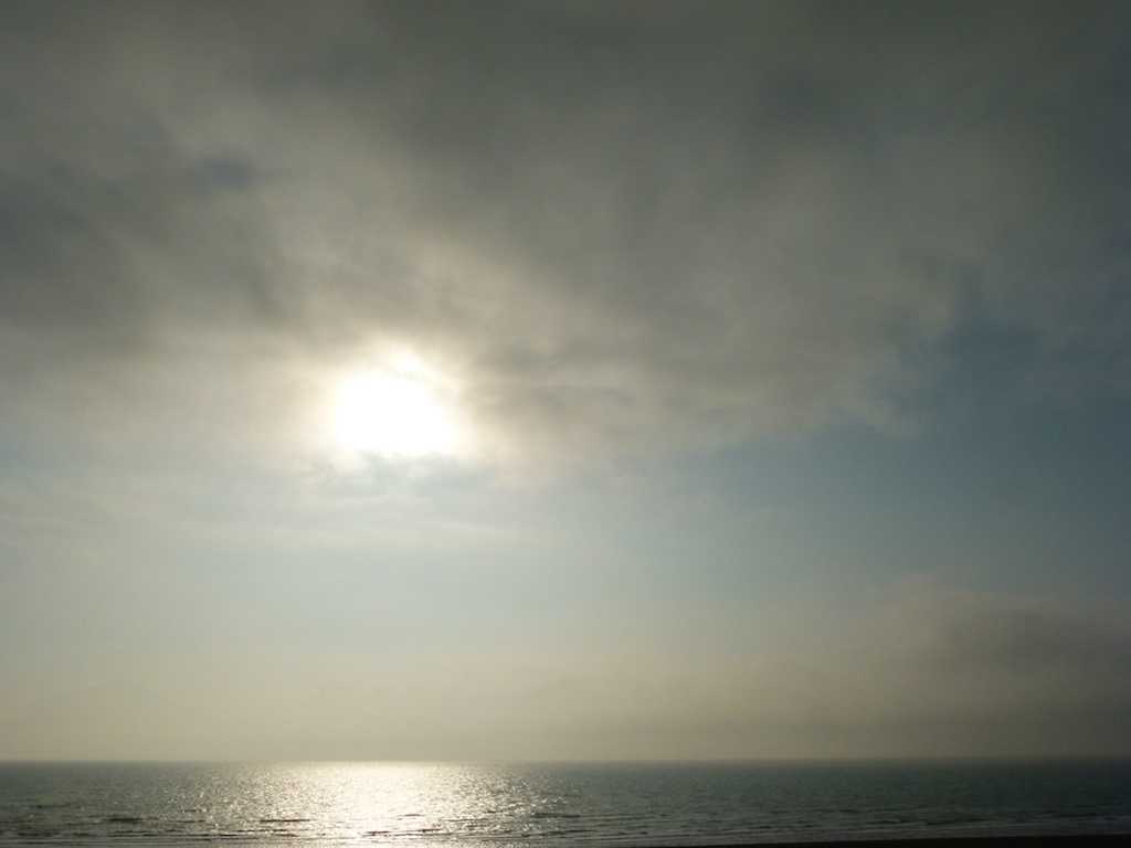
I took a lot of photos and the Sushi lunch costed me atleast 45 minutes. I finally made it to Cape Noshyappu.
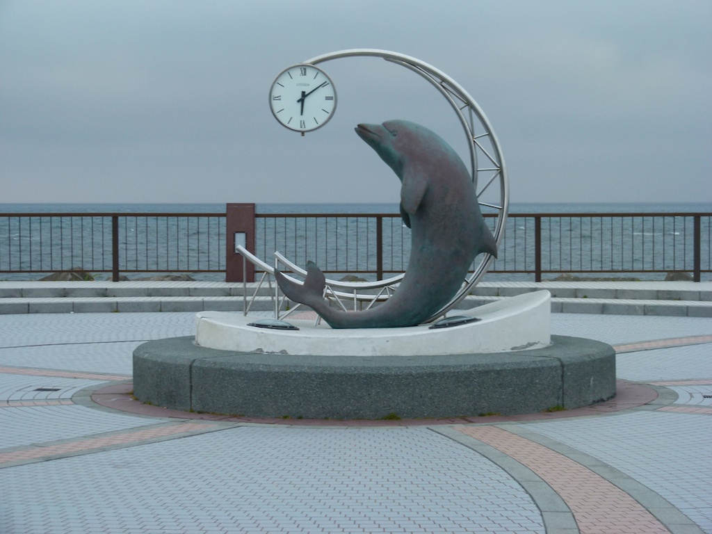
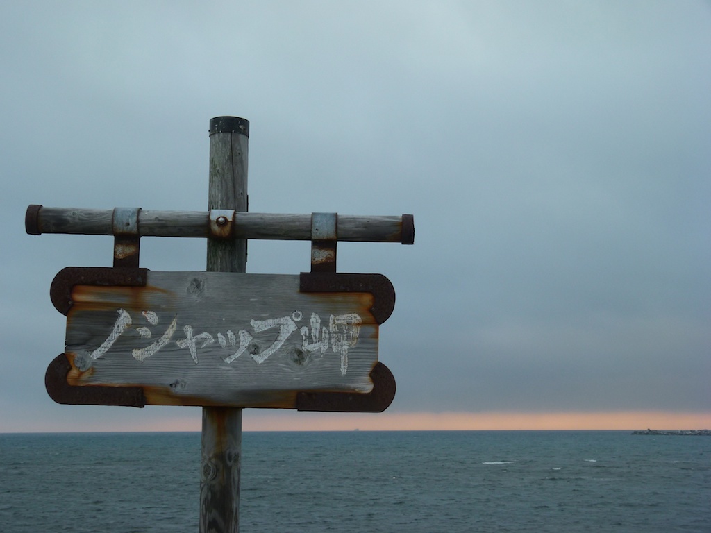
No beautiful sunset today. This is the best I got…
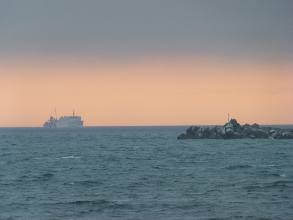
It was getting dark so instead of going to Soya Misaki I headed to Lake Onuma, pitched the tent, had a quick dinner and went to sleeping bag after a movie on my iPad.
Day 3 – Cape Soya-Souonkyo George – Lake Akan Ko – Akan national park
Distance – 550 kms
Today I was determined to ride longer and woke up around 4:00 AM. I could capture the sunrise!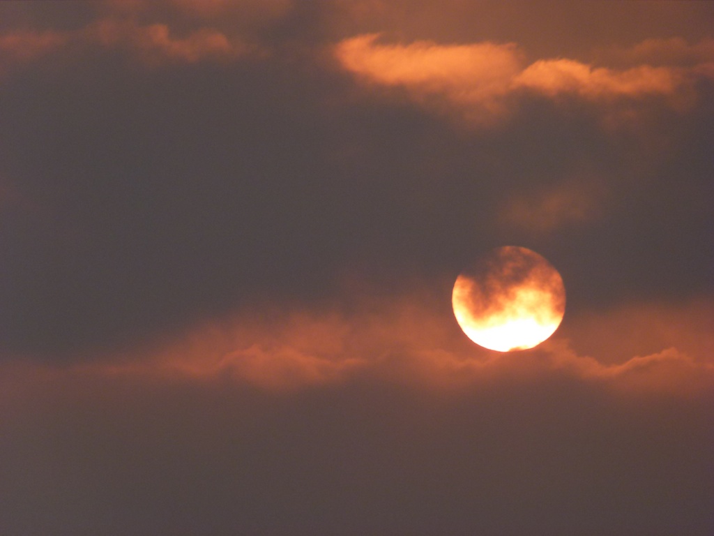
Packed up the tent and started riding. First stop was Cape Soya – the nothern most point of Japan
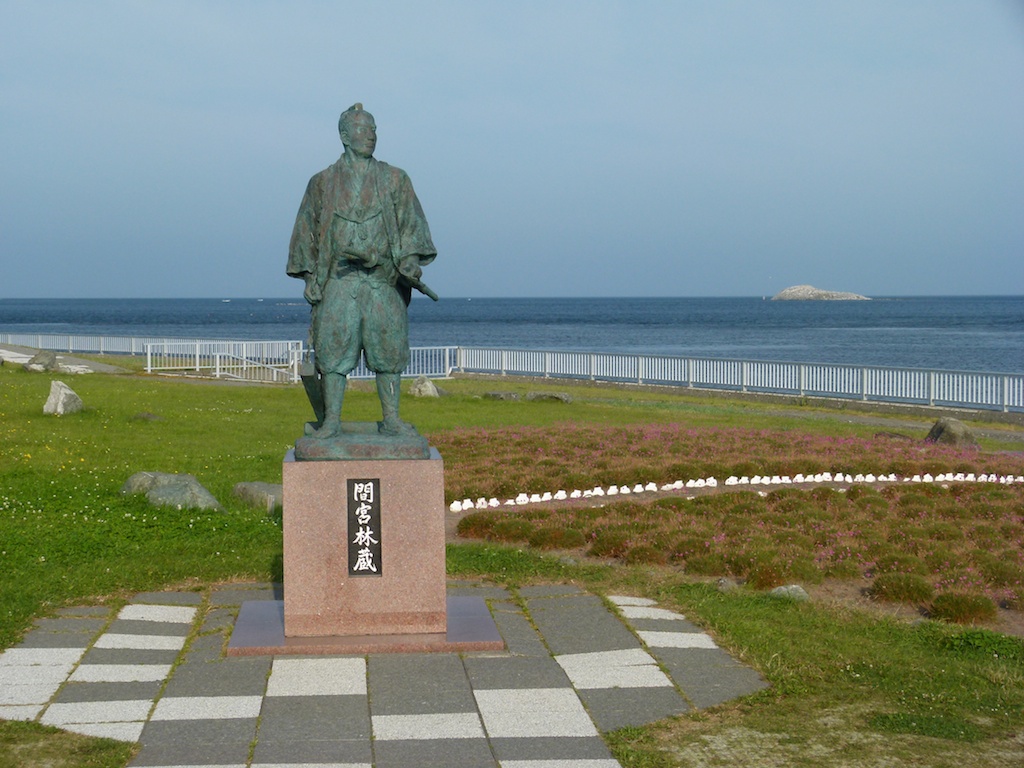
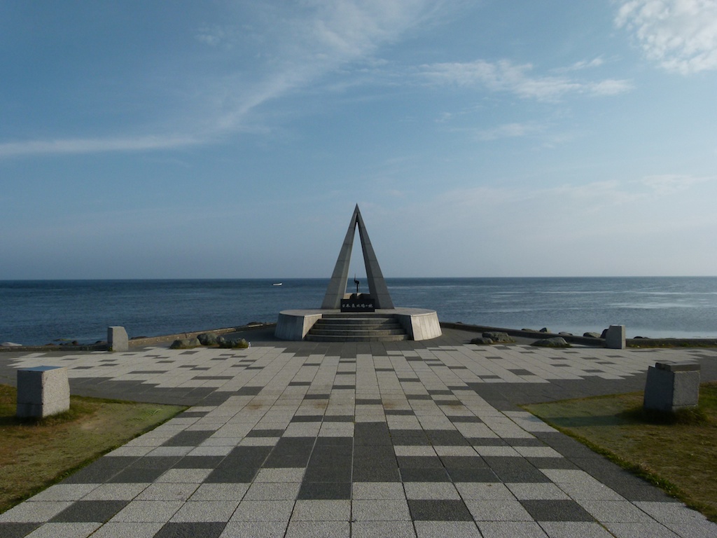
Russia is right up there
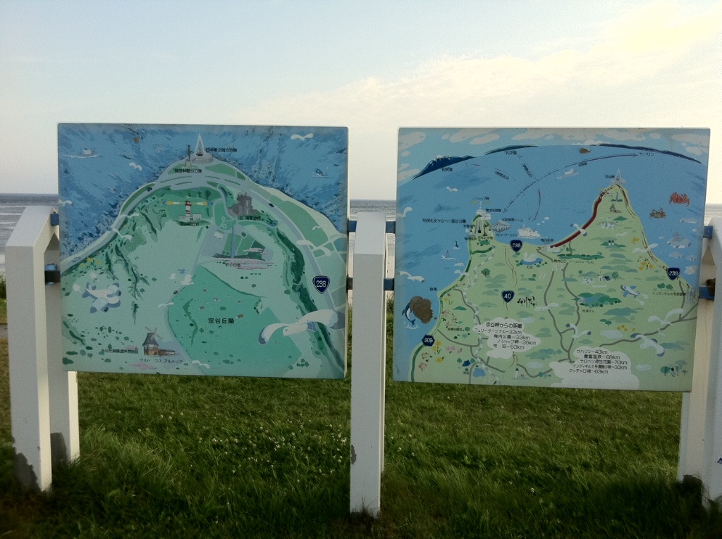
I took a quick breakfast here and checked the weather. Weather report predicted rain but it turned out to be a fine day
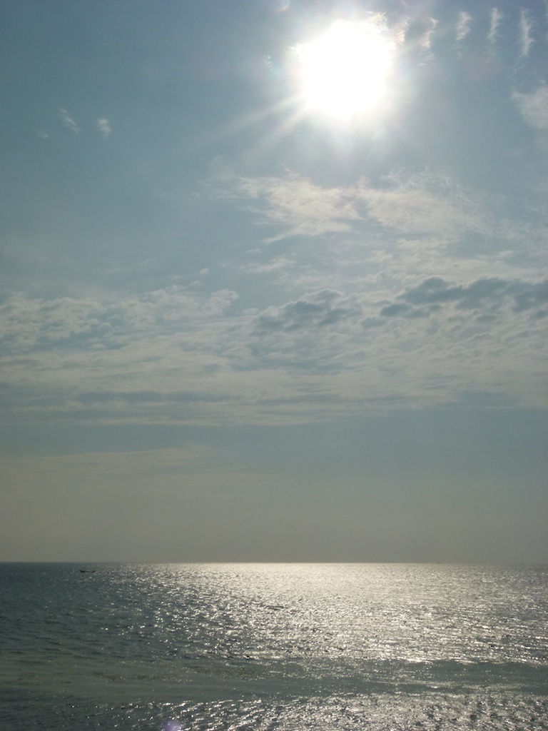
I started riding towards Souonkyo George. This was a surprise in the country side
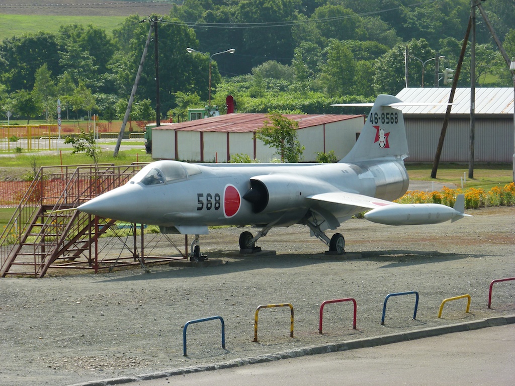
My zumo got confused a few times and took me to some less travelled roads but the scenary was good so I didnt really care about precise navigation or time management
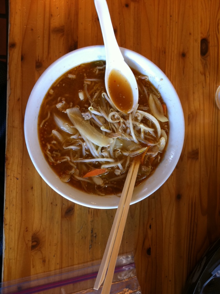
Todays lunch was local ramen at a small shop
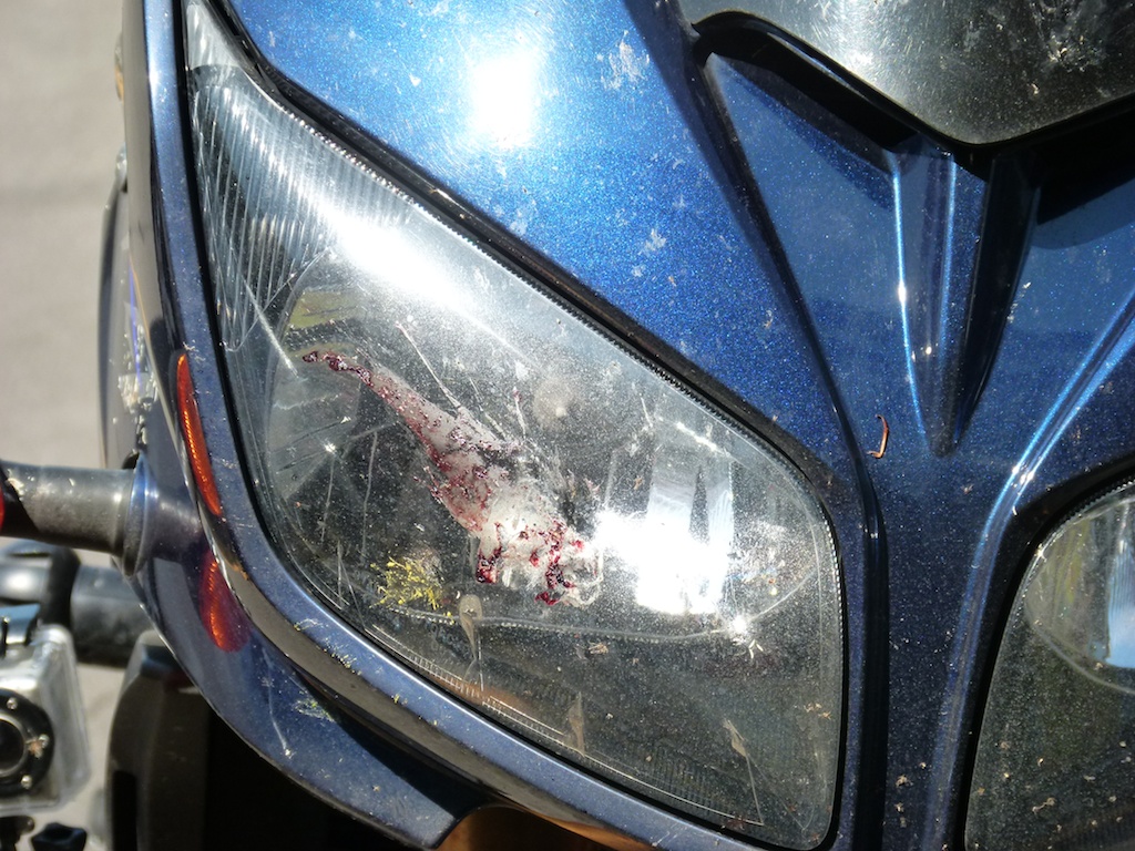
OK, I remember the two snakes and accidentally running over one in all probability but no idea what this was or when this happened. There were too many bugs flying around and I my helmet wind shield required cleaning at every stop but this seemed to be more than what a normal size bug would cause ?
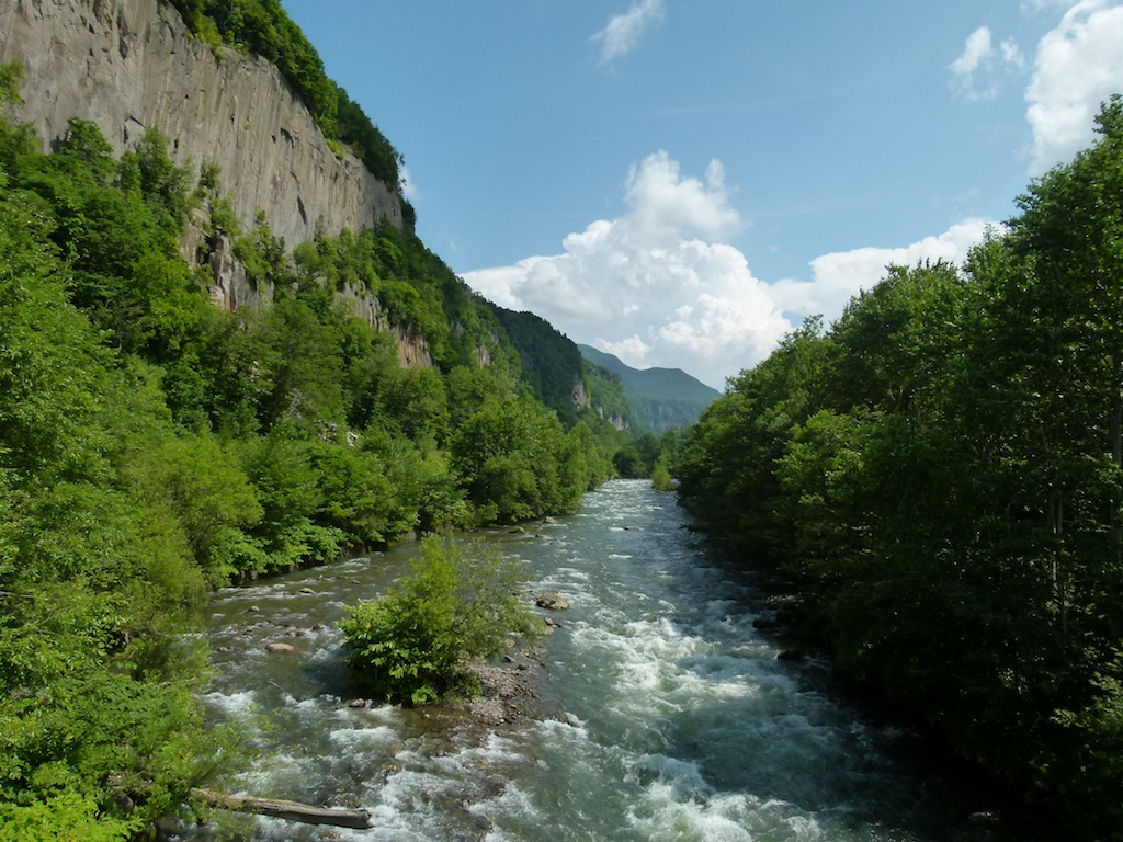
The Souonkyo george
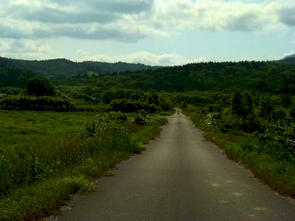
Beautiful weather and countryside continues
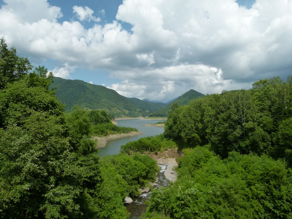
Hokkaido is really vast wilderness. looking from a higher elevation you could appreciate the expanse.
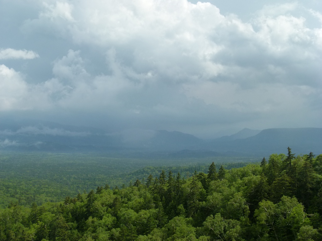
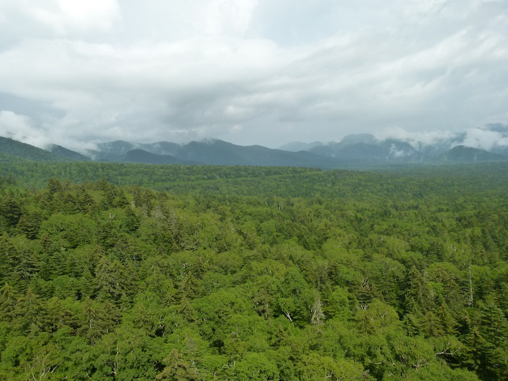
More riding
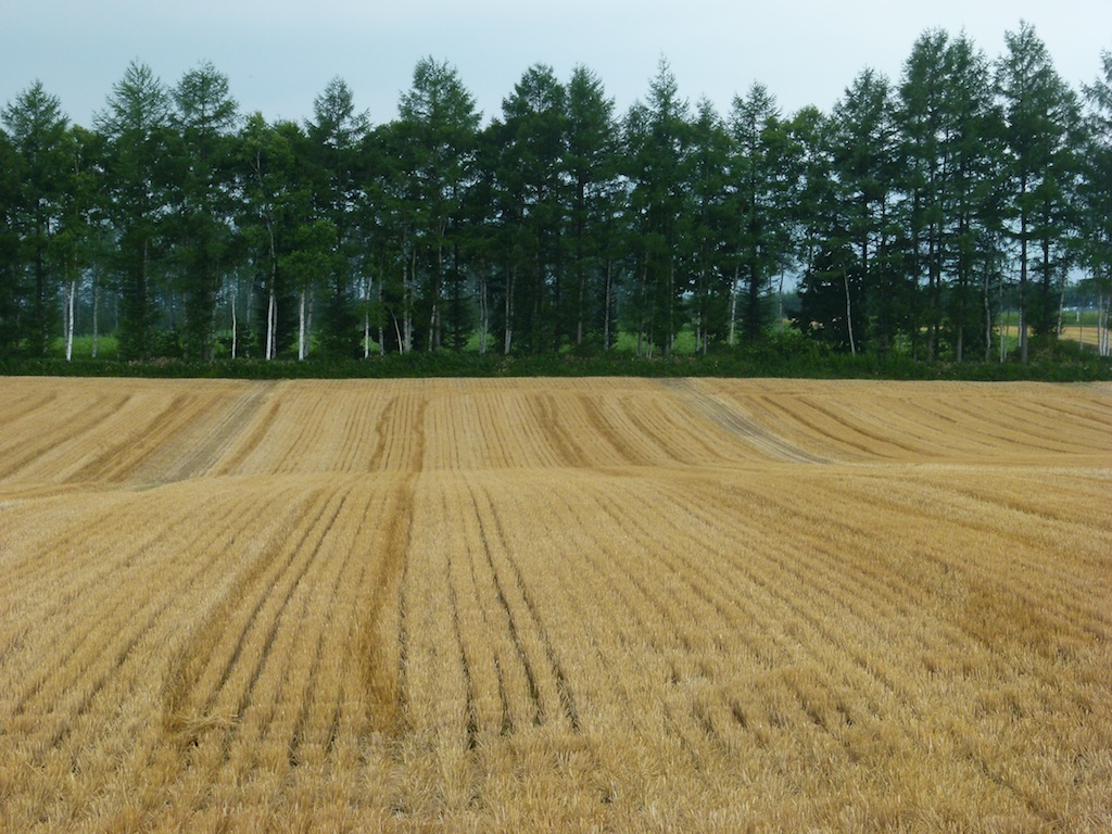
Lake Akan Ko
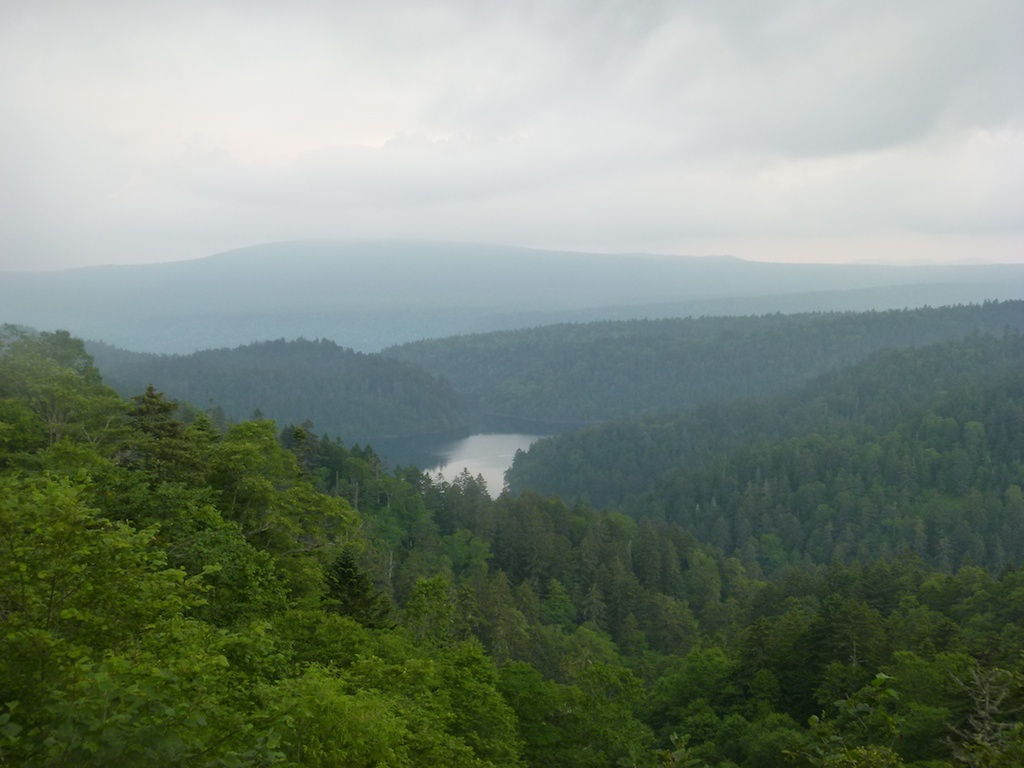
I was quite close to the Kussharo ko and Mashu ko lake but it was getting late so I pitched the tent in Akan national park.
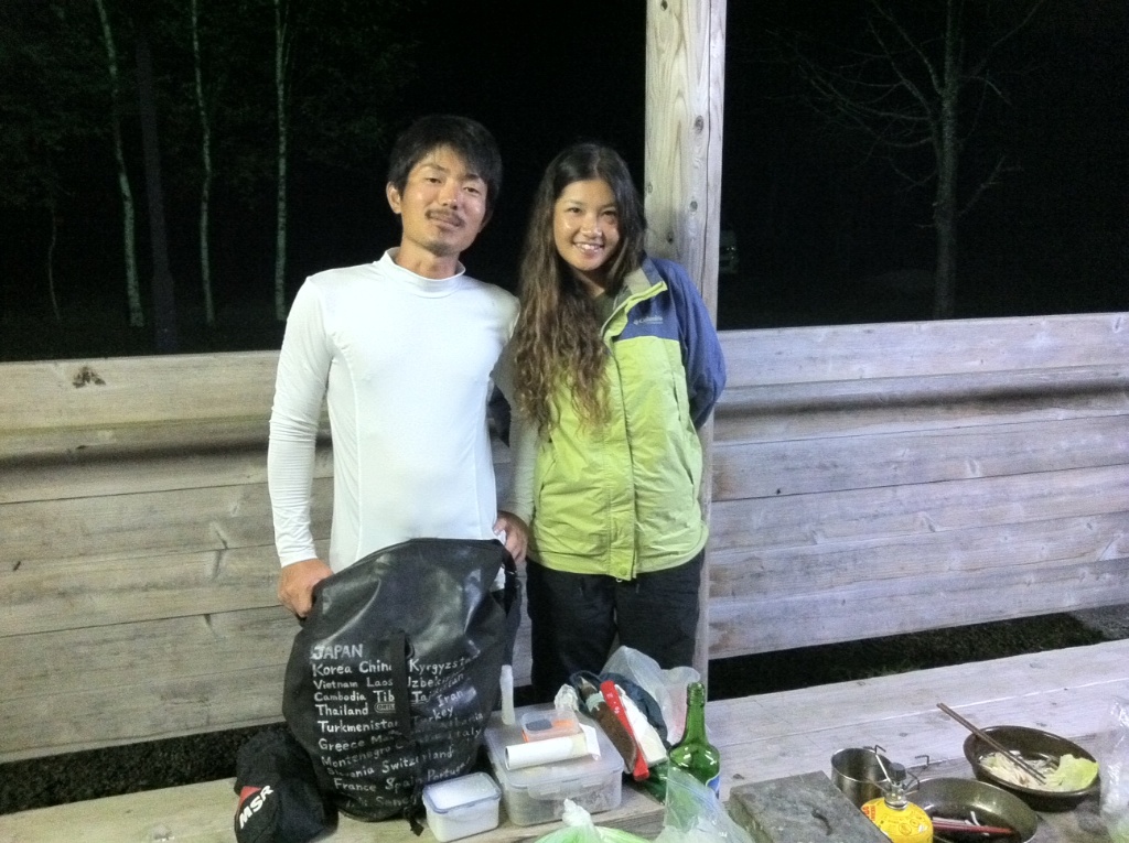
Here I met Kokoro San. This dude has done some 80,000 kms across the world on bike (not a motorbike!). I forgot the name of the girl cycling with him (Azumi San I think). They are going to head south after finishing Hokkaido and were talking about a few months of cycling to complete the trip. Kokoro san explained he just came back from a 5 years overseas cycling so few months were like nothing. Had nice dinner chat with them and than lights off!
Day 4 – Lake Mashu Ko – Lake Kussharo-ko – Shiretoko peninsula – Mount Iozan – Notuske peninsula – Cape Nisappumisaki
Distance – 453 kms
Packed up the tent and started at 6:00 AM again for foggy start
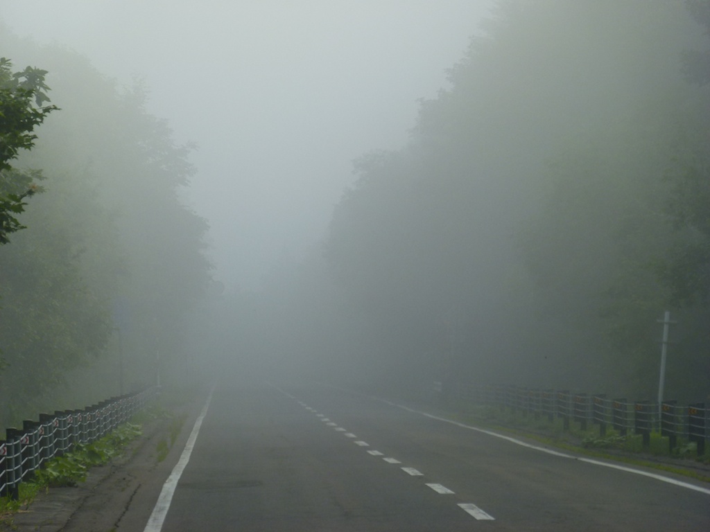
Lake Mashu – fully hidden by the fog. It remains like this throughout the year it seems and its very rare to get a veiw of the lake itself
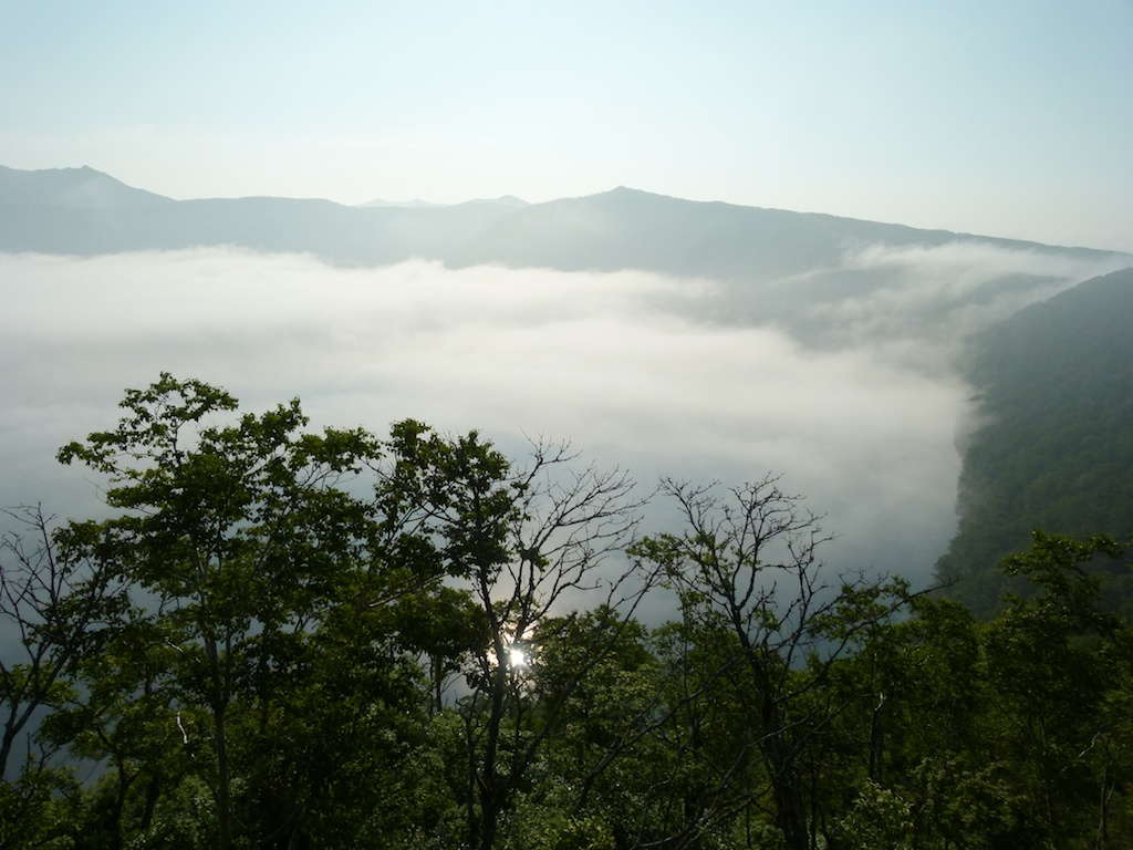
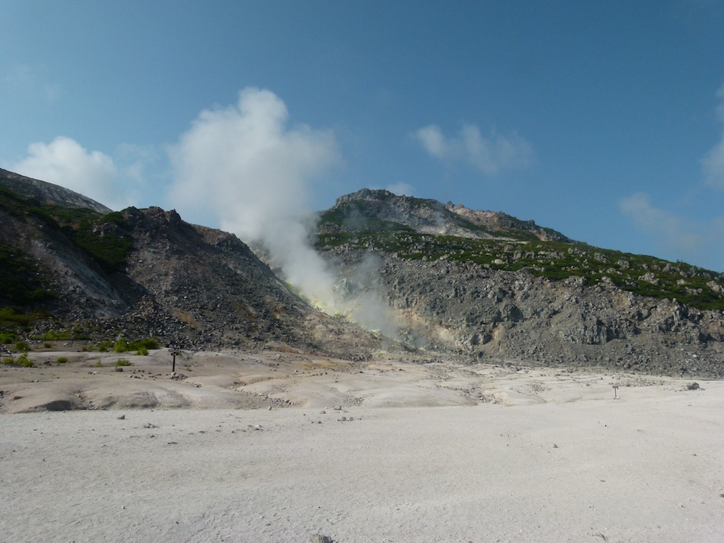
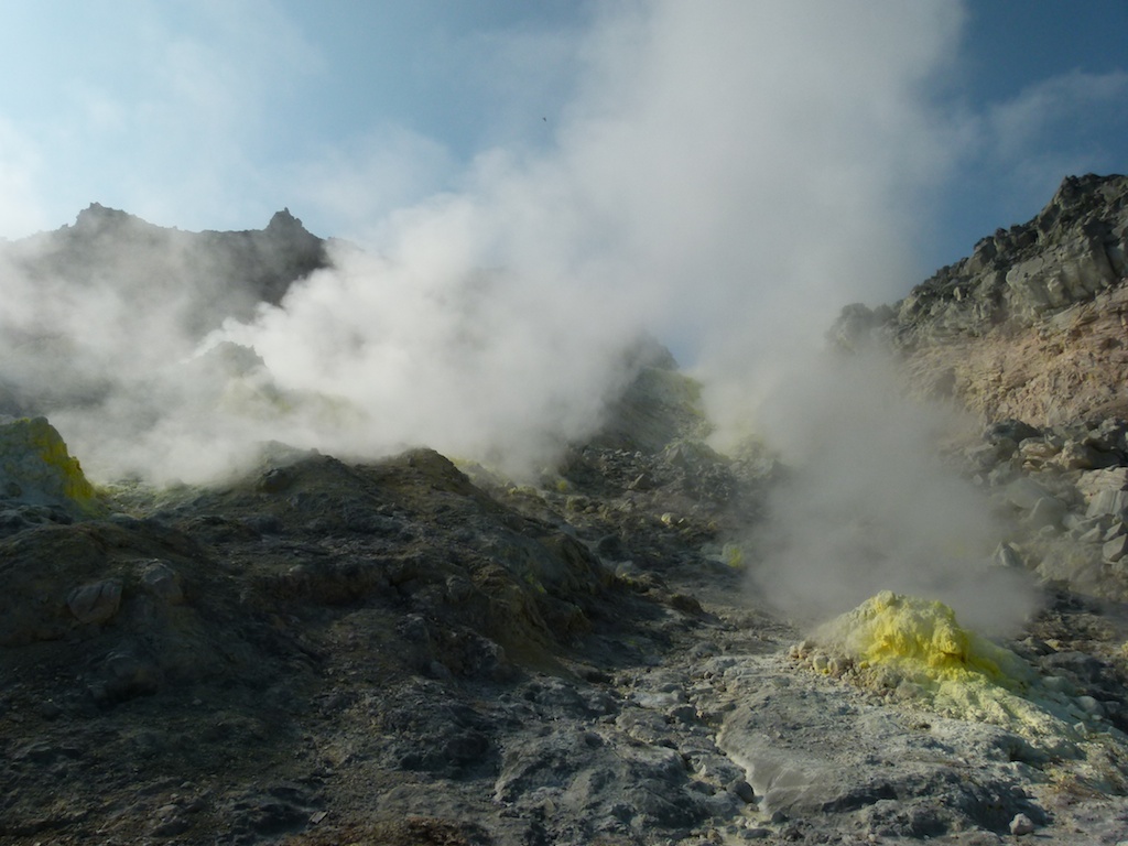
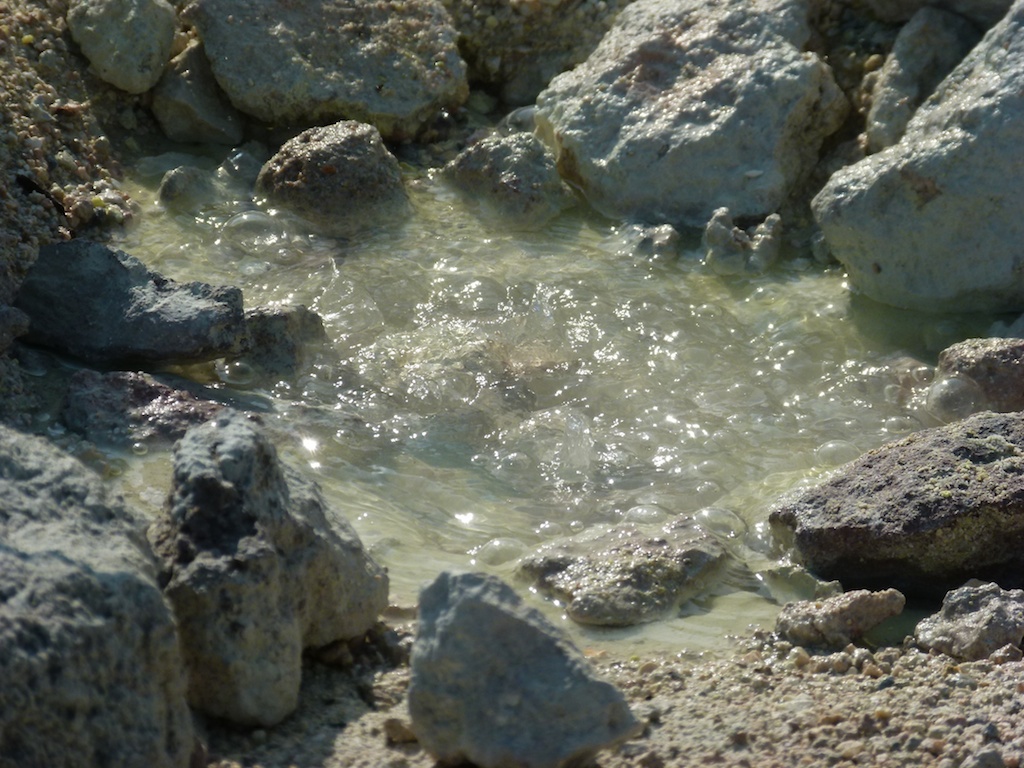
I was heading towards Lake Kussharro when I found Mount Iozan on the way with its hot springs
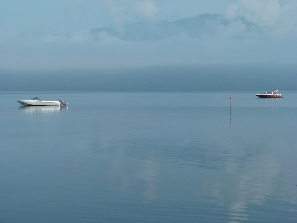
Lake Kussharoko
I than headed to Shiretoko hanto. Riding next to the sea the road frequently got very foggy
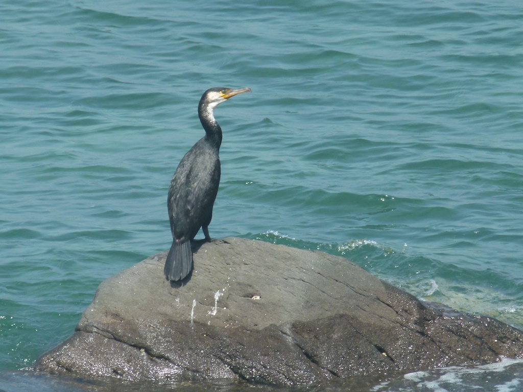
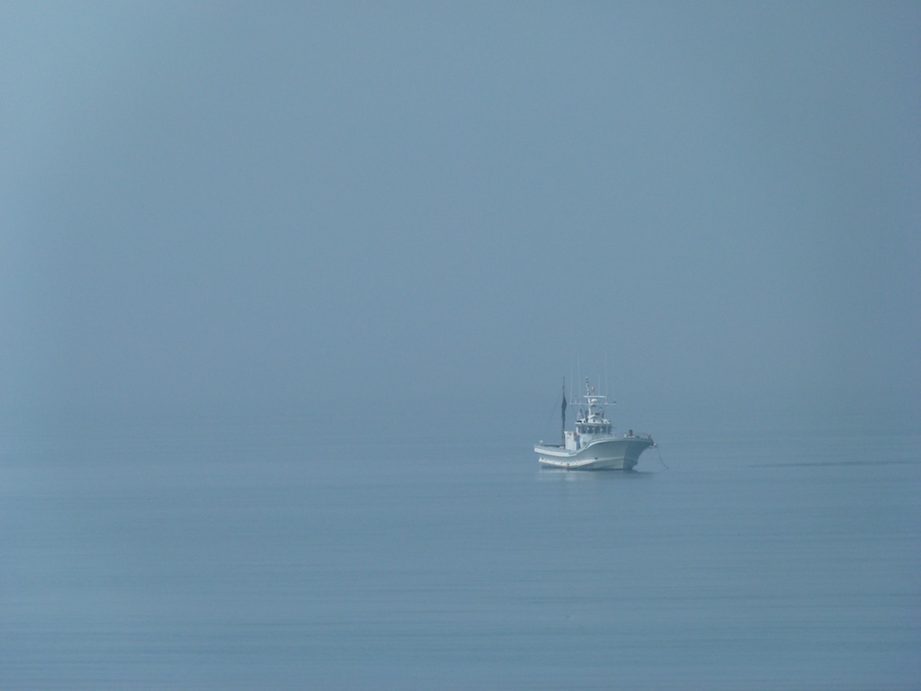
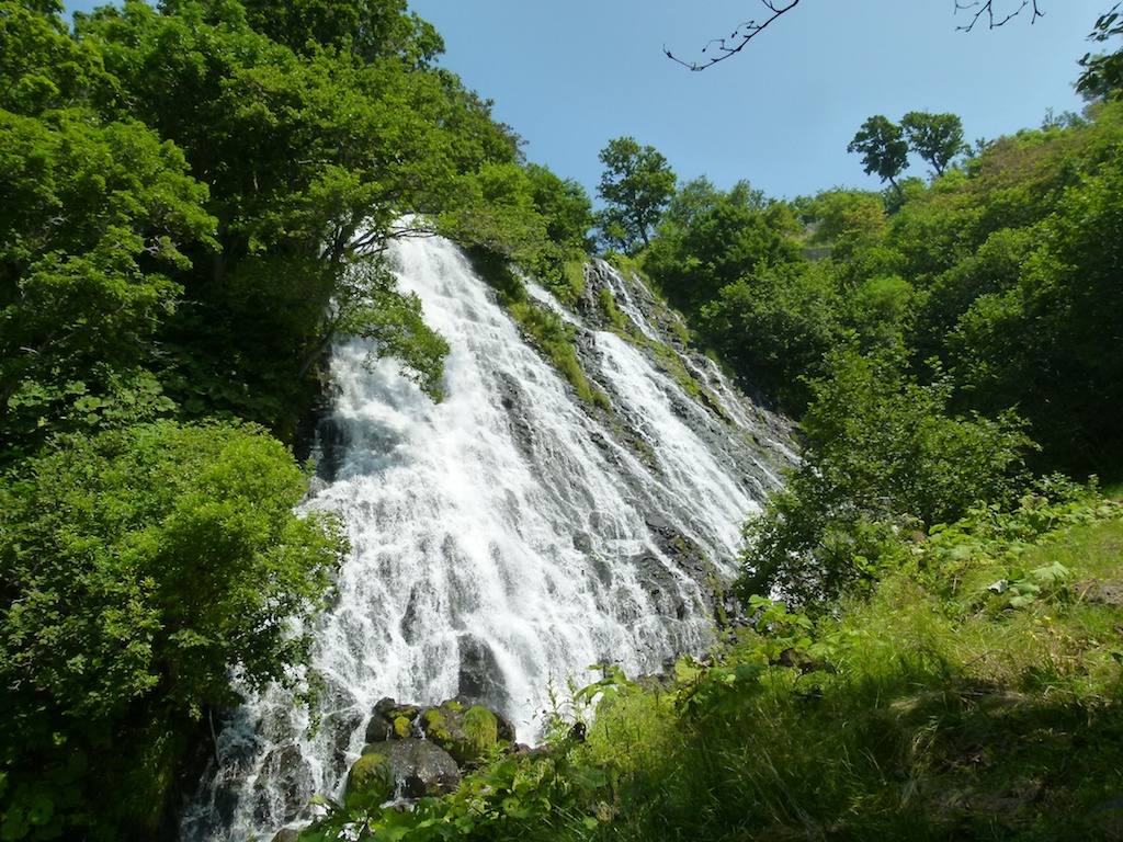
The Oshinkoshin falls
Mount Shiretoko
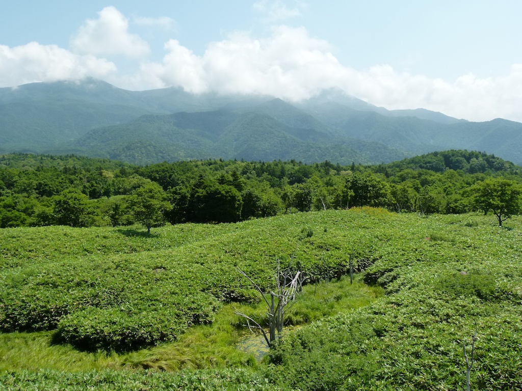
The protected marshy shitretoko area
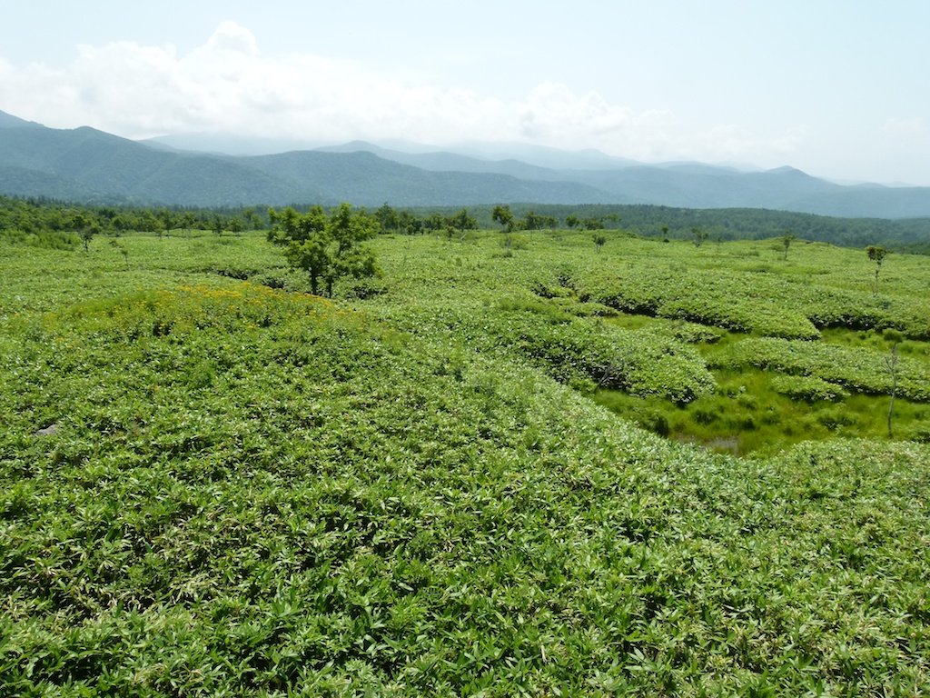
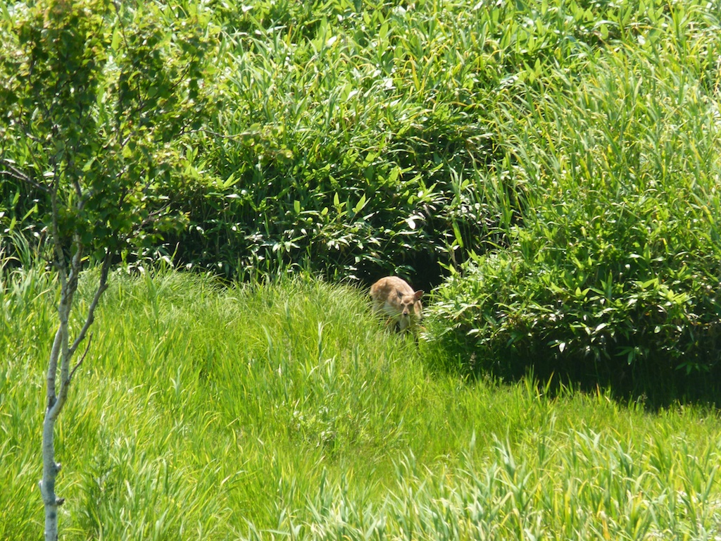
Man the roads here are simply awesome!
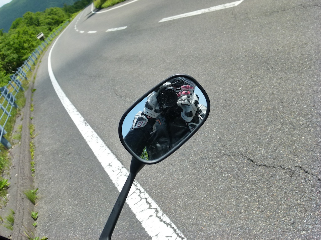
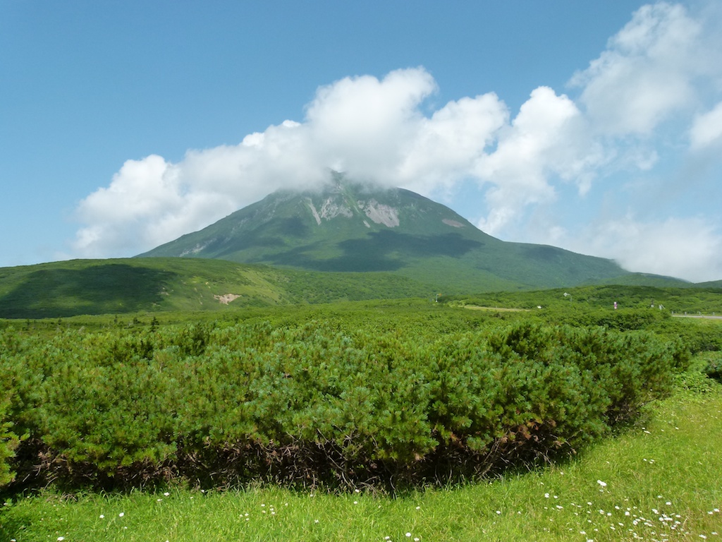
Next in to the Notosuke Peninsula. Russia is so close from here (disputed Kuril Islands)
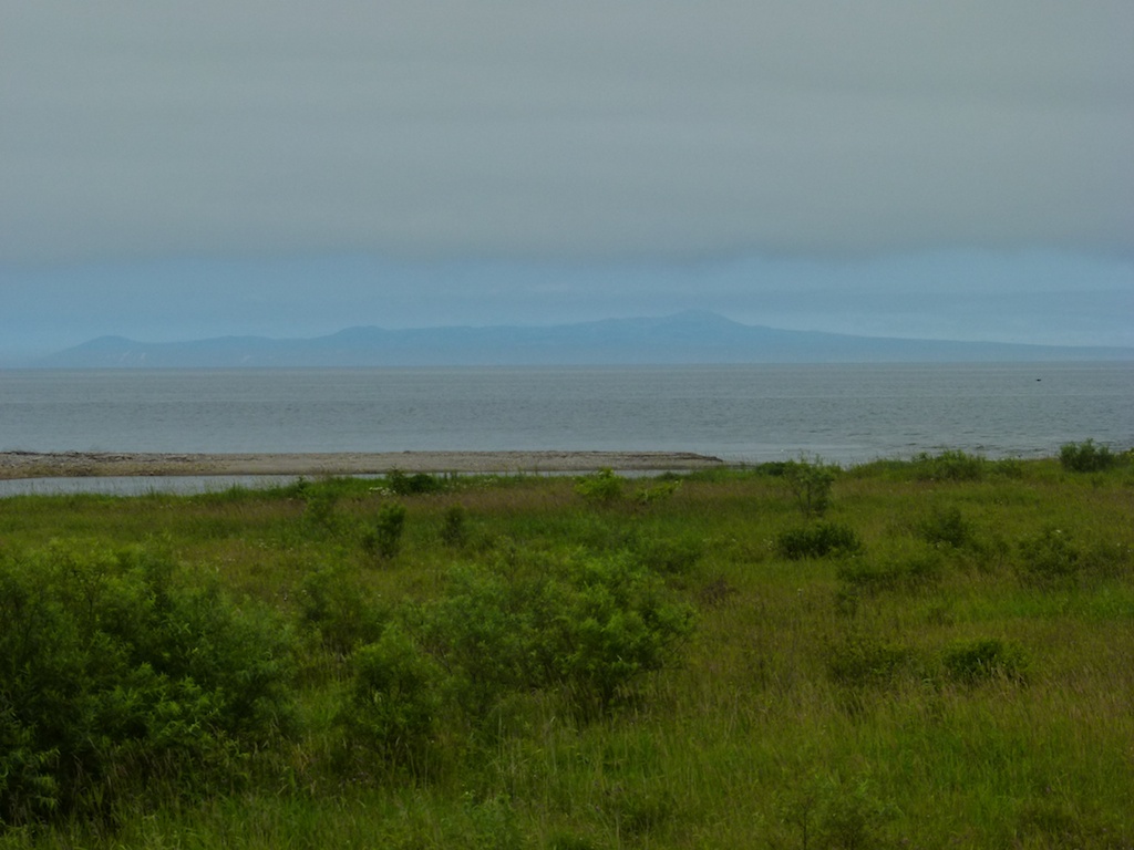
I headed as far as I could in the peninsula. Tried the FZ a little bit on rindo. It didnt feel any good at all . The FZ is definetely not made for Rindo’s
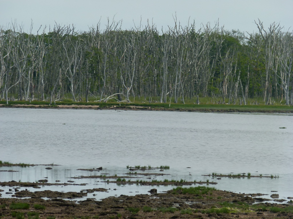
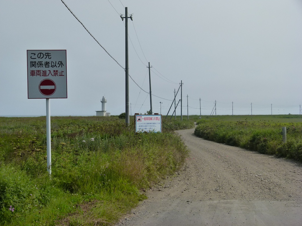
Next to Nemuro Hanto
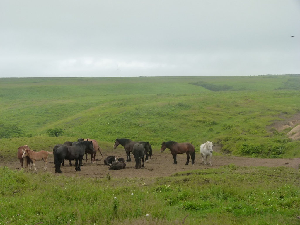
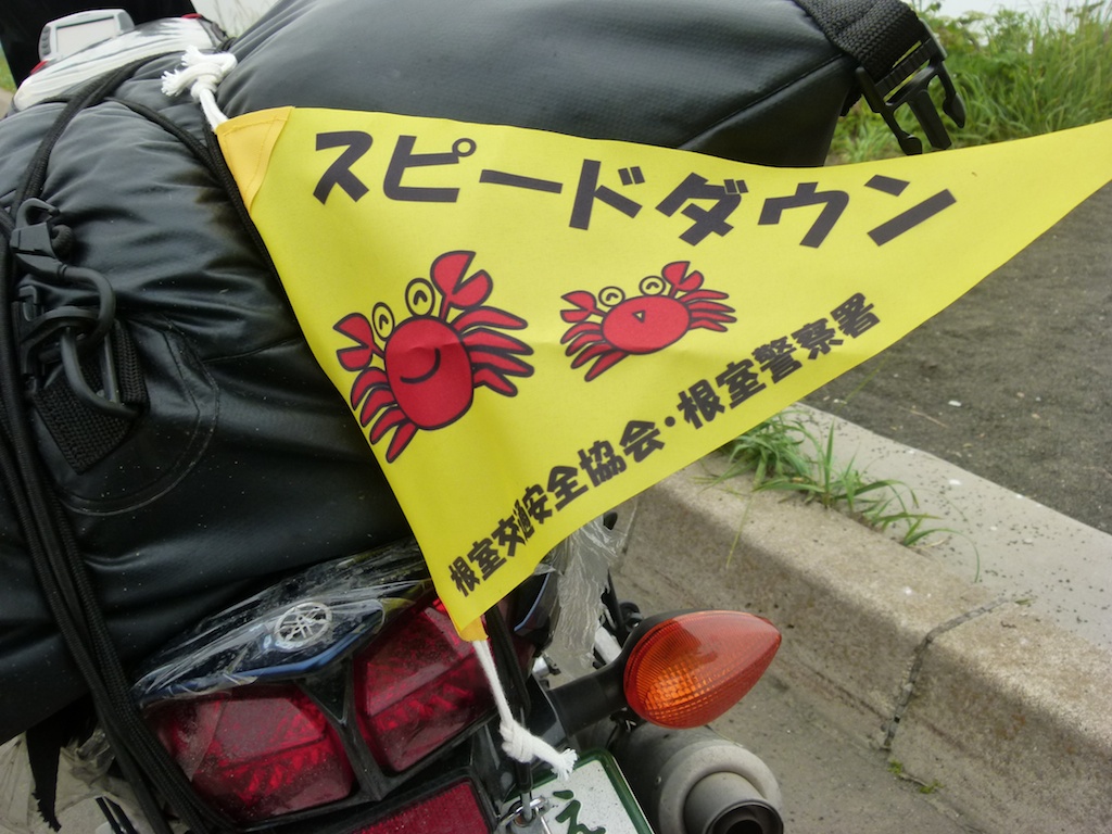
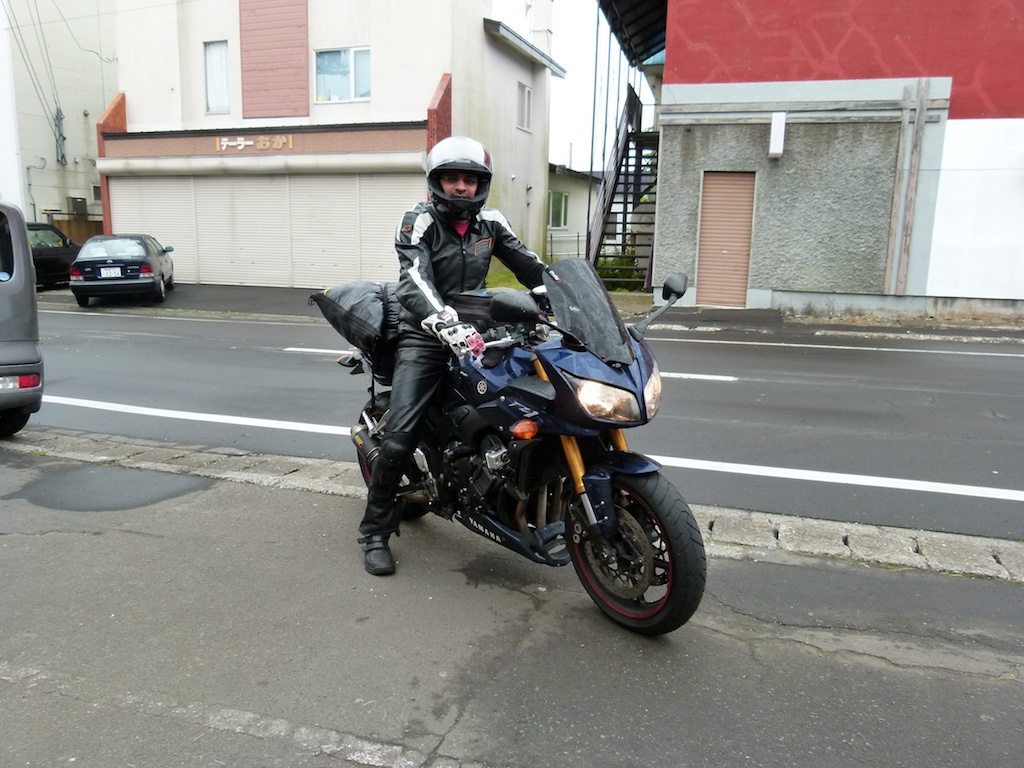
Here I got gunned by the hidden police radar. Surprisingly they had a English speaking Lady cop. Fortunately she was nice and her trip to Germany and me employed in a German org somehow clicked. I apologized for the ’slight’ overspeeding and they let me with a little ‘present’ – the ’speed down’ flag tied to my bike. I carried it all the way to Tokyo as such and its hung on my study wall. I pushed my luck quite hard by asking the lady cop (who was really cute and looked georgeous in the cop outfit!) quite a few times if I could take her picture. She seemed to be OK but unfortunately her bosses weren’t so I had to give up…
Finally Cape Nosappu.
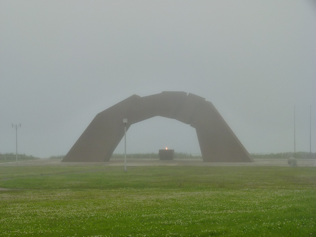
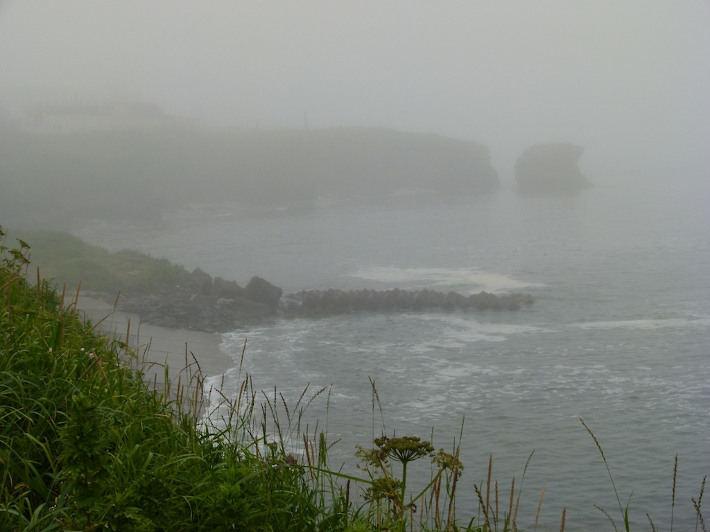
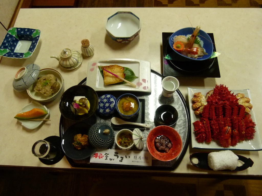
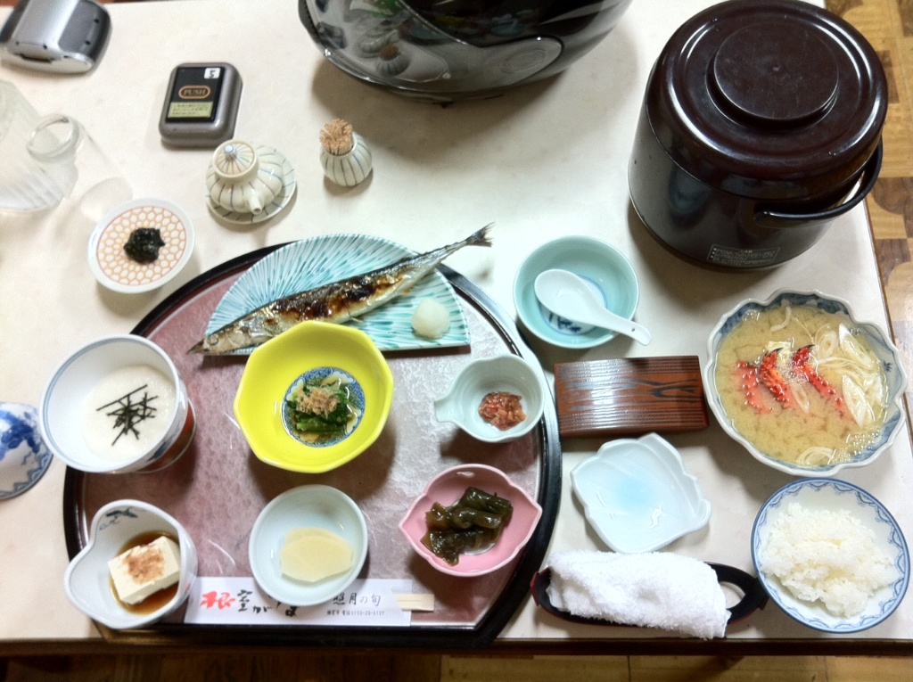
It was getting very foggy and dark so i decided to stay in Nemuro. Last night in Hokkaido so I decided to stay at a Ryokan. Found one close to the Cape and settled in there. The owner was nice and gave a ride in his car to the local Omiyage shop. This was what I got for my dinner
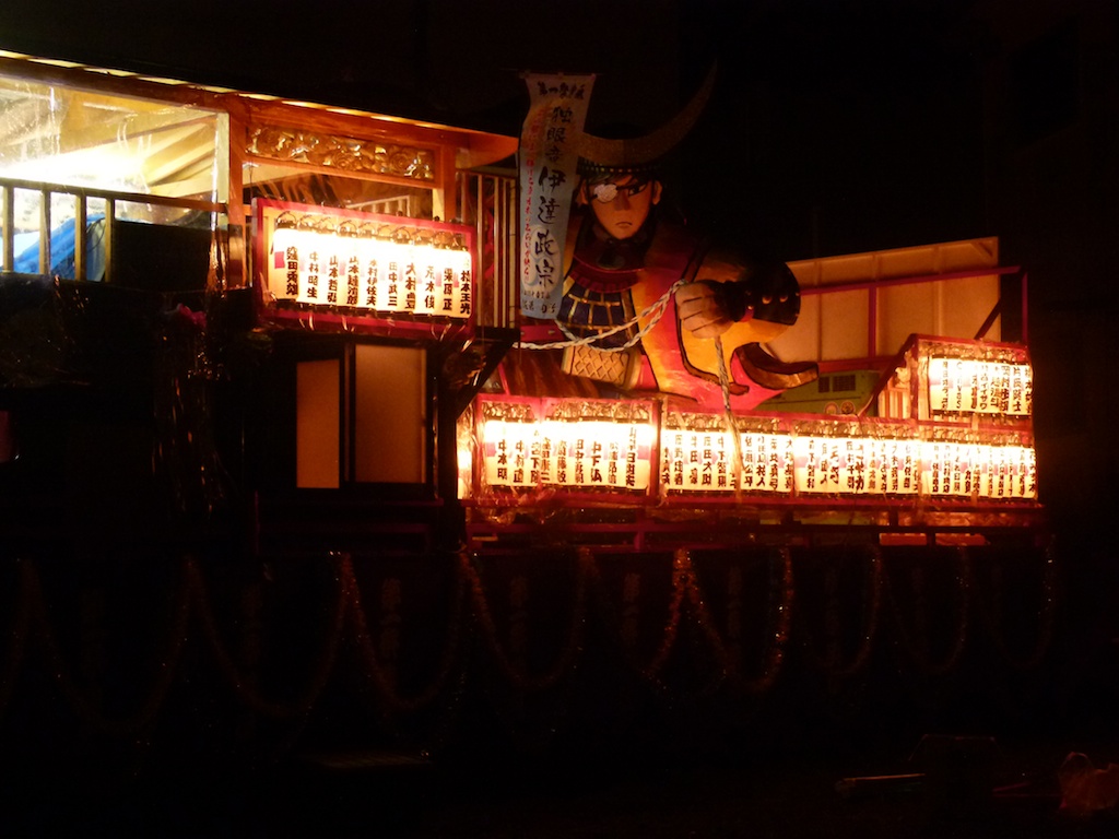
The onwer explained that there was a carnival/matsuri starting the next day and everybody was busy with the preparations. I took a small walk around and found a few of these.
Day 5 – Nemuro – Kushiro Marsh – Cape Erima – Hakodate – Aomori – Tokyo
Distance – 1648 kms
I had a lot of riding to do today so I took it easy in the morning. I got a big breakfast at the ryokan, a momento from the shop owner and than started riding around 7:15 AM. It was still quite foggy.
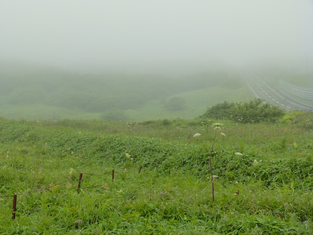
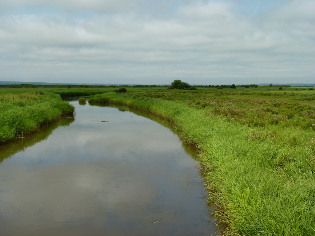
I had a quick run around the Kushiro Marsh and than I headed to Cape Erimo. Given the amound riding I had to do I stopped very few times for photos this day.
The Kushiro Marsh
Cape Erimo – the southern most point of Hokkaido
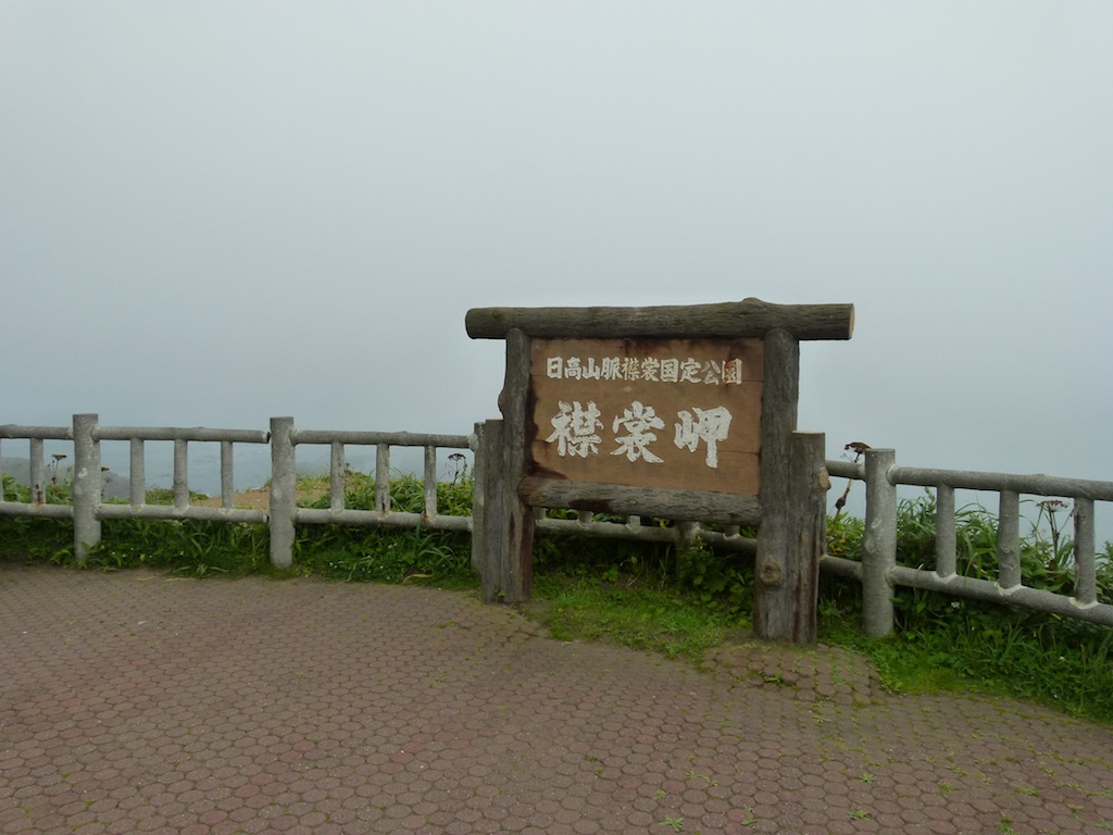
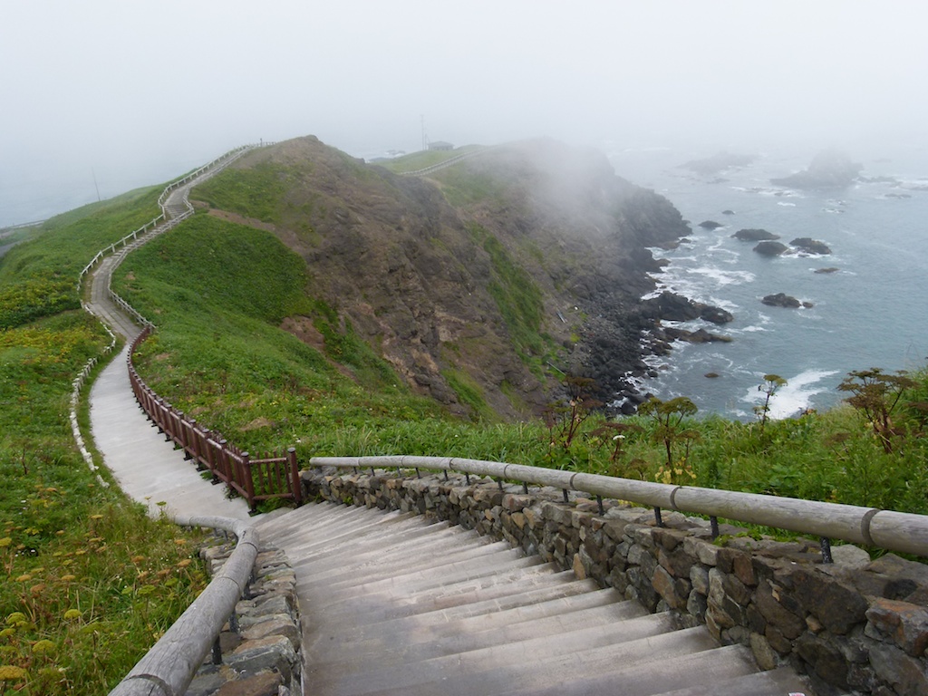
After this it was a race against time to get on to the last ferry of the day from Hakodate to Aomori (23:50). It was very foggy in the evening so I coulnt manage good speed and had to stop a lot to clean my specs and helmet shield. Also I had to get off the Doto expressway to get gas as there is only one Gas station on the entire expressway and it closes at 8:00 PM. In any case I made it to the Ferry. Had a quick nap on the ferry, reached Aomori at 3:40 AM. Than rode all the way back to Tokyo.
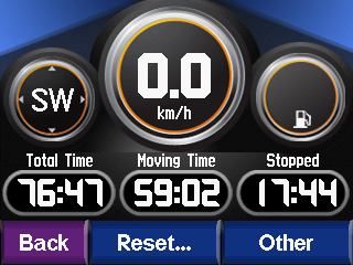
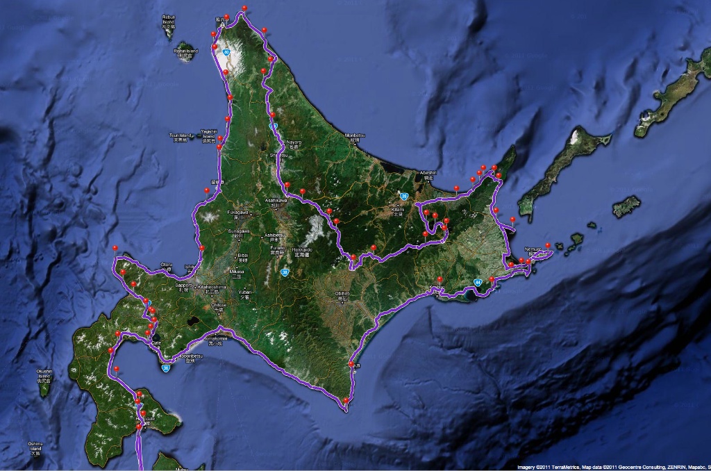
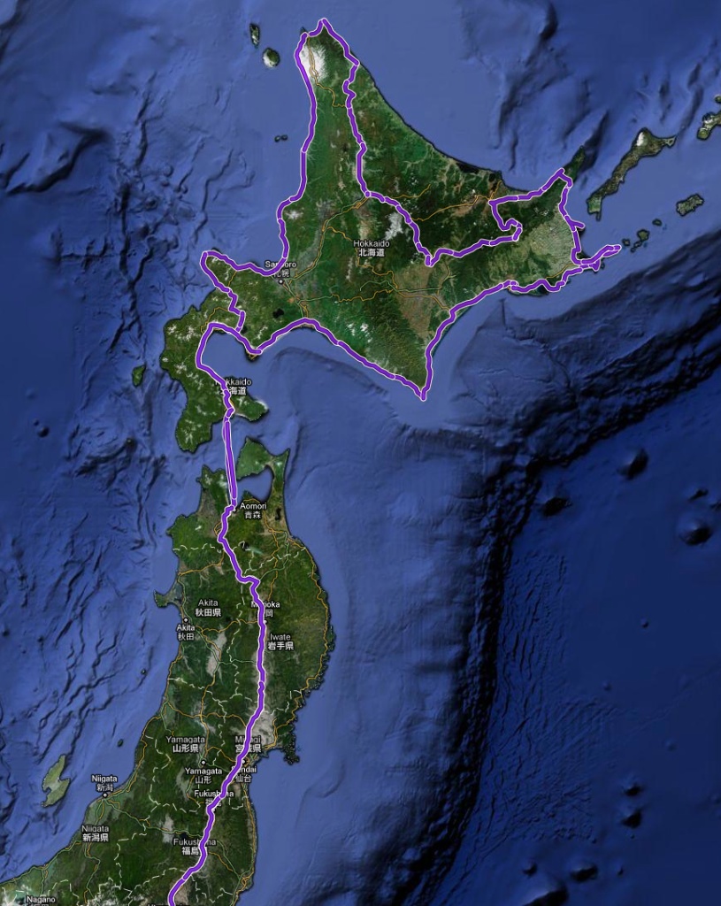
GPS records
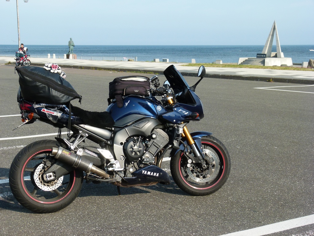
The FZ at Soya Misaki
