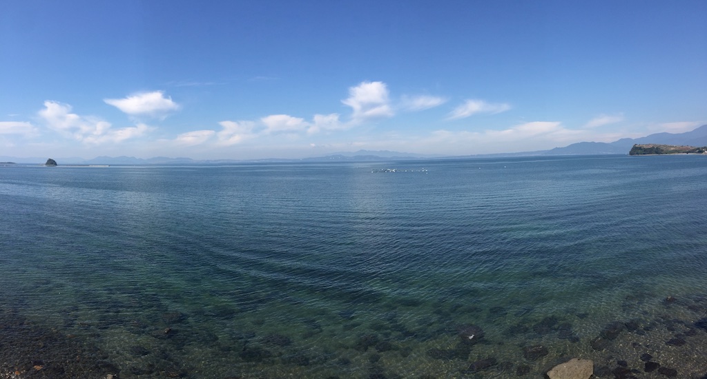
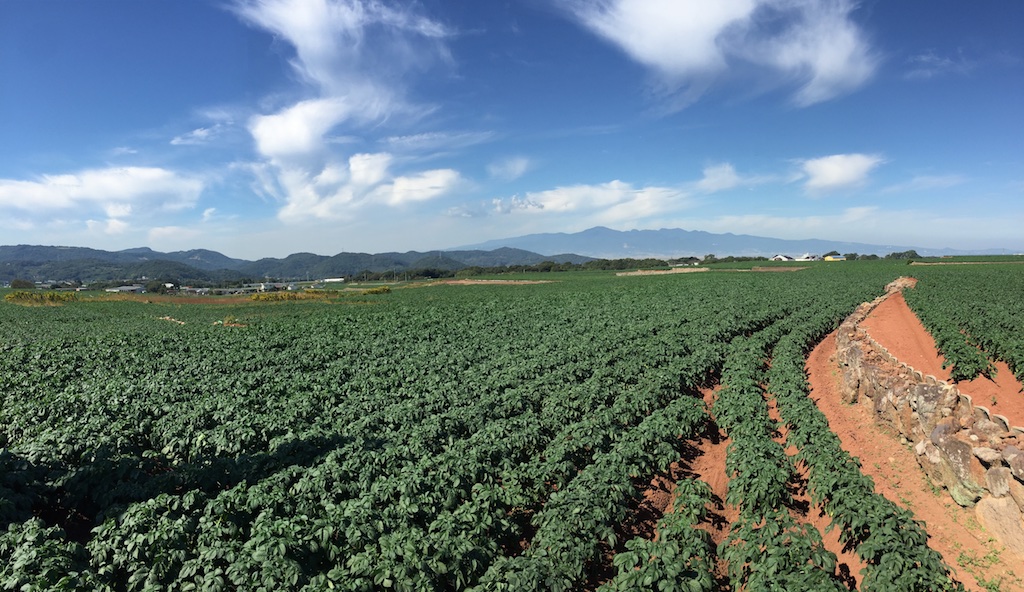
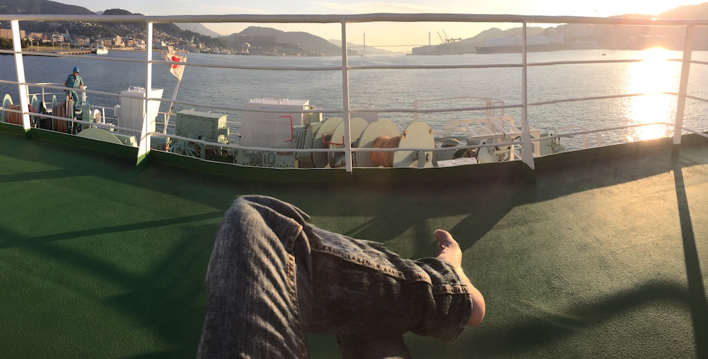
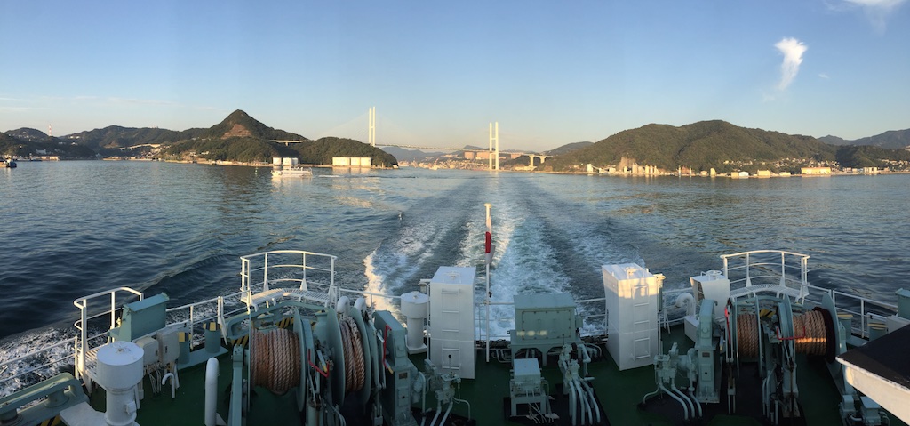
November 17th – 22nd Solo Iron Butt Saddle Sore 1600K and Kyushu Ride
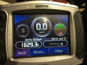
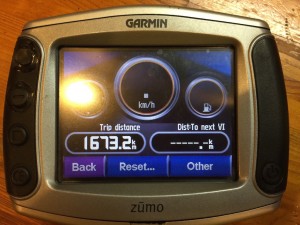
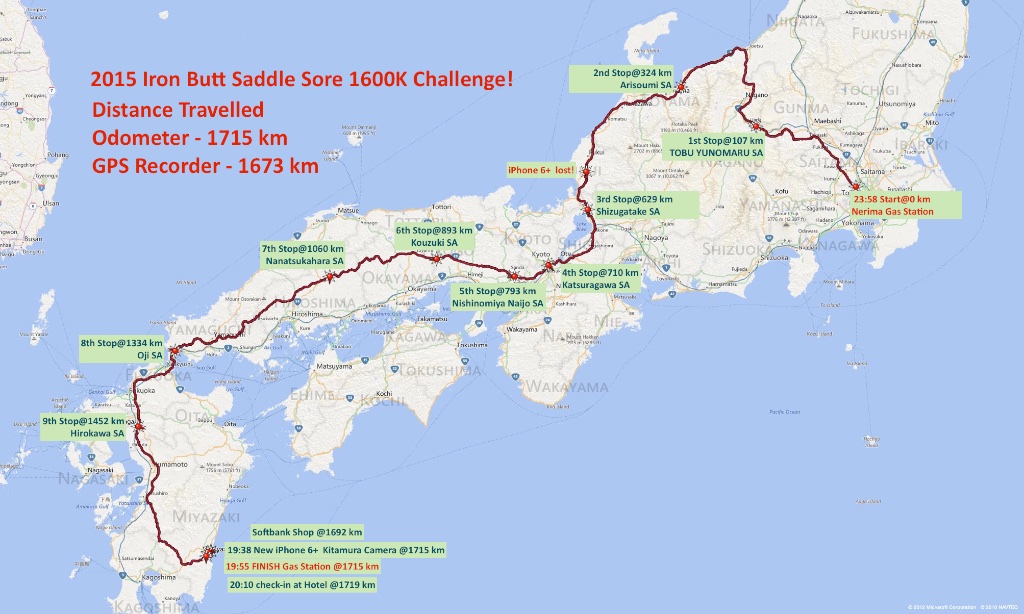
Day 1 - Tokyo Nerima Gas Station – Nerima IC (Kanetsu Expressway) – Fujioka (Joshin Expressway) – Chikuma (Joshinestu Expressway) – Joetsu (Hoikuriku Expressway) – Maihara (Meishin Expressway) – Kusatsu (Chugoku Expressway) – Shimonoseki (Kyushu Expressway) – Ebino (Miyazaki Expressway) – Miyazaki – Total Distance 1,673 kms, Total Time 17 hours 55 minutes
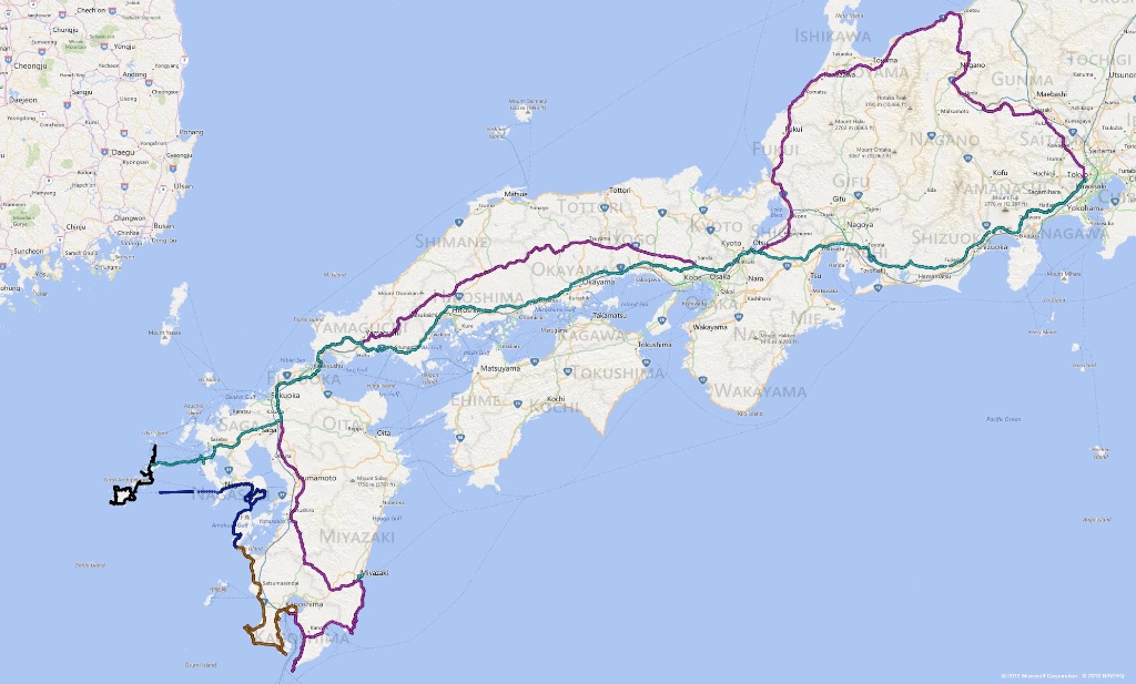
Given Kyushu is some 1300 kms, I decided to take up the Iron Butt challenge on the way. Going straight to Kyushu wouldn’t give me the required distance so I considered two options – (i) start from Shizuoka, make a U turn at Tomei and then head all the way to Miyazaki (ii) start from Tokyo, head to Nagano on Kanetsu and then take Hokuriku expressway along the west coast of Japan. I was a bit worried about the temperature crossing through Nagano, but ended up choosing the later route as I have ridden on Tomei expressway countless times before.
Plan was to leave Tokyo on late Saturday night, kick off the challenge as close to expressway as possible and then hit the expressway right after midnight to take advantage of 12:00-4:00 toll discount. So I chose the start point at Gas station right before the Nerima IC and end point at Gas station in Miyazaki. Also, I preparation I rode out to Gotemba to burn in the band new tyres that were replaced right after the trip to Miyagi ken.
I was watching the weather all along and while it was supposed to be clear, it suddenly started raining from Thursday night and continued all along on Friday. This really got me thinking if I should cancel the Iron Butt challenge and head straight to Kyushu or push the trip back by one day, especially given weather looked back in Nagano direction but was reasonably clear down South. In the end I just decided to give it a go.
Dressed up in layers of warm and safe full heated gear, protective outfit and rain suit, I arrived Gas station at Nerima around 23:45 on Friday night. It was still raining but not as bad. Given my tyres were still some 200 kms old, I made a mental note to be extra cautious for few 100 kms.
Filled up at 23:55 and headed straight on to Kanetsu. Following the mantra of “consistency, not speed”, I was able to maintain pretty decent time throughout the ride. In addition to the Garmin Zumo, my Garmin Oregon 650’s dashboard came in pretty handy with all sort of stats including overall average speed.
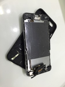
Things went well for first few hours and then the disaster stuck. At one of the stops, after checking my emails, I had perhaps not secured my iPhone well in the top case of my tank bag. It was connected to power outlet via a charging cable and at some point the vibration and bumps caused it to slide out of the flip case. I realised this almost immediately and stopped, however it was still dark and there was no way I was going to find it. I was also not inclined to venture on the expressway. There was a emergency phone booth some 100 meters backwards from where I was, so I just went there bit given all instructions were in Japanese I was not sure what to do. I was brightening up slightly so I just decided to wait there in the hope that one of the rescue vehicles will just happen to pass by. I was loosing time and was in double mind – shall I call the expressway from next stop and continue or wait to recover my phone at the risk of loosing the IB challenge. No rescue or police vehicle arrived but it lighted up sufficiently in next 15 mins for me to be able to see my Phone’s carcass few meters from where I was. Recovering it was a strange sense of relief – at least I could not continue the Iron butt challenge without being worried about having given up on my iPhone….
The first picture taken by the new iPhone later at Kitamura camera shop….
Called wife from the next stop and informed her of the incident. First she was terrified thinking I had fallen but took the message pretty well after understanding and promised to call softbank to check my options while I could continue with the IB challenge. With this worry over, I continued the ride. Pretty disciplined and consistent ride and I was approaching finish point well within the targeted time. Knowing shops will close early on in Miyazaki, I stopped at the Hirokawa SA and called my wife, who by this time had spoken with soft bank, explained my situation and spotted a soft bank shop near my destination. Given it was to close by 6:00 PM, I first headed to the shop, which in turn asked me to go to Kitamura camera for a paid exchange instead of a new phone. This consumed some time so I took the first witness signature from Kitamura camera staff. Ended up with a dent of 87,000 yen for the phone and protective case. Nonetheless I was relieved that I had a phone. There was a Gas station right next to the Kitamura camera so I decided to use that as my Finish point. Here I refilled the tank at Shin Beppu gas station, where the gas station staff signed the witness form.
Headed to the hotel and they were glad to sign the third witness form although this was completely unnecessary.
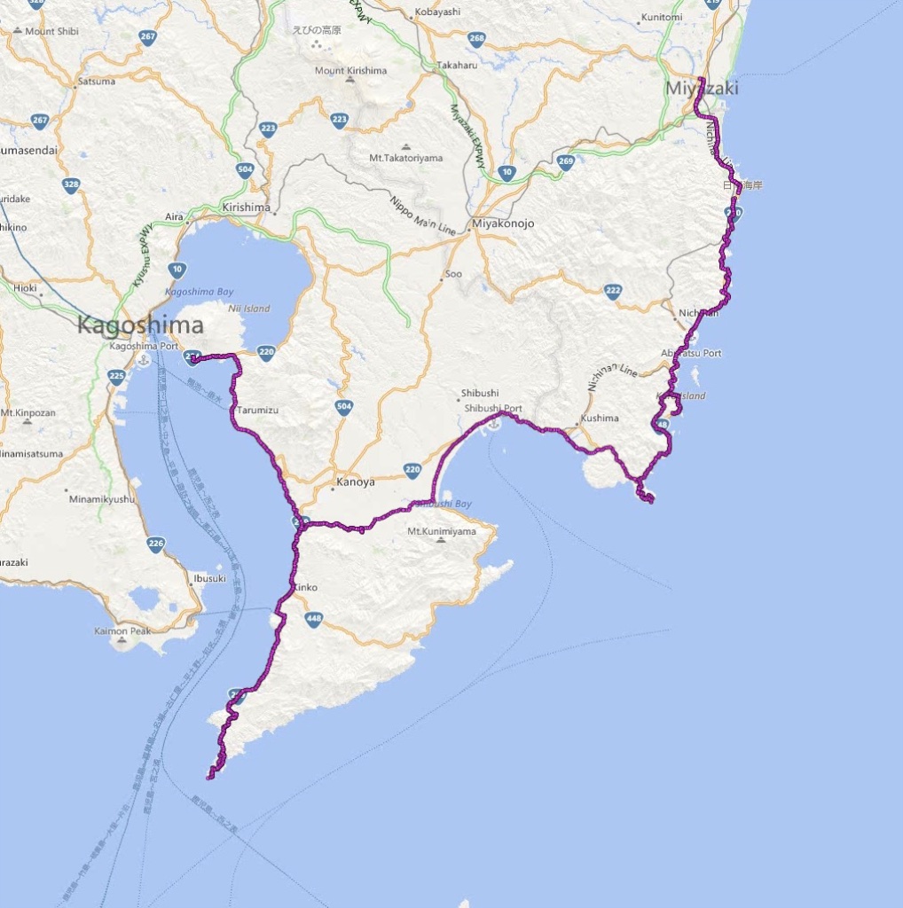
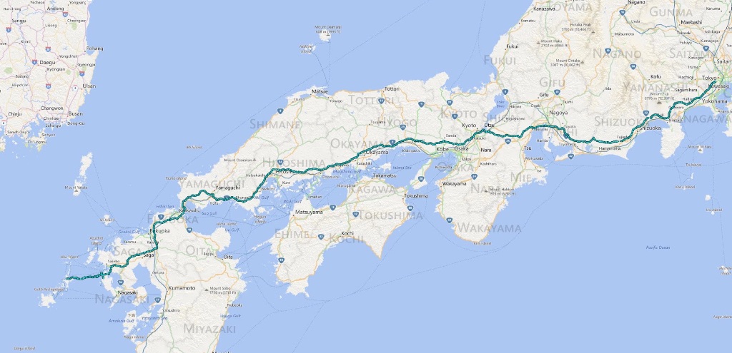
The Saddle sore 1600K track
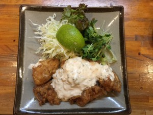
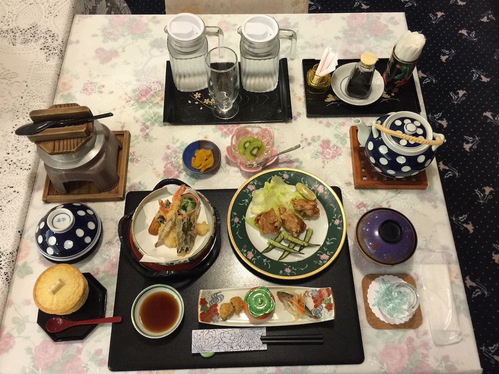
Once checked in, I took a quick shower and headed out for dinner. What better then try Miyazaki’s speciality chicken!
Off to bed, I was surprised how comfortable Super Tenere is, after such a long ride there was no body ache etc. Got my thinking it is entirely possible to try out Iron Butt Bum Burner challenge some day.
The other thing that came to mind was that the last time used a pay phone was more then a decade ago, and that my children don’t even what a pay phone is. Made a mental note to take them to ay phone booth once I was back home.
Day 2 – Miyazaki – Toi Misaki – Sata Misaki – Sakura Jima – Total Distance 260 kms
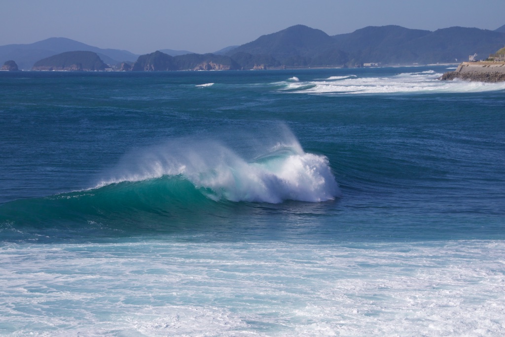
Todays plan was to ride in Osumi peninsula in Kagoshima and reach as close as possible to Satsuma peninsula. So following a lazy start I took the coastal route 220 along Pacific ocean towards Cape Toi Misaki. Quite windy day and the waves for excellent for lot of surfers to be out there!
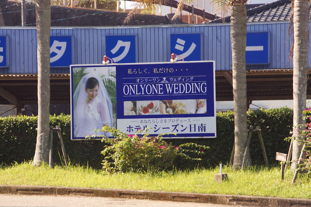
I guess this advertisement will turn off a lot of second (or more) timers ![]()
I had never been to Toi Misaki and was quite excited to bag the same, however soon hit the road block as the road was closed. One thing I have learned in years is that if the Japanese say a road is closed, it IS closed. So instead of trying to find a way to circumvent the barrier, I headed back to take detour
Oh yes, Toi Misaki bagged!
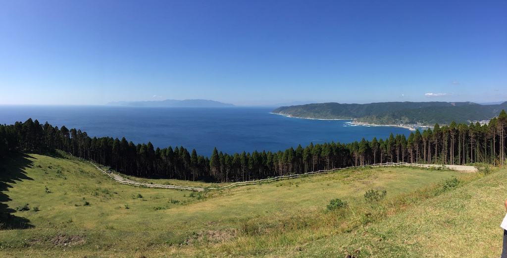
Views from Toi Misaki
The small tripod I carry came in handy here, although the horizon seems sinking on the left
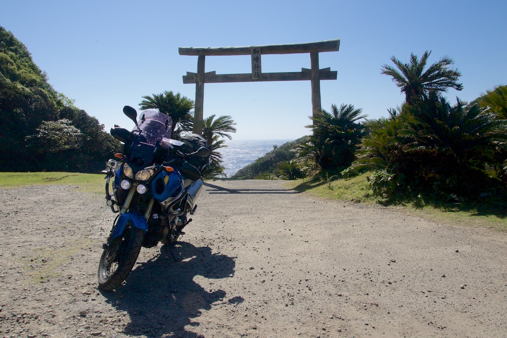
A small route leading to Sago Palm habitat in the same peninsula and a Jinja gate there
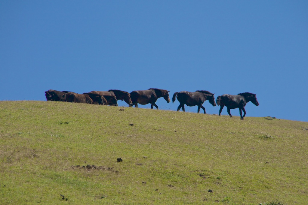
There are supposed to be horses here, semi-tame though compared to the wild one’s at Tsugaru hanto in Tohoku area. Did find them although quite far from the road
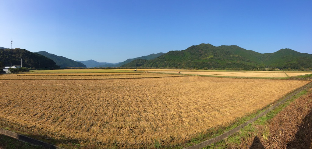
I then continued towards Sata Misaki on 220. Quite beautiful rice fields and scenery along the way
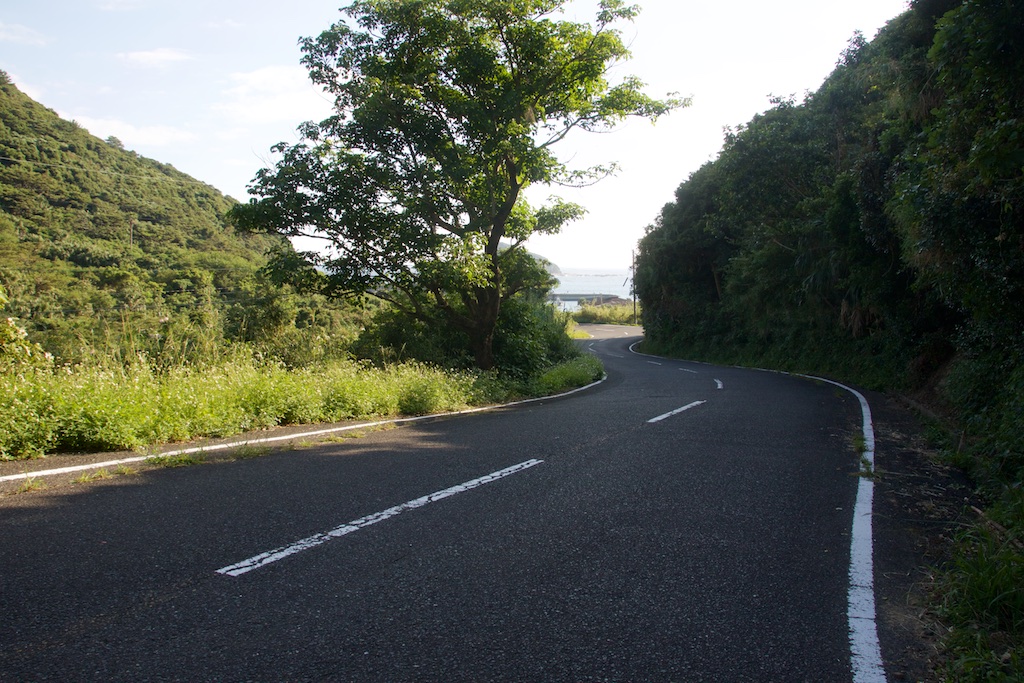
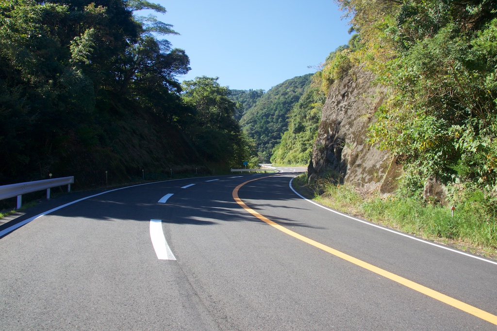
The curvy road to Sata Misaki.
The last time I was here was here was in 2008 and unlike then, the road to Sata Misaki now terminates some good 200 meters earlier and one has to walk the rest of the way. There are seating benches and vending machines at the start point and I am sure its a better of time before there will be a ticket booth to visit the Misaki
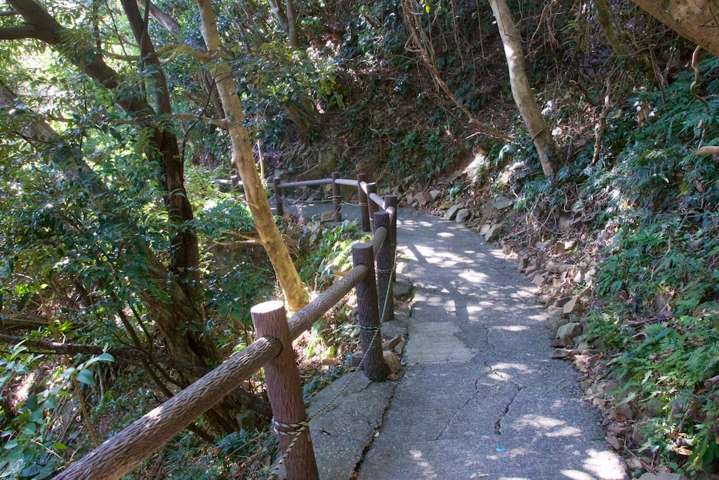
The walk way to Misaki
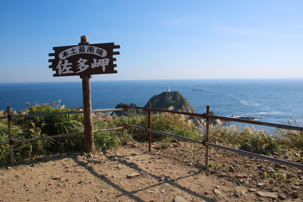
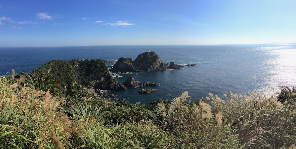
And finally the Misaki itself, southernmost point of Kyushu!
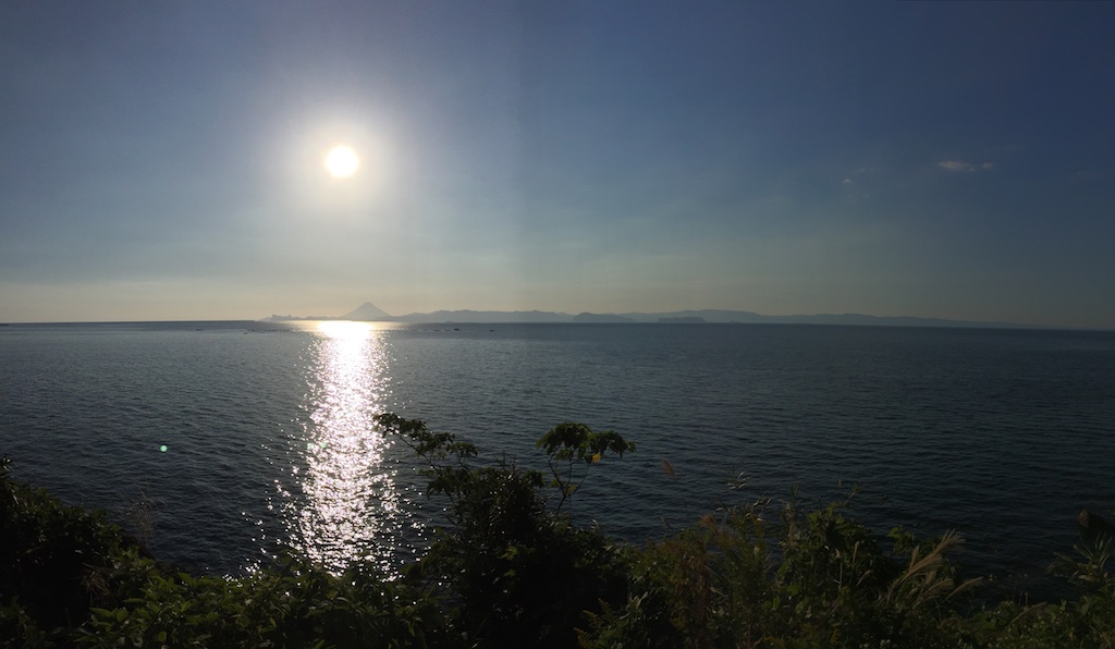
By this time it was late in afternoon and it is clear I would have to make a stop at Sakurajima. Called and booked Sakurajima Ryokan. Distant view of Mount Kaimondake from route 269
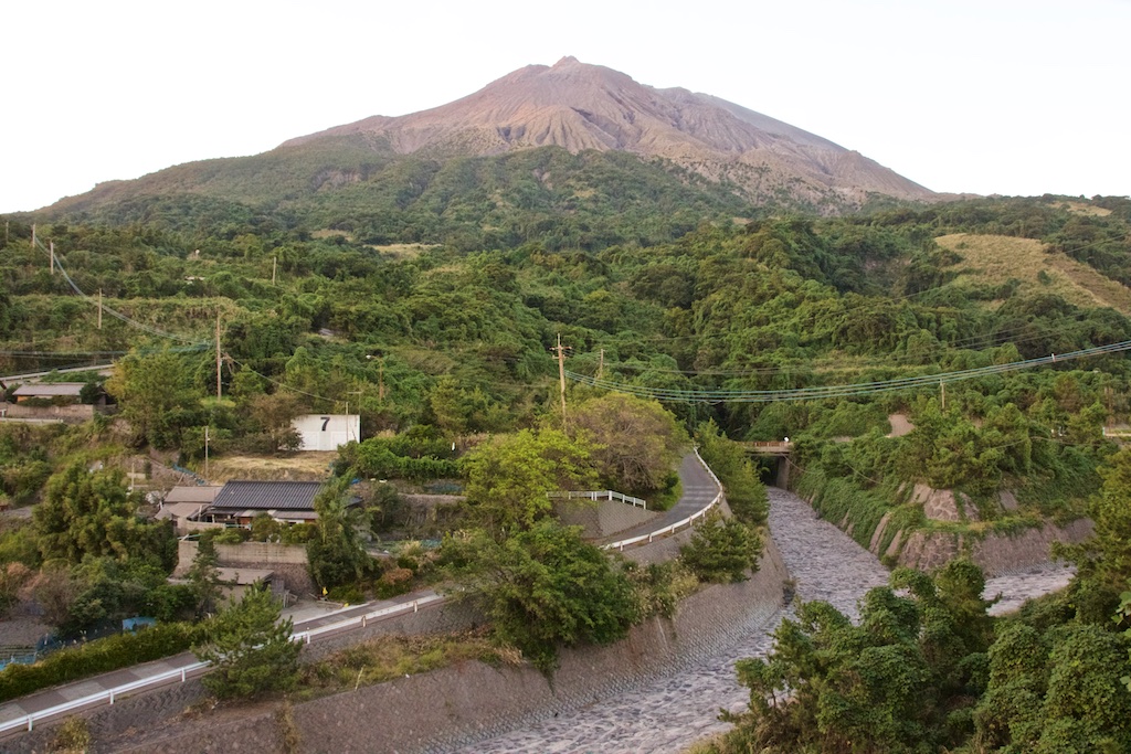
And finally Sakurajima in the dusk. It looked majestic and the camera just simply do enough justice.
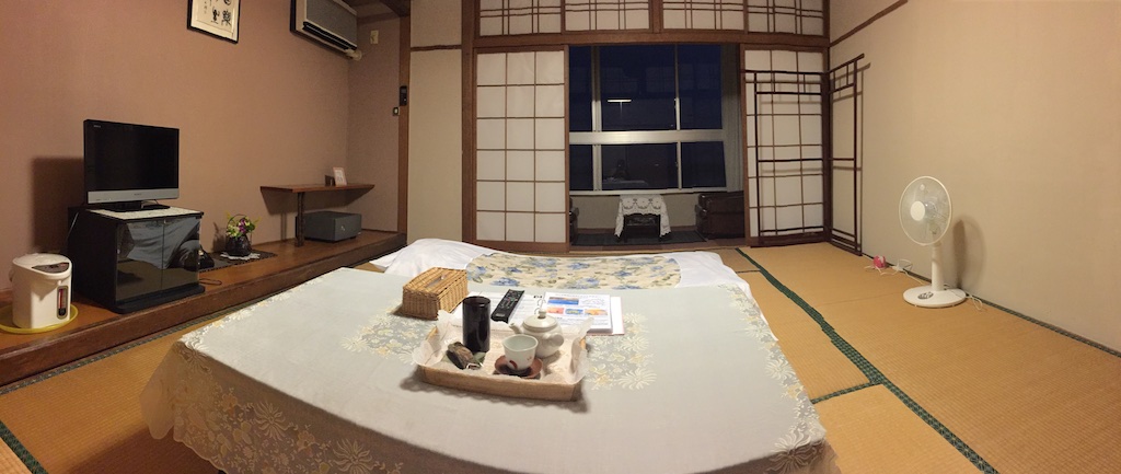
After a little bit of ride on the island, I checked in to Sakurajima hotel. Its an old building but quite pleasant surprise – for 5,500 JPY per night stay and 7,200 JPY with dinner and breakfast included along with a natural onsen, it was a pretty good find!
After a dinner sandwiched between two onsen soaks and a massajiki (massage machine) session, I headed to bed
Day 3 – Sakurajima – Cape Nagasakibana – Cape Nomamisaki – Nagashima – Ushibuka Total distance 293 kms
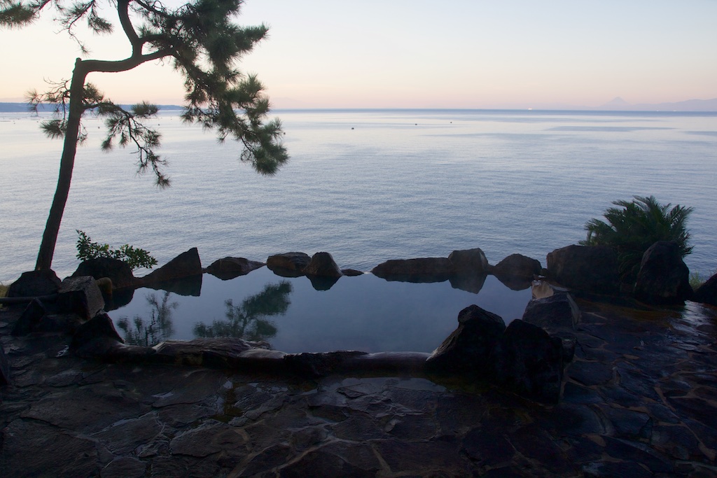
Woke up quite early and headed to the rotemburo as I wanted to witness the sunrise while listening to the waves in calm. Setup the tripod and camera to take a picture of myself in the serene environment but by the time I was ready, another old man decided to make it to the rotemburo. Man! was I disappointed ??!! But sometimes things play out in your favour ![]() The Ojisan first got surprised by seeing a naked foreigner, and then froze and finally promptly exited being a camera on tripod pointing to the Rotemburo with the live LCD on
The Ojisan first got surprised by seeing a naked foreigner, and then froze and finally promptly exited being a camera on tripod pointing to the Rotemburo with the live LCD on ![]() Must be wondering whats the point in filming alone
Must be wondering whats the point in filming alone ![]()
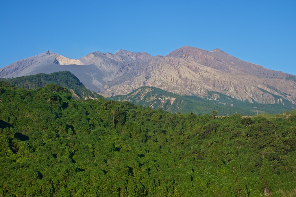
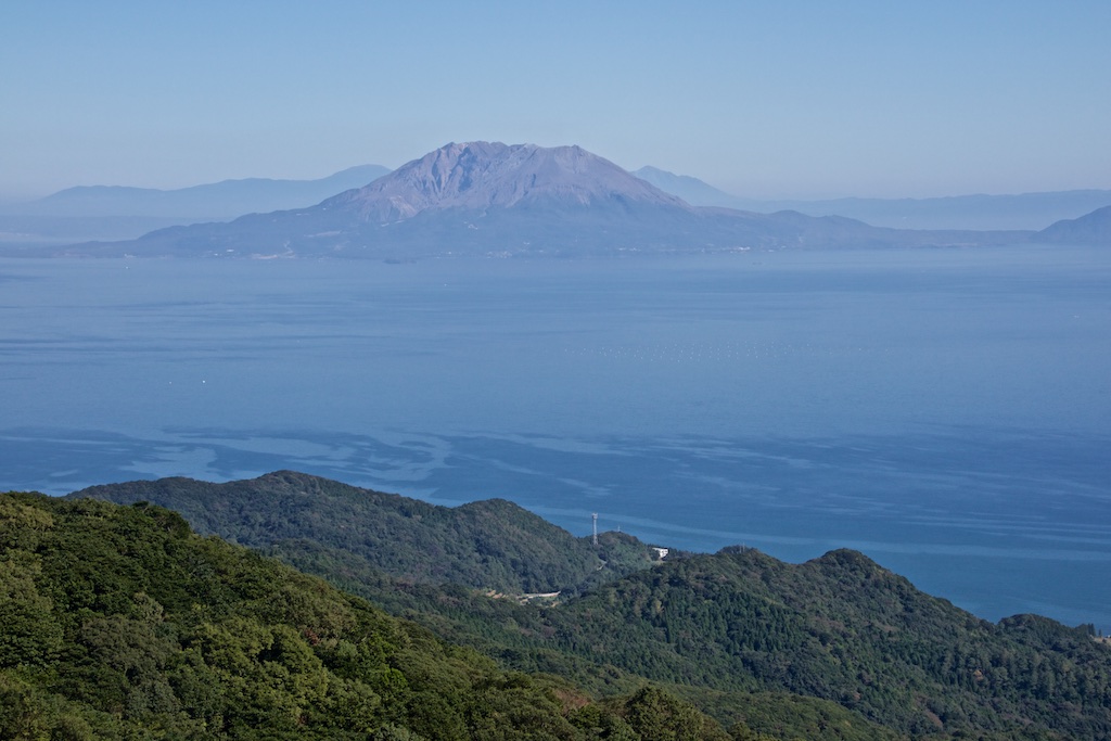
Checking out I decided to ride along the island and take a good view of the volcano. I was not disappointed. Views of Sakurajima
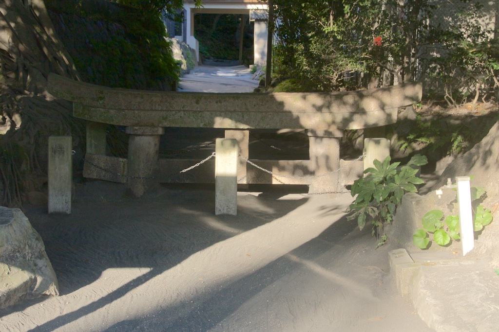
The famous Jinja gate buried under the lava
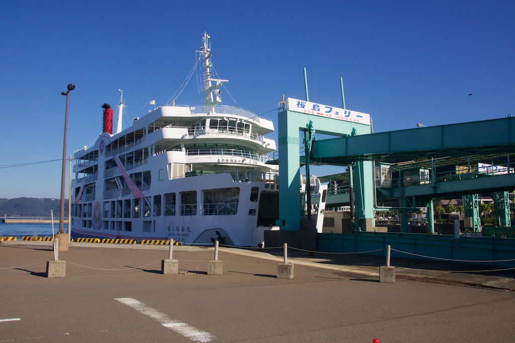
I was planning to take the road to Kagoshima but the Ryokan staff told me that taking a ferry from Sakurajima port to Kagoshima port will be faster. Indeed the ferry runs every 30 mins and costs less than 1000 JPY including bike (actually you pay for the bike and you are free). Boarded the same.
Once on the Kagoshima side, I headed towards Cape Nagasakibana. By this time it was starting to get a bit hot. And to make matters worse, I made mistake on taking the route twice to Ibusuki skyline, clearly the sign that I was more tired than I realised. Here I took a 45 mins break feasting on food and drinks from a combini. Recharged, I was on Ibusuki skyline in no times. It was awesome to ride on it after 7 years, pure riding pleasure!
Sakurajima is MASSIVE. Distant view from Ibusuki skyline
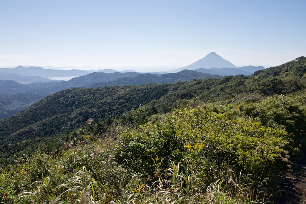
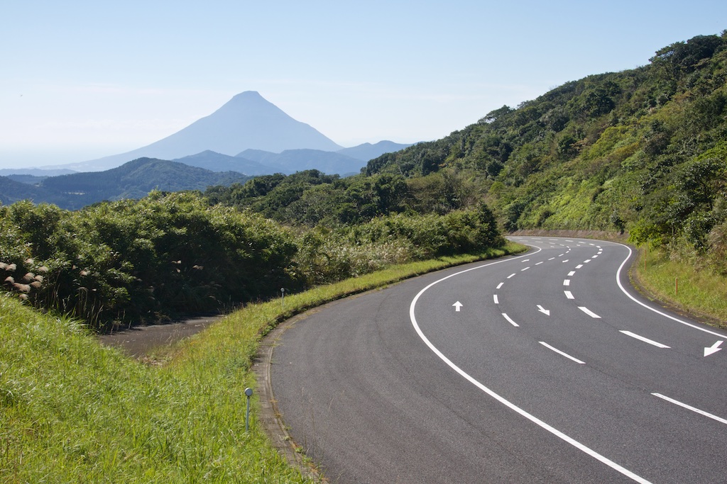
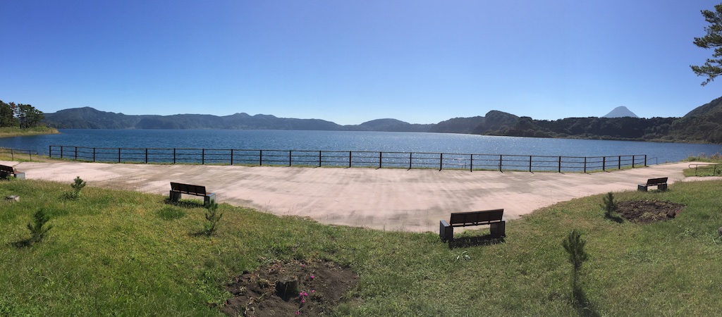
A distant view of Mount Kaimondake and Lake Ikeda. Just like last time, it was hazy making it very difficult to take a clear shot of Mount Kaimondake, known as Mount Fuji of Kyushu due to its conical near conical shape.
Nice, very nice!
Lake Ikeda
And the Cape Nagasakibana
From here, I headed to Cape Noma Misaki. Rode nonstop for a a long time (including twisties) until the reached at the platform on cliff overseeing Okiakimeijima Island. The cliff drops vertically for more then 150 feet (me thinks) from the platform. After couple of hours non-stop ride, it was tremendously refreshing to take a wild leak standing at the edge of the cliff. What a relief! fortunately there was almost no wind!
The edge of that long stretch is Cape Nomamisaki!
The last few hundred meters to the Cape is quite scary, the road turns in to cemented path about a meter wide, winds sharply and ascends quite quickly, none of which are a good sign when you are on a 260+ kg bike loaded with you and your gear. Nonetheless I made it to the top and was quite pleasantly surprised to see another motorcycle parked there. The feeling didn’t last long when the rider decided to depart without responding to a hello. A second rider arrived on a 400 cc Honda soon and while he respond to hello, didn’t leave much of comforting impression by walking around and talking to (and seemingly disagreeing with!) himself.
Nonetheless I clicked a few pictures, after all I had bagged another Misaki, and then headed down.
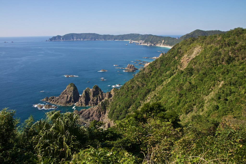
From here I headed towards Nakashima Island. Beautiful views along the way
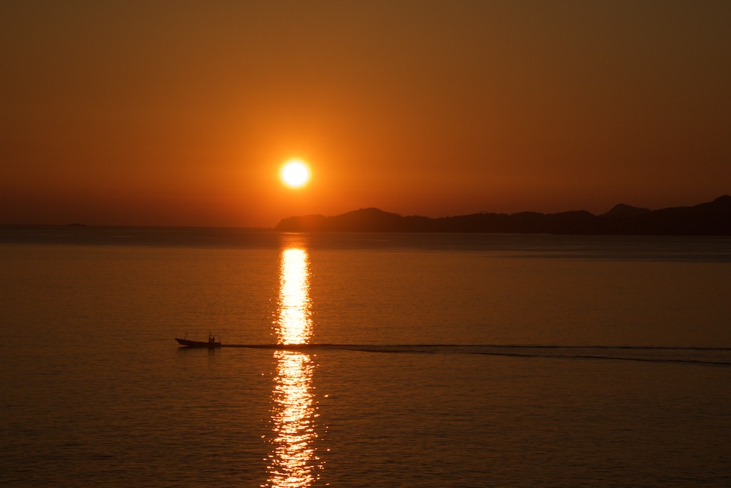
From here I took a ferry to Ushibuka and following a brilliant sunset over the sea, checked in to a Business hotel.
I was quite tired but wanted to take a quick dinner and make plans for next day ride while eating. Took a quick shower and asked the owner for recommendation. Strangely enough, he recommend me to walk down few blocks while there was a place called Heart (Hatto in Japanese) to eat right next door. Nonetheless I headed the recommended place.
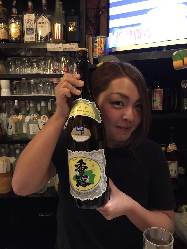
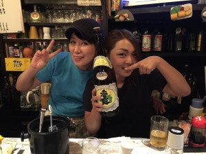
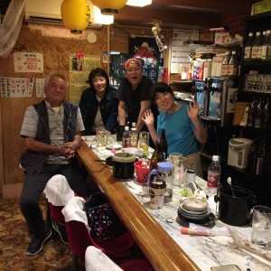
Quite small place in countryside, I was a bit hesitant when I first saw it but given I had no options, knocked and went inside. The hostesses and a few guests recovered well from a millisecond of shock and immediately invited me in, and it was immediately clear to me that this wasn’t going to be a ‘quick dinner’.
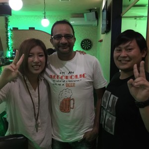
Lots of fun at the place! If you are ever in the area, I recommend you go visit this place! Saira in the top picture
I don’t recall at what time, but definitely much later then what I had originally intended to, I headed back to the hotel with a handful of notes and invitations on where I should visit and who could help me the following day in Amakusa. I had already lost the count of hugs I had. Speaking Japanese definitely helps!
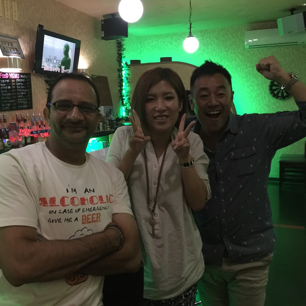
It was not over yet though. As I was trying to pick up the key from reception, a Japanese guy (Karashima San) just approached me, said hello and invited out. Well, no point in being rude. So he called a Taxi to place called Deep River (another place I highly recommend if you happen to be in the area) and we headed out.
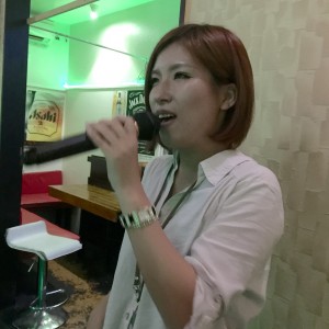
Among other things, there was making new friends and singing at karaoke, Santana and Aerosmith were in town!!
Wayyyy past my original target I headed back hotel. By this time I had truly lost the hugs count and couldn’t figure how many perfumes I had on me. Oh well, it was a great evening and I made some new friends!
Day 4 – Ushibuka – Amakusa – Shimabara – Unzen – Fukue – Total distance 274 kms
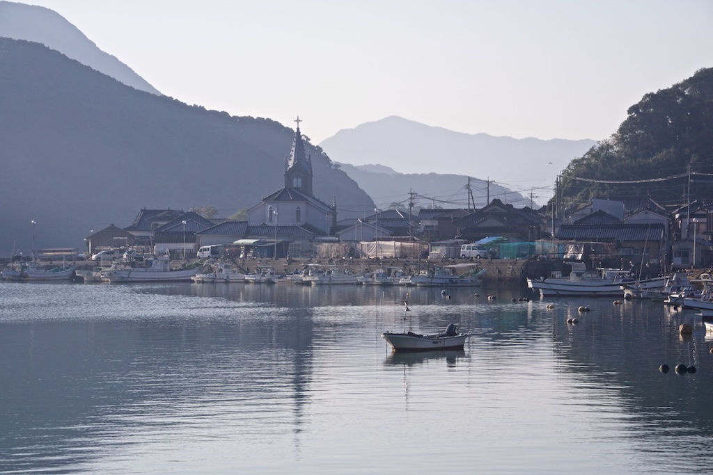
Early AM start towards Amakusa. I managed to find the church that everybody was talking about last night! Pretty quite AM in Sakitsu
Pretty quite morning in Sakitsu
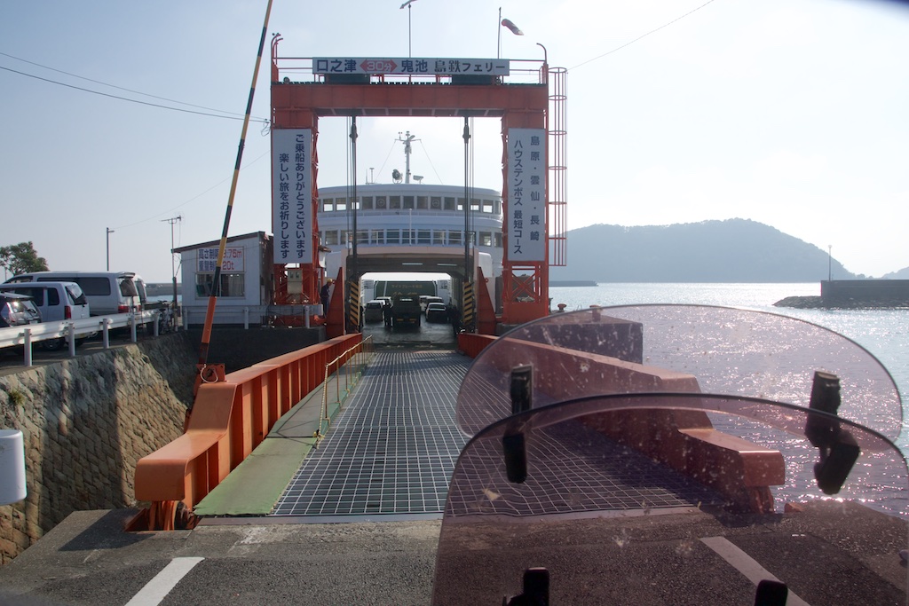
After riding a bit, I took the Ferry from Shimoshima to Kuchinotsu port in Shimabara, Nagasaki.
Once on the Nagasaki Island, I decided to circle around the Shimabara Peninsula
Japanese Popeye ? ![]()
Someones personal collection with Mount Unzendake in the background
And a Jinja
The east cost route is pretty boring, however route 57 cutting through the Unzen Amakusa National park is s quite twisty
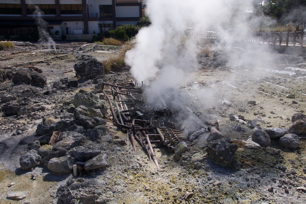
The hot springs in Unzen Jigoku. The whole place is buzzing with geo-thermal activity and you can see the pipes taking natural hot spring water to Onsen’s in the back drop.
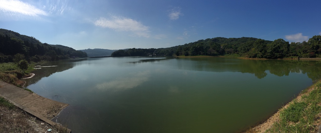
Lake Suwano Ike
Having traversed the peninsula, I then took the scenic west coast route 251 to up north. Quite beautiful sea all along, the camera doesn’t do justice to what was actually there…
It was quite a beautiful day to ride actually. Finally I took the ferry to Fukue Island. To Goto Island finally!
Bunch of school kids going back home. Wonder what it is like to commute to school via Ferry everyday!
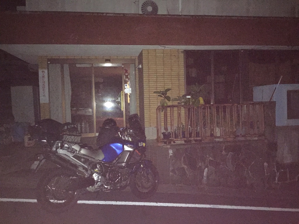
Reached Fukue Island and all was not good. The hotel that I had booked few hours back was just a few hundred meters away from the port but was in completely dark alley and looked deserted.
Went inside and called out loud but no answer. Dailed the number again and few mins later hotel staff came running and asked to come to a different hotel building, the main one. This one was in a better location. Checked in and a dinner and shower later went to bed.
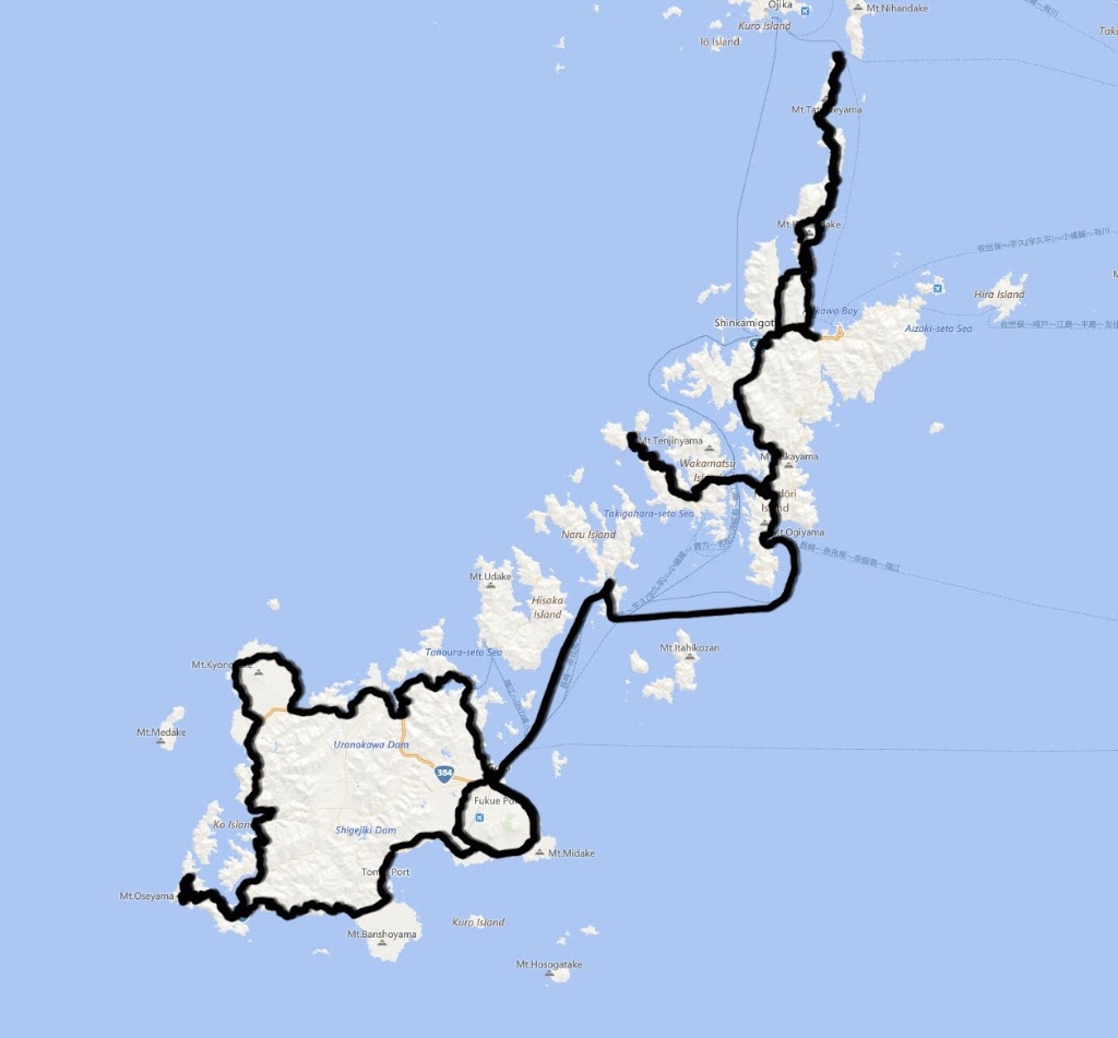
Day 5 – Fukue – Cape Osezaki – Naru – Wakamatsu – Nakadori Shima – Cape Tsuwazaki – Aokata Total distance 213 kms
Today’s plan was to hope and circle around Goto Islands. As it happens, the frequency of Ferry between these Islands is not very high and on the particular day was limited to just one as one of the ship was under maintenance. Route 384 along the coast is quite scenic and twisty. The first stop was Cape Osezaki on the western tip of the Island. Its makes for a spectacular view from the observation platform.
After this, I continued up north on route 384 through Saikai National park. Beautiful day to ride and quite nice scenery.
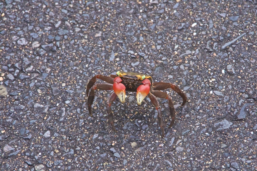
The route soon turned twistier and I picked up speed. As I was speeding through the curves, I noticed something not usual in the middle of the road and somehow managed to prevent running over it. It was this dude, quite curious at the camera lens towering over it, but refusing to move still. It brought back memory of my crushed iPhone. If only somebody else was as vigilant as me ….!
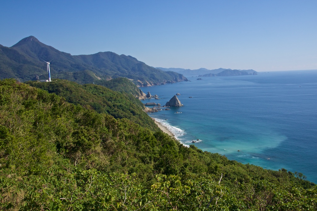
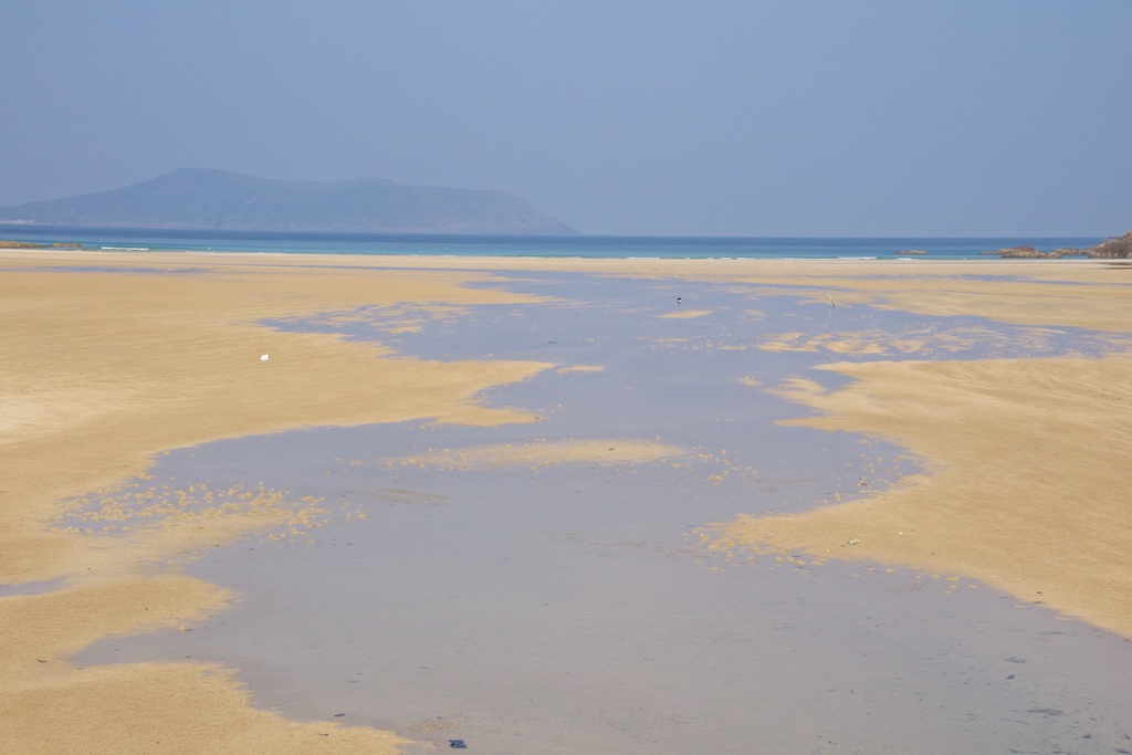
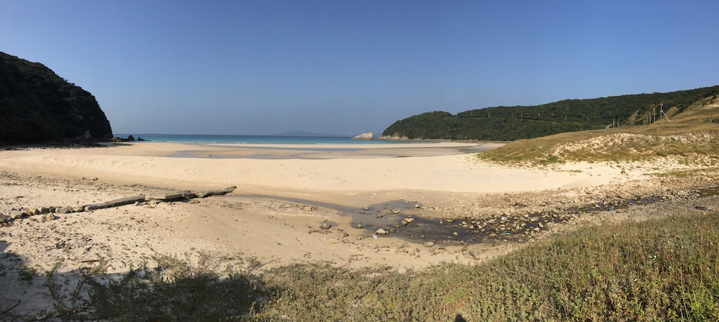
Fukui has some beautiful beaches like Tontomari and Takahama beach below.
After wrapping off Fukue, I just made in time for the Ferry that was to take me Wakamtsu via Naru Island. I didn’t stop at Naru as it looked too small to do any meaningful ride. Instead I dropped off at Wakatamstu Island. It consists of a number of small Islets connected by bridge and the views are extremely beautiful. Again, the camera does not do justice to what I saw.
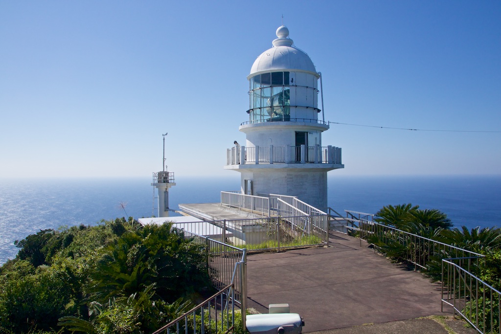
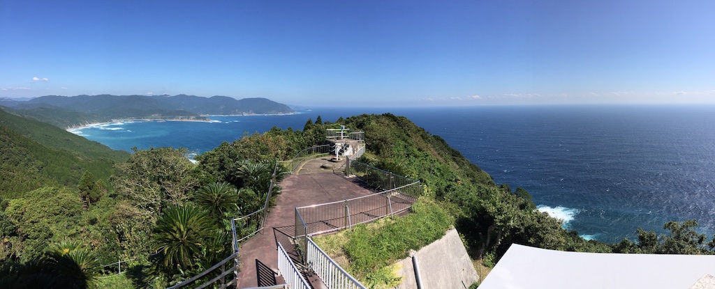
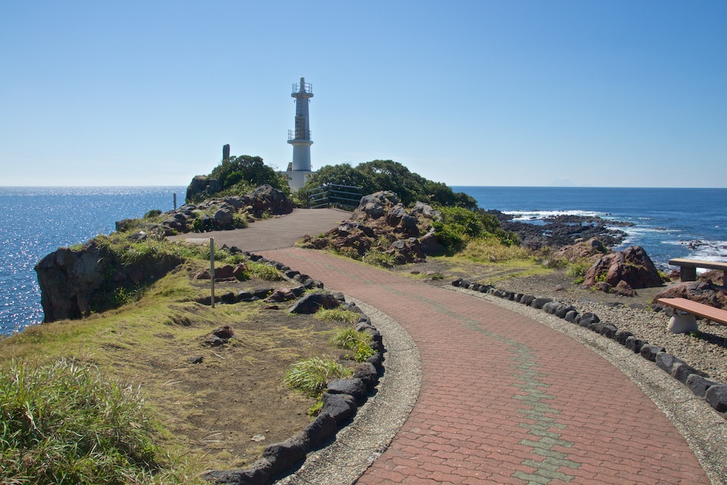
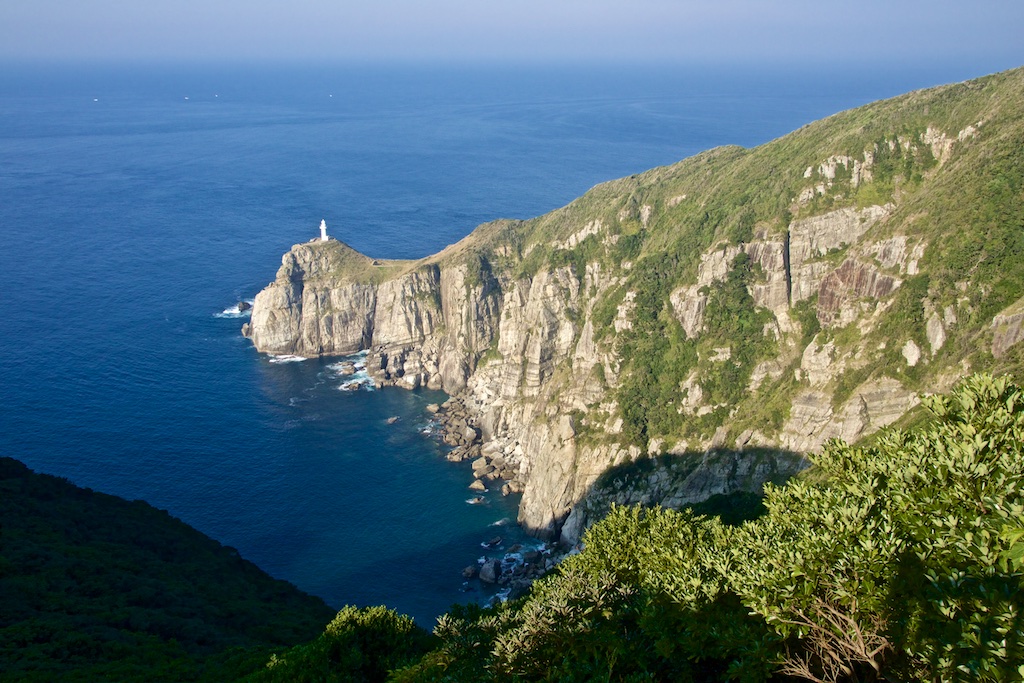
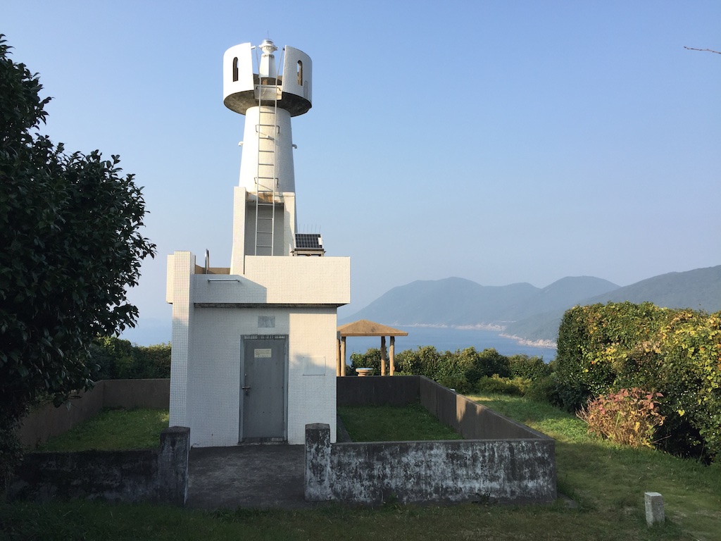
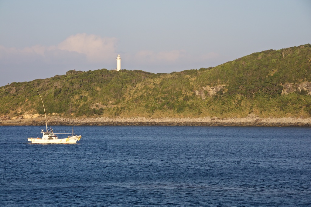
From Wakamatsu, I crossed over to Nakadorishima and headed over up north to Cape Tsuwazaki. While I could make it to the Northern tip of the Island easily, the lighthouse itself is hidden from the road and quite difficult to find, at least for foreigners as there are no clear sign boards and the small wooden direction boards had everything in Japanese.
The light house at Cape Tsuwazaki
After this I checked in to a hotel, light dinner and off to bed
Day 6 – Aokata – Tomozumi Port – Hirashima – Kakinourajima – Oshima – Tokyo – Total distance 1,182 kms
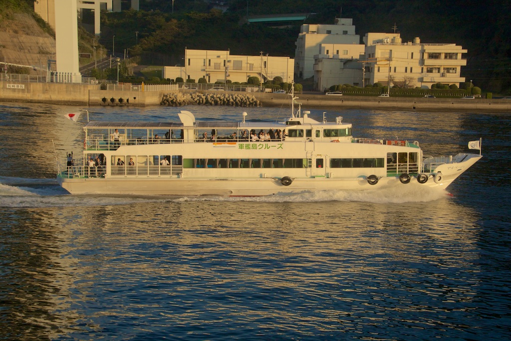
Given the only Ferry from the standard service would come only in the evening, i had decided to take a local ferry service from Tomosumi port. Arriving at the port, I almost thought my Navi as taken to me some wrong place as there was nothing there to suggest a Ferry service is being run from there. Scared that I may get stuck on the Island for while day with nothing much to day, I hurried back to town nearby. There I was told that I had gone to the right place earlier and should just go back there and wait. Sure enough, he was right. 15 mins prior to the Ferry arrival, an old woman came via car and just started selling the tickets.
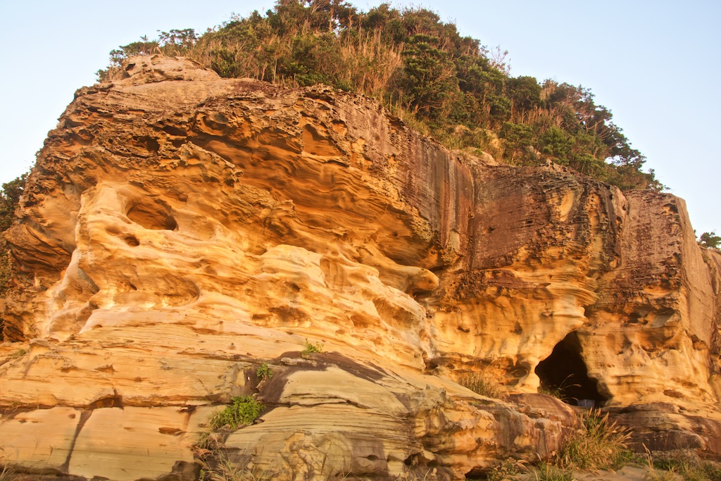
Rock face at the port in morning light
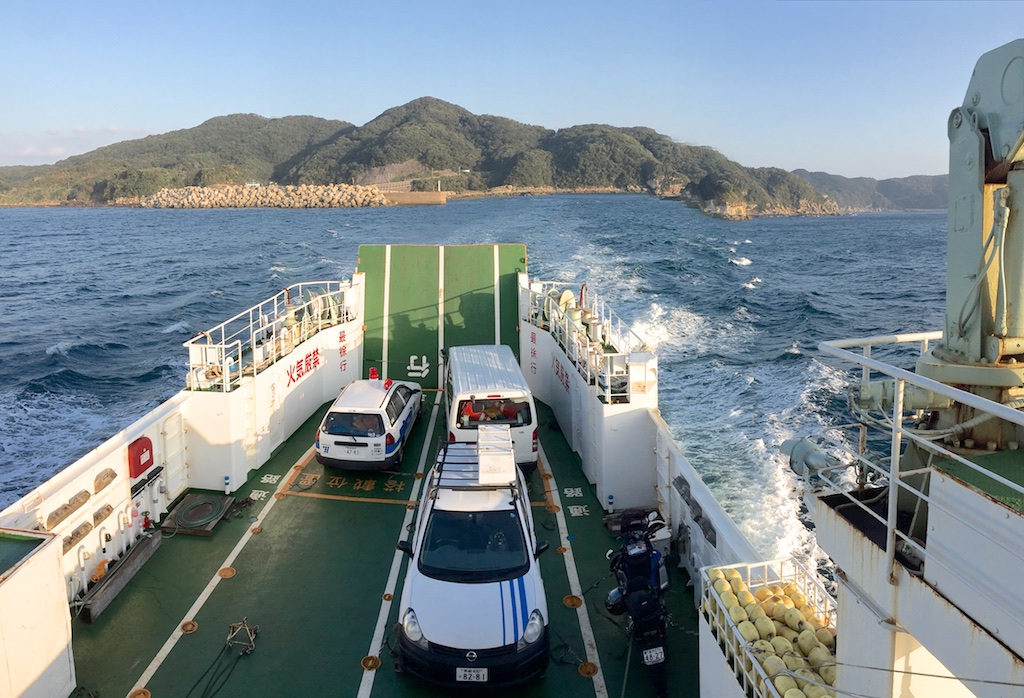
The Ferry left on time and was the smallest one I have ridden with a vehicle so far. By the time I got out, the S10 was showered by sea water multiple times.
Hirashima – i didn’t stop here.
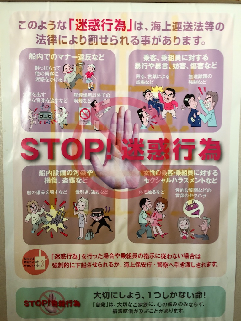
Quite interesting poster in the first class section of the ferry ![]() Guess they have seen some rowdy customers ….
Guess they have seen some rowdy customers ….
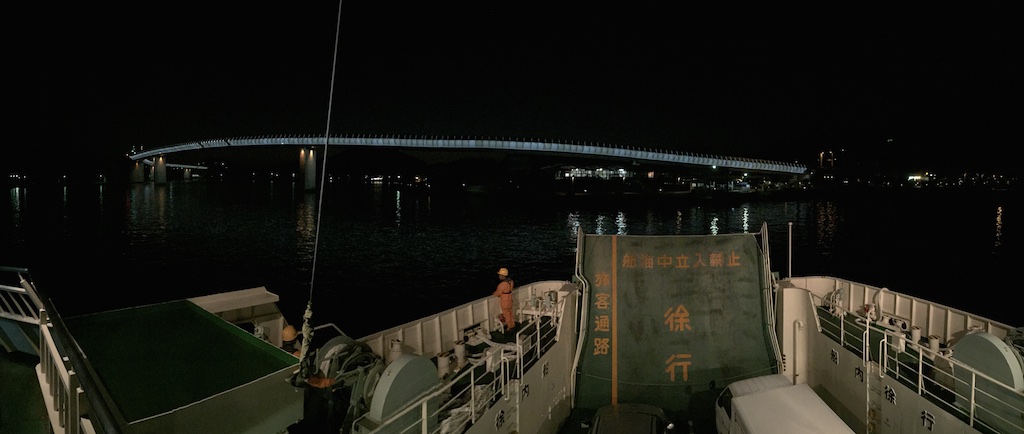
Originally I was to due to land at Sasebo port, however I realised that the small Islands of KakiKakunouranoura and Oshima were connected to Nagasaki via bridges. So I decided to get down at Kakinoura Island almost when the Ferry was ready to pull out. Ship staff was OK with this but panicked because they didn’t know how to refund me the fare from here till Sasebo ![]() Waving it off I got down.
Waving it off I got down.
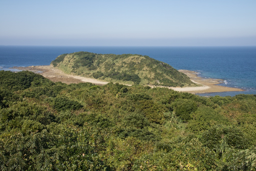
View from Kakinoura
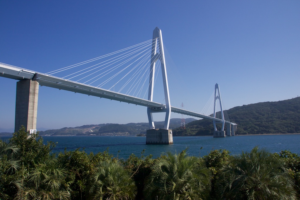
And the Nakata bridge to Oshima.
After landing at Nagasaki I decided to head towards Mount Aso San. However I had been there already, plus being away from the family for 6 days was taking its toll as well. Given Aso and surrounding visit was still fresh in my mind, I decided to head over to Tokyo. Pretty uneventful ride from there to back home in Tokyo.
GPS stats
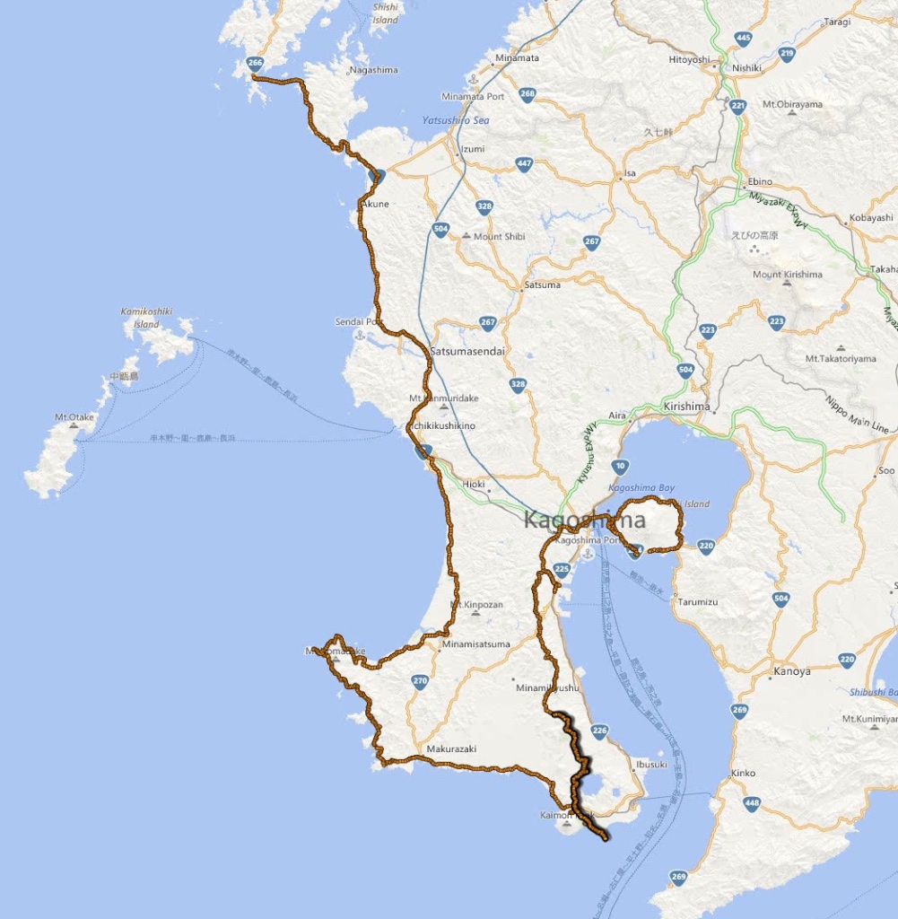
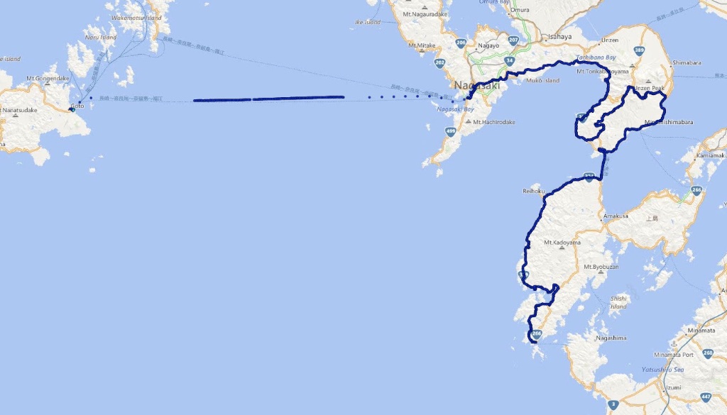
GPS track
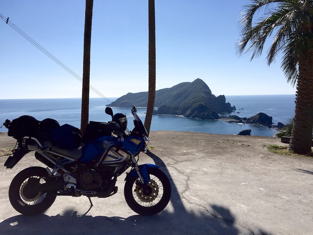
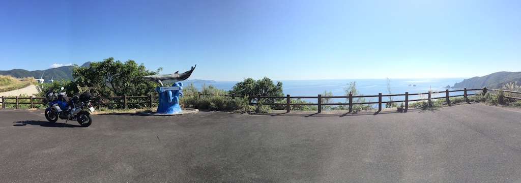
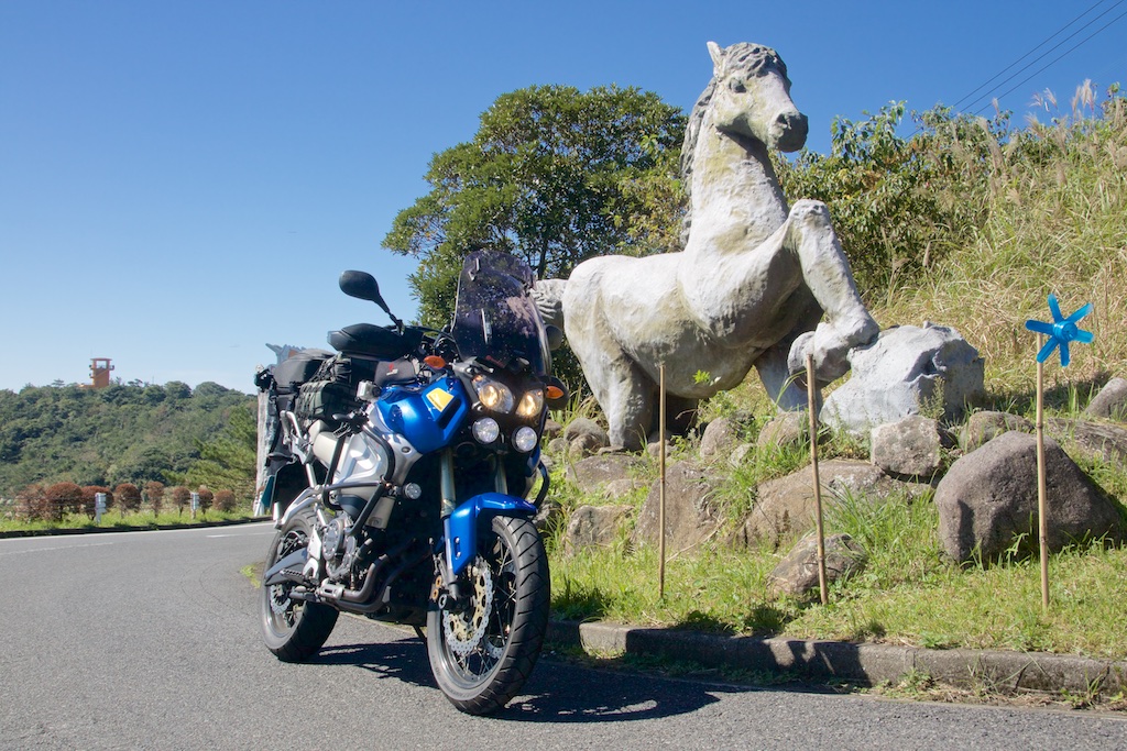
And the S10 at Ibusuki skyline! This spot hasn’t changed in years too!
