Day 1 – September 21st – Tokyo – Ishinomaki – Miyako – 791 kms
With only two days in hand, I decided to maximize available riding time in Miyagi and Iwate by covering as much highway distance as possible during the night on both sides.
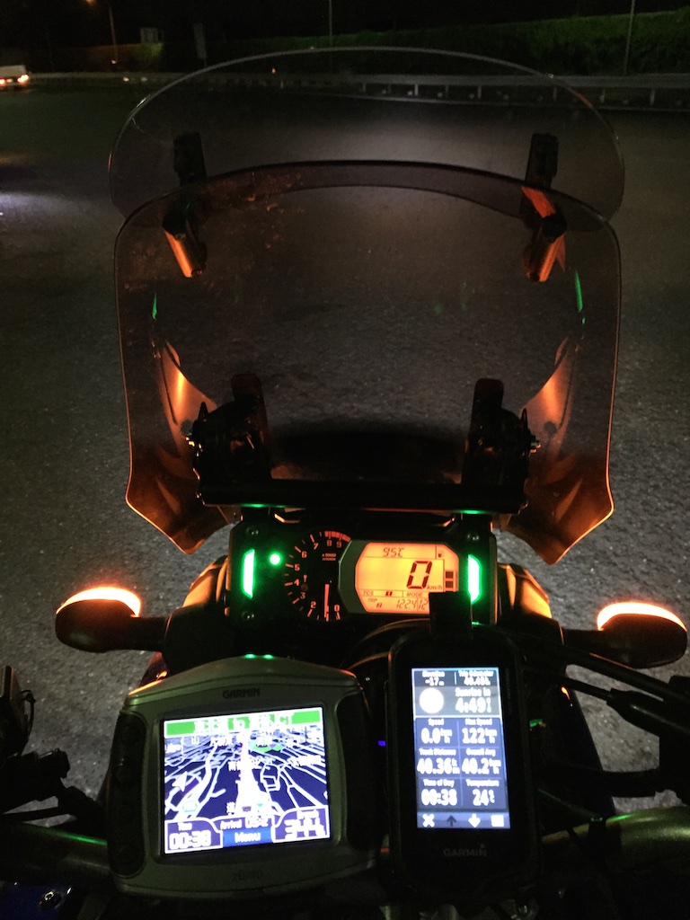
Typical early morning start
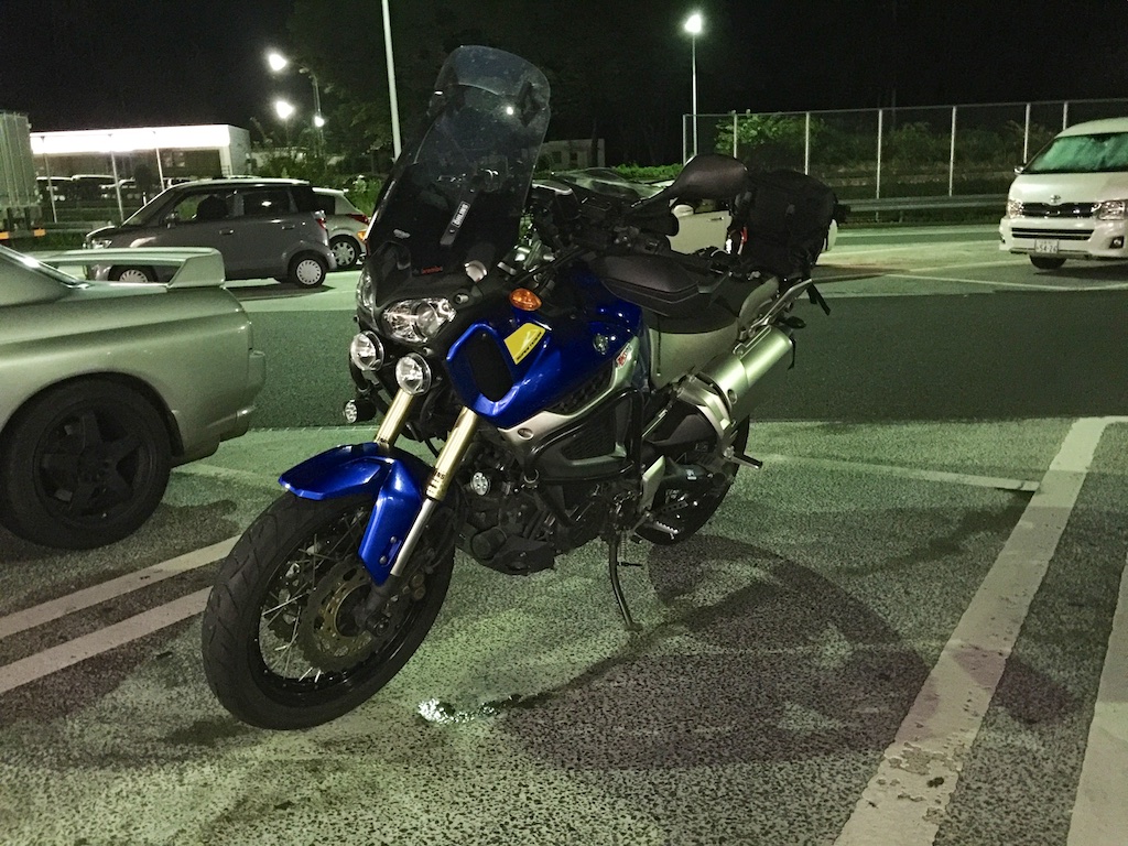
Weather was good, but the temperature dropped to about 11 degrees on the way, felt much more lower on the bike but the warm and safe heated gear kept me comfortable. The S10 at one of the rest stops.
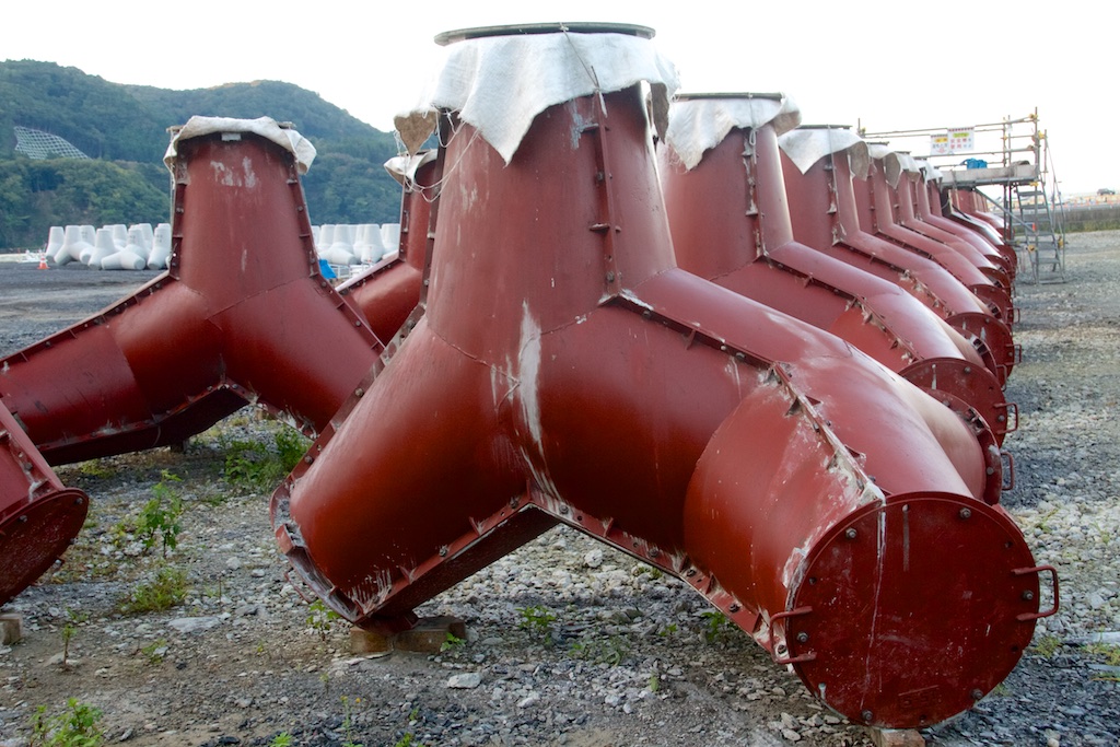
Exiting highway I tool route 2 towards Cape Kurosaki in Ishinomaki. Noticed these as soon as I got off the highway. Later on witnessed more of these along the entire east coast. Japan is definitely attempting to fortify its east coast against the ocean. Don’t think there will be any open beach left on east coast in future.
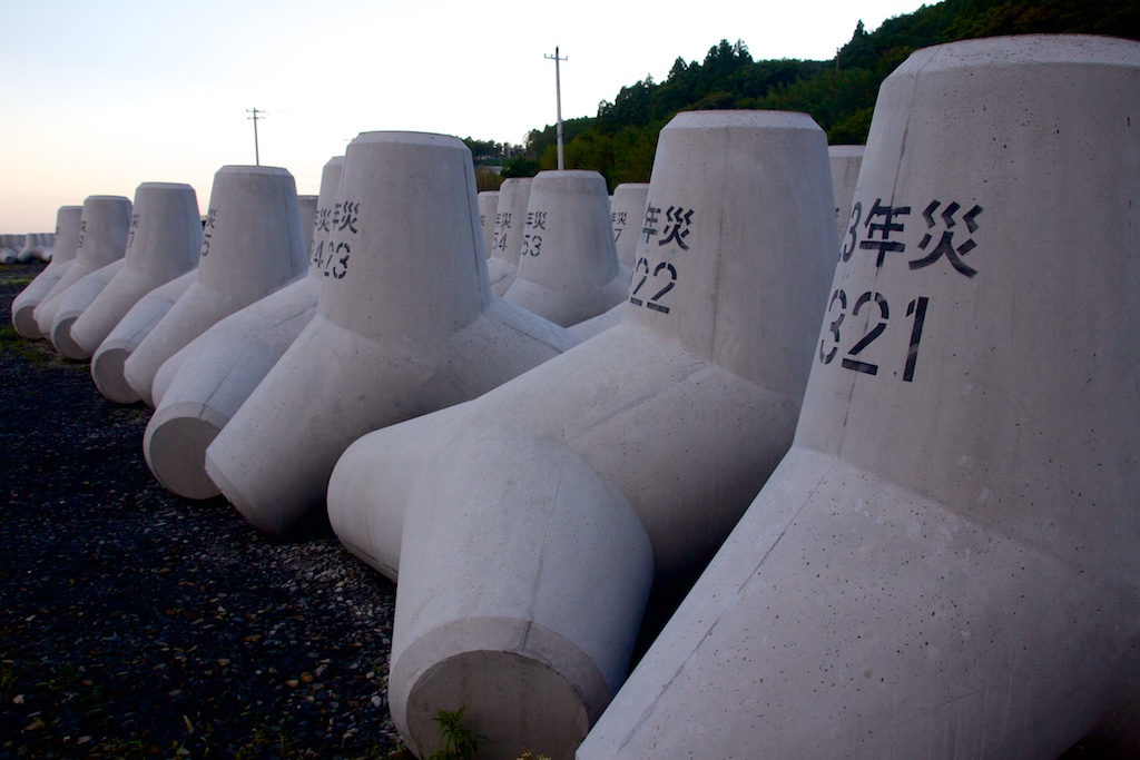
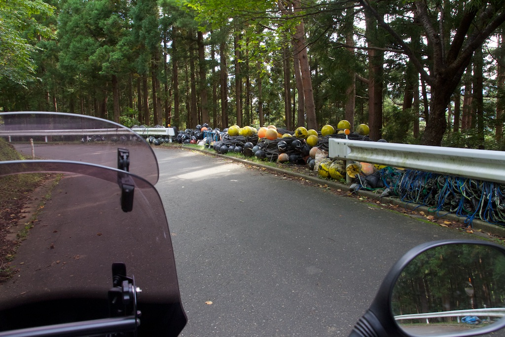
Typical Japanese efficiency, even these were numbered and stacked accordingly….
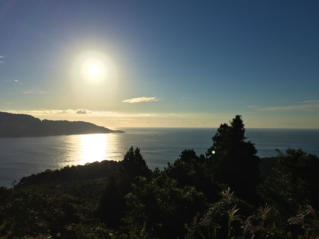
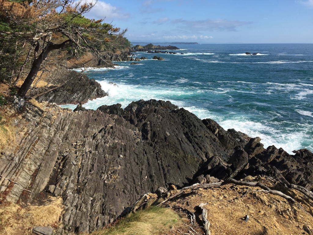
Pretty uneventful ride up to Ishinomaki and a beautiful sunrise at Cape Kurosaki
Thereafter I continued up north along the coast.
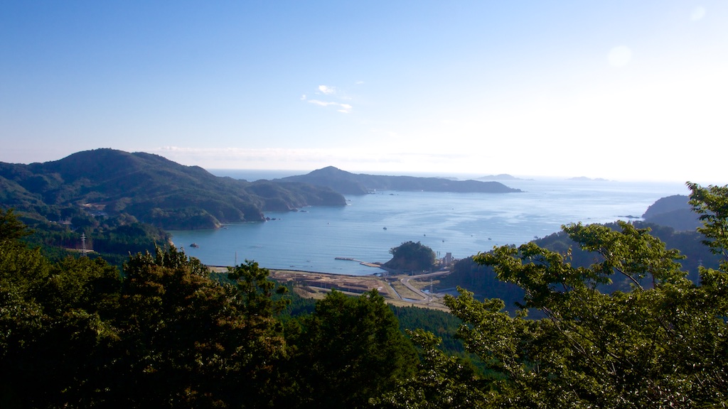
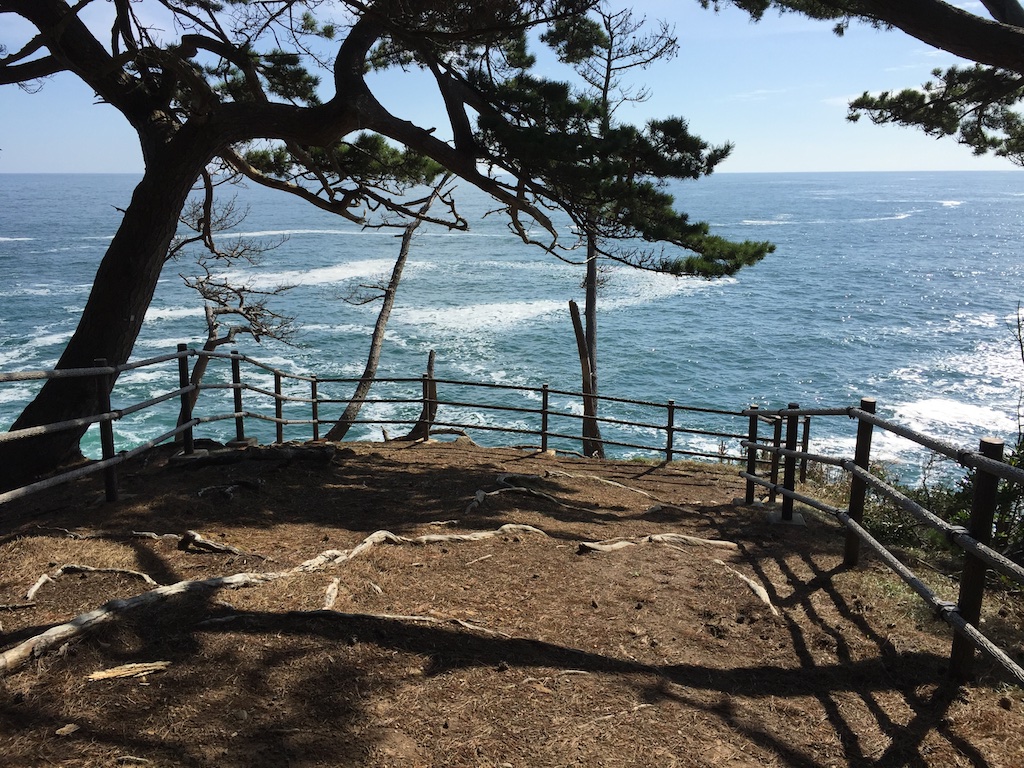
Another Cape – Kamiwarimisaki. No lighthouse etc but it had beautiful views
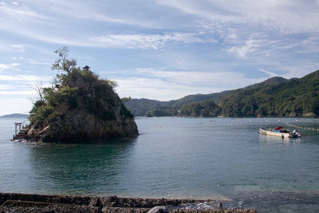
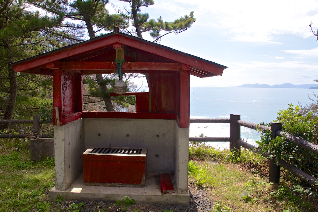
Further up north a small temple at Cape Hirotamisaki
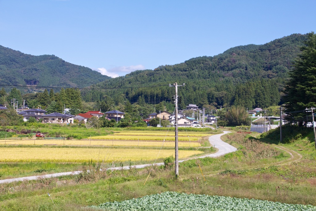
Some nice countryside along route 45
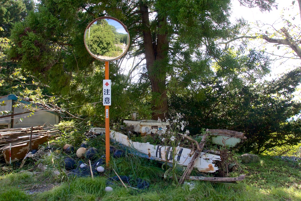
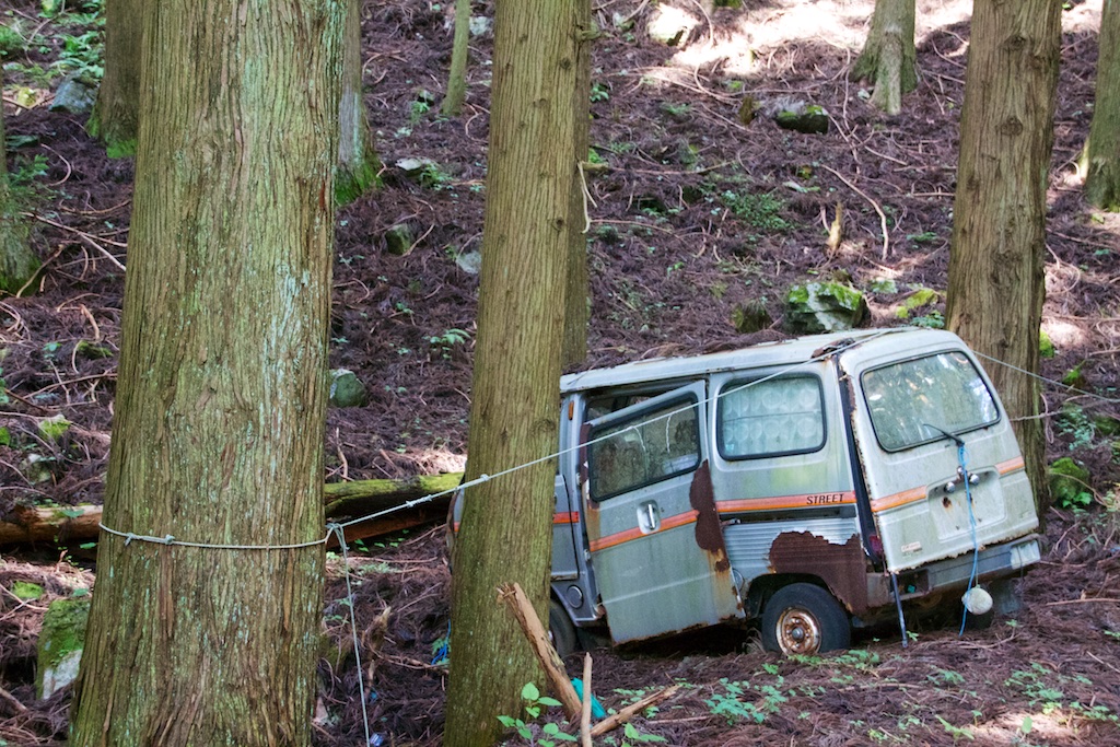
Route 250 towards Cape Shikotosuzaki turned out to be pretty lonely one and a dumping ground for many!
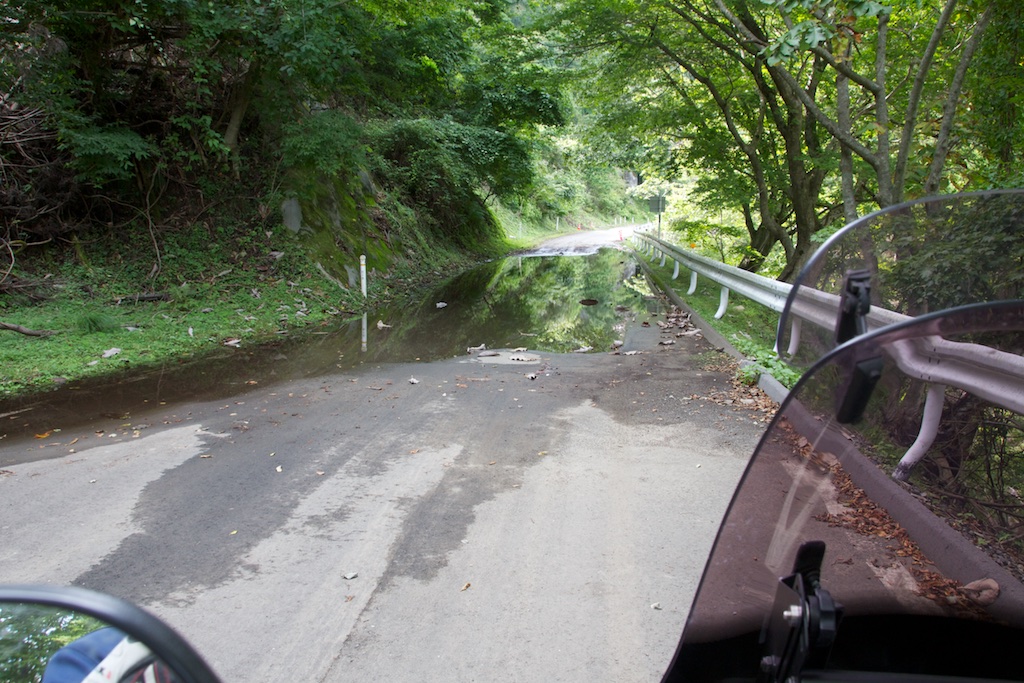
Route 250 slowed me down considerably as the road condition turned progressively worse. Lots of gravel, water streams (amazed at how much water was flowing down) and wet muddy leaves from the rain day before forced slow speeds. Route 249 around Mount Itagiyama was no different. Found a lot of these everywhere along the best coast, no idea what these were doing high on the mountains though
Eventually the road condition on 249 turned so bad that I had to turn back
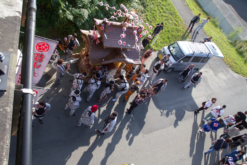
I then continued on route 45 towards Miyako. A local Matsuri in progress
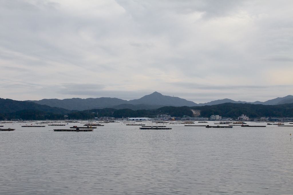
Sea view from Cape Myjinzaki route 41
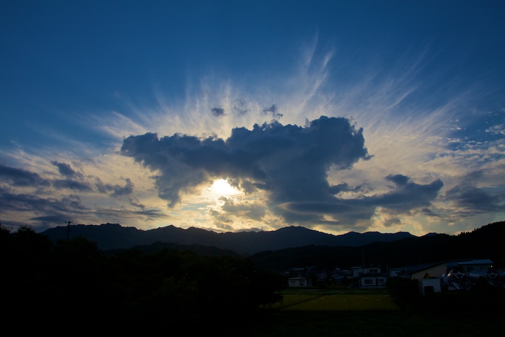
Finally a beautiful sunset in Miyako
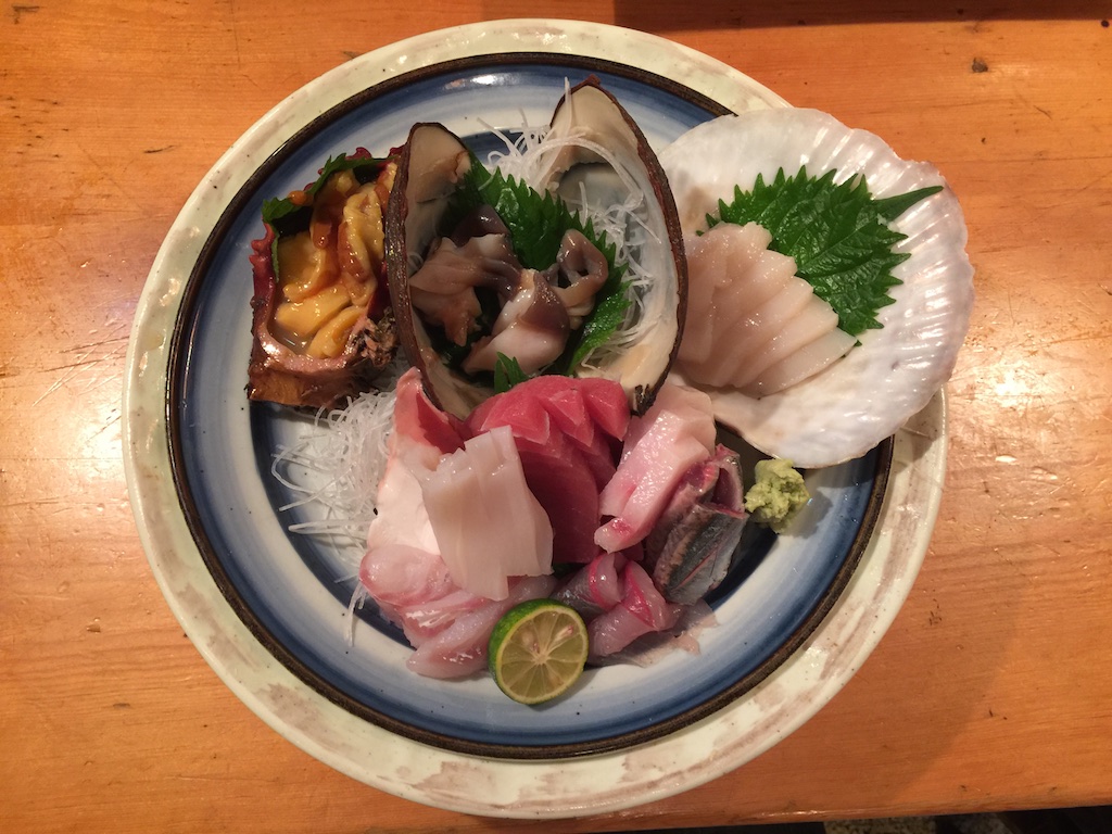
Checked in to a Ryokan. Sushi dinner and onset later, I hit the bed
Day 2 – September 22nd, Miyako – Nakano – Kazuno – Hachimantai – Semboku – Tokyo – 902 kms
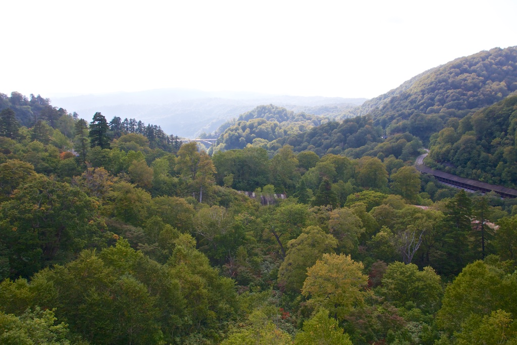
Today was going to be the day of yamamichis/mountain roads, Route 45 from Miyako to Nakano was nice, much more open and curvy compared to down south.
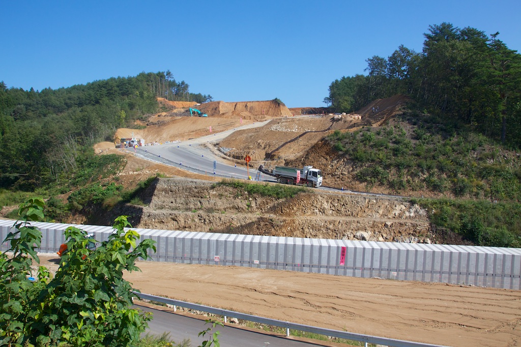
Again massive construction everywhere, whole mountains getting wiped out
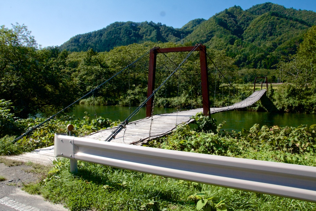
Cutting inland an old wooden bridge on route 102, still being used to access the fields on the other side of the river…
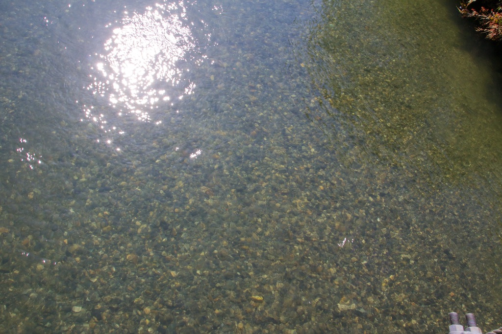
And the crystal clear river water!
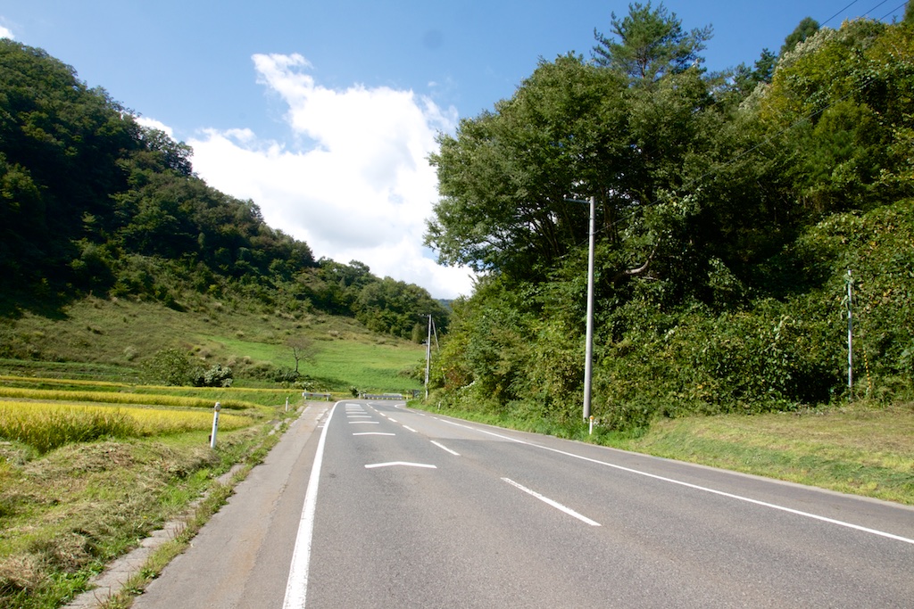
Route 455 is an absolute pleasure to ride, plus the weather was brilliant!
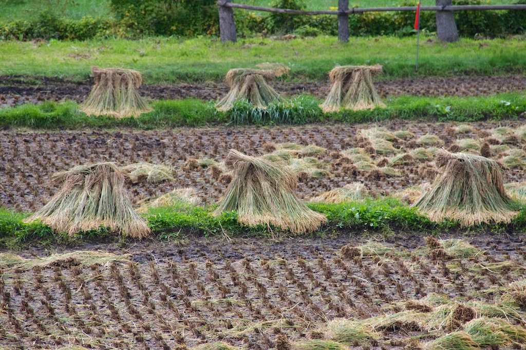
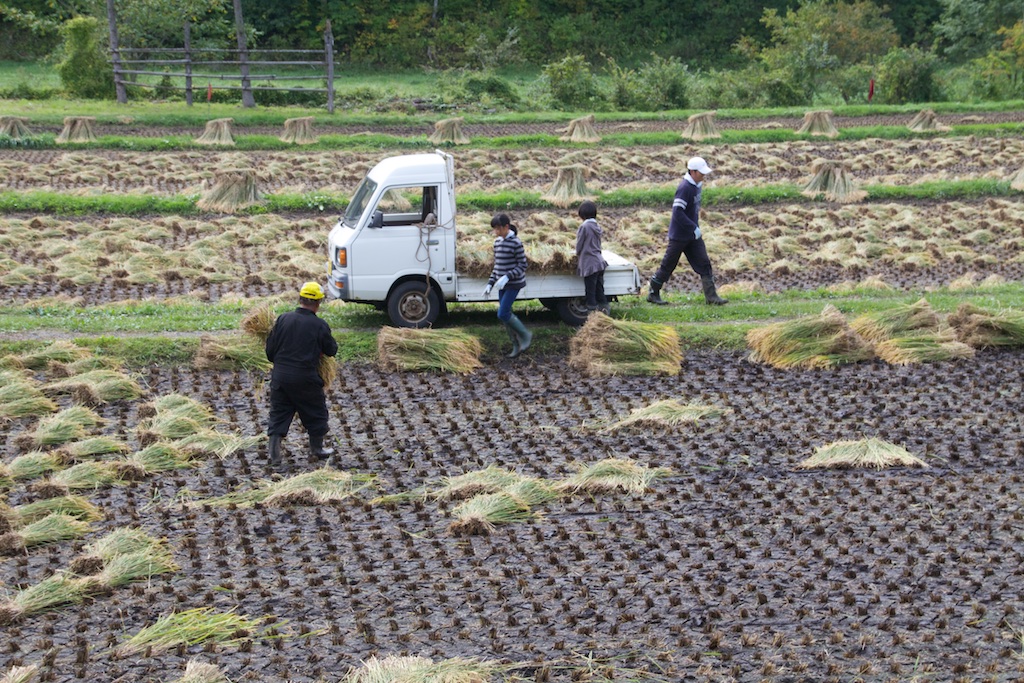
Harvest and a family at work
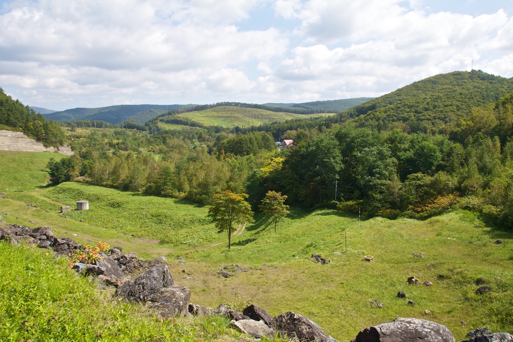
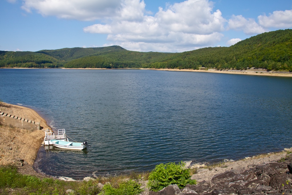
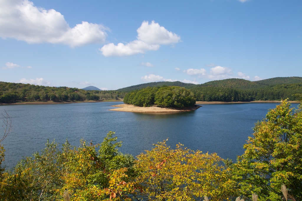
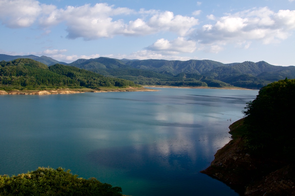
Views from Gondo dam
Lake Gondoko
From here I cut up North to head to Kazuno as i wanted to ride on route 341.
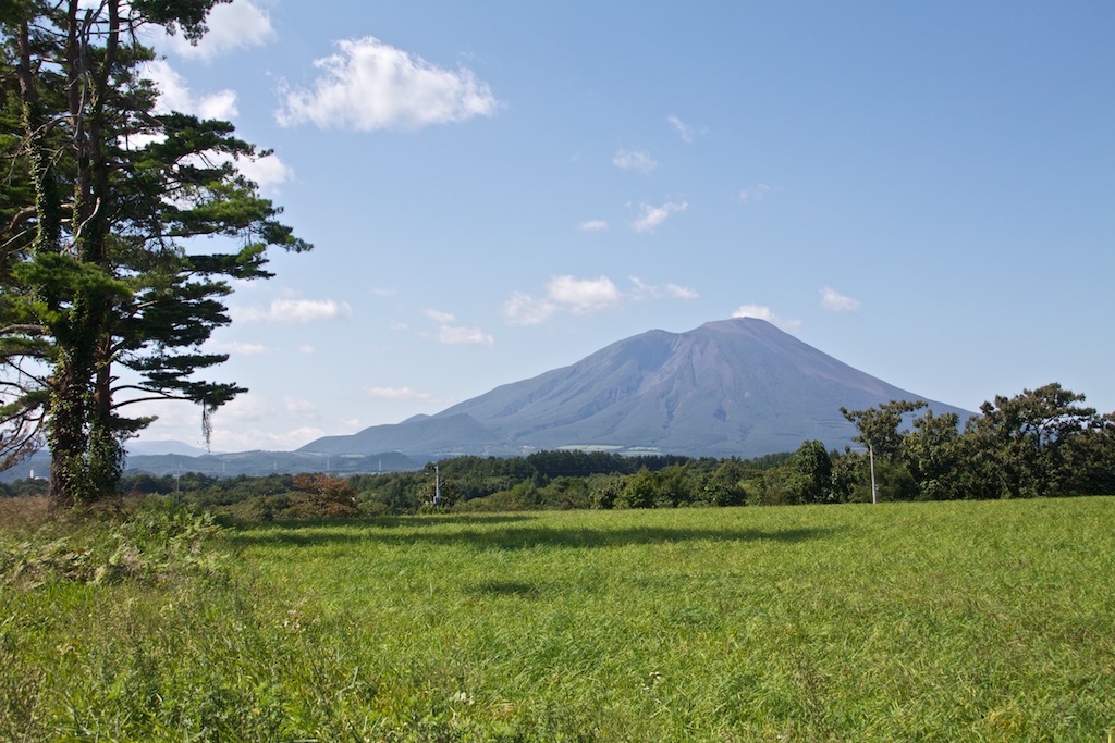
Mount Iwate from route 282
From Kazuno I took route 341 down south. It just pure pleasure to ride and I didn’t stop until I cut over to route 23 to head to Mount Hachimantai top
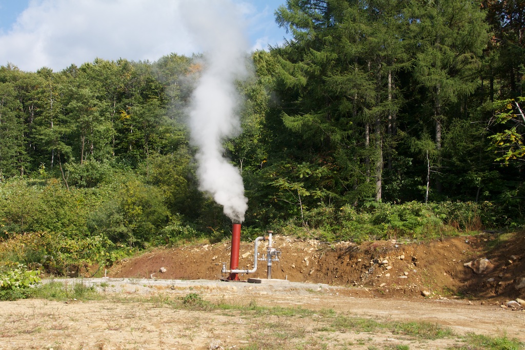
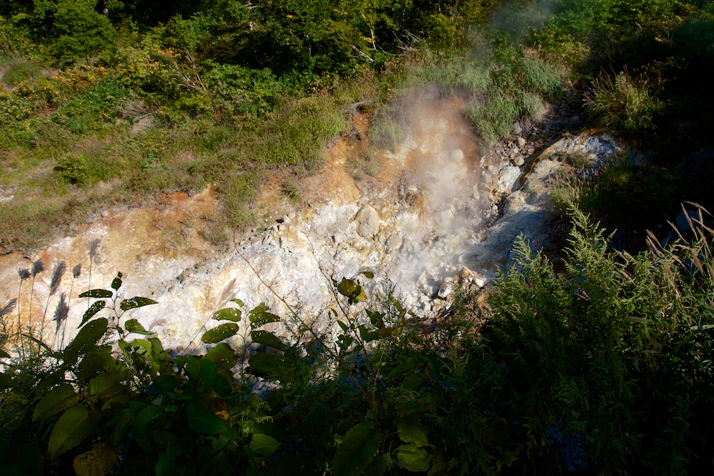
Sulpher springs
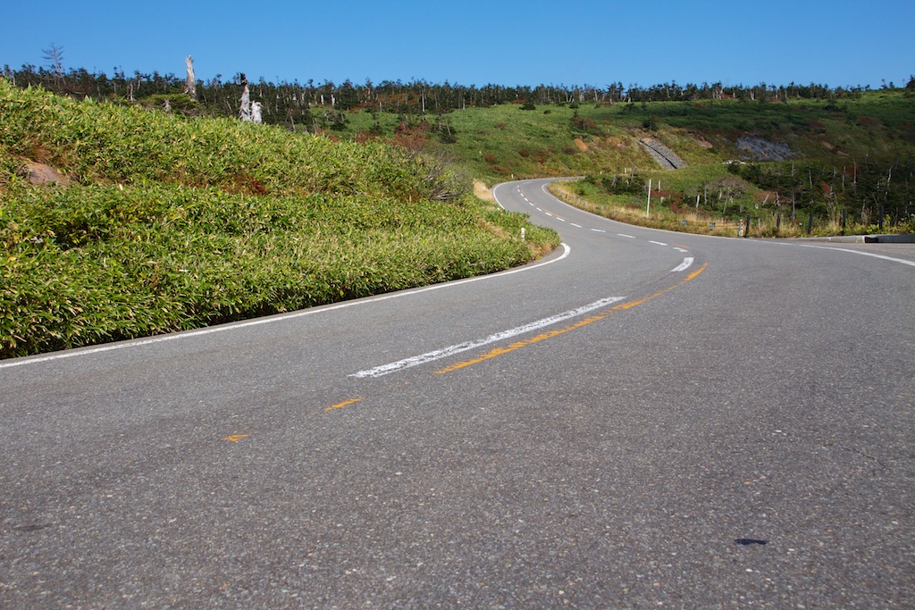
Absolutely gorgeous day and roads to ride!!
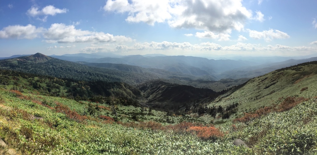
View from top of Mount Hachimantai
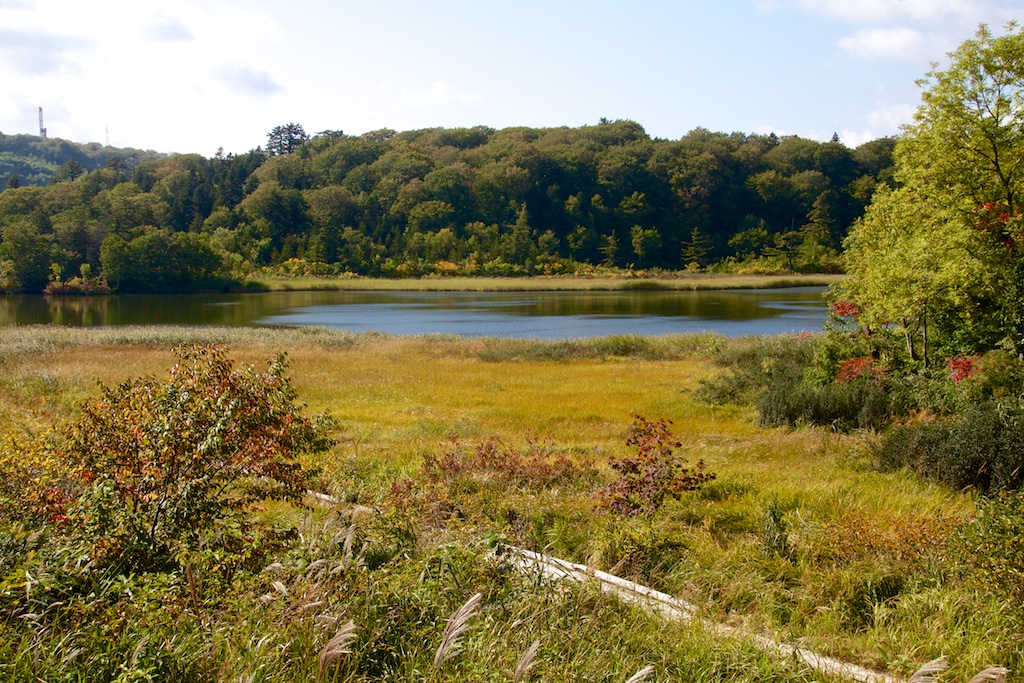
Lake Onuma, its stunning, this picture doesn’t do justice to its serene beauty!
Back on 341 I headed down south.
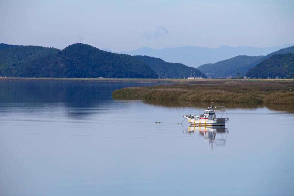
Lake Hosenko
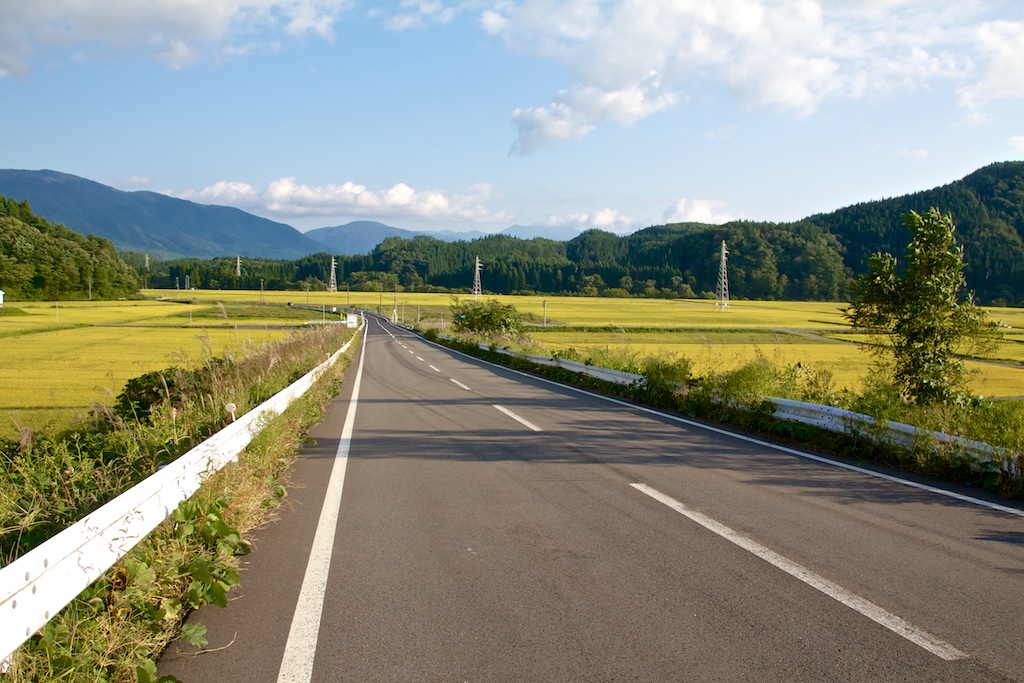
Beautiful fields, they were just glowing in approaching dusk. Again, the picture dosent do justice to the scenary
Finally it was time to hit the expressway back home.
On the way back I decided to take Joban expressway as I had never ridden on it before. Turned out to be a bit disappointing as it was just two lane for a large part.
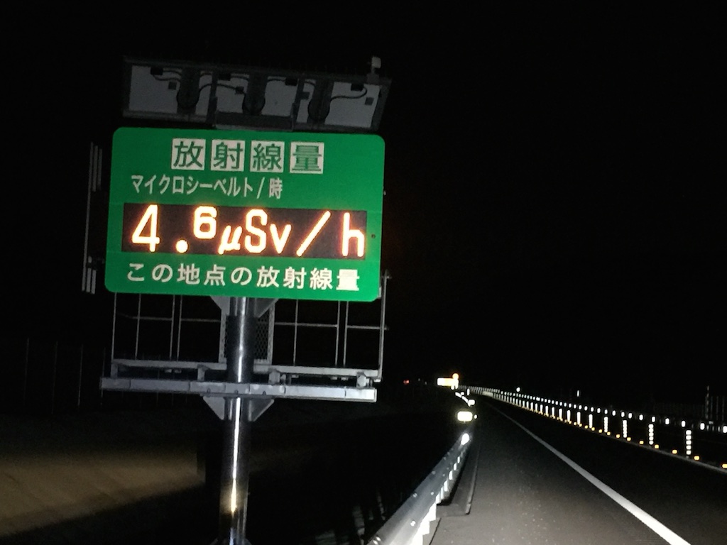
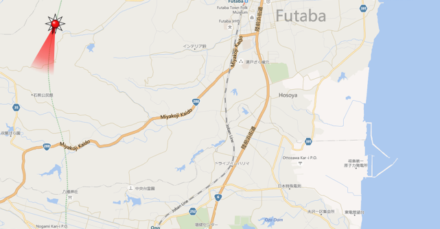
Saw radiation monitors all along Fukushima. This one was about the highest. Just by chance I had stopped to take this picture at a point where Joban expressway quite close to the infamous Fukushima Daiichi Nuclear plant. What more – given the abandoned Futaba township the area wa so dark that I could see the lighting at the plant in distance.
The red star is where I took the picture, the area with the tsunami protection on the right bottom is where the stricken Nuclear plan it.
Pretty uneventful ride to home after this.
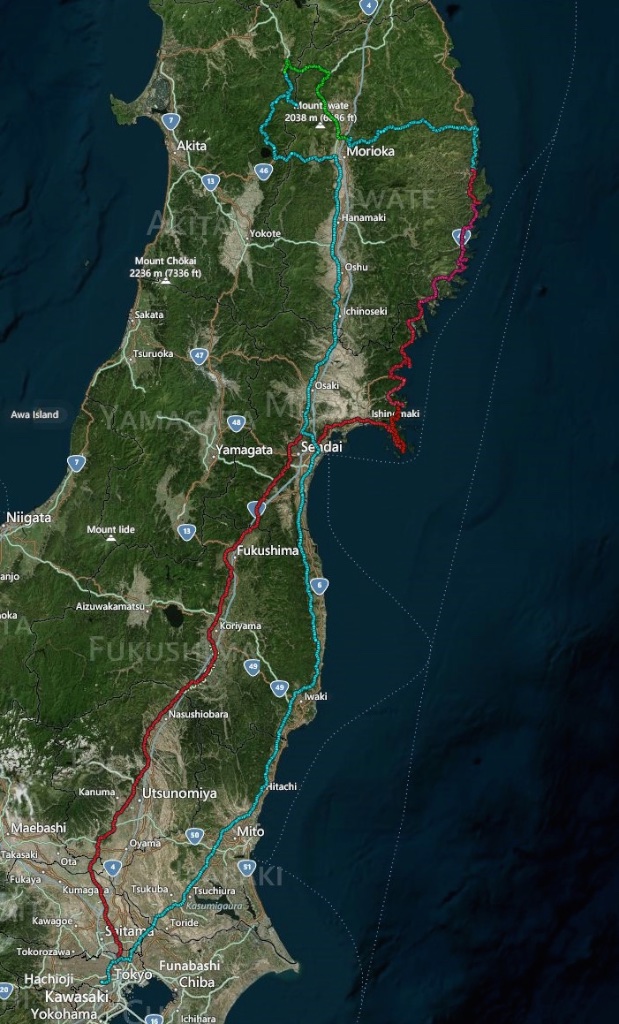
GPS track. Day 1 – Red, day 2 – Blue/Gren
Trip stats
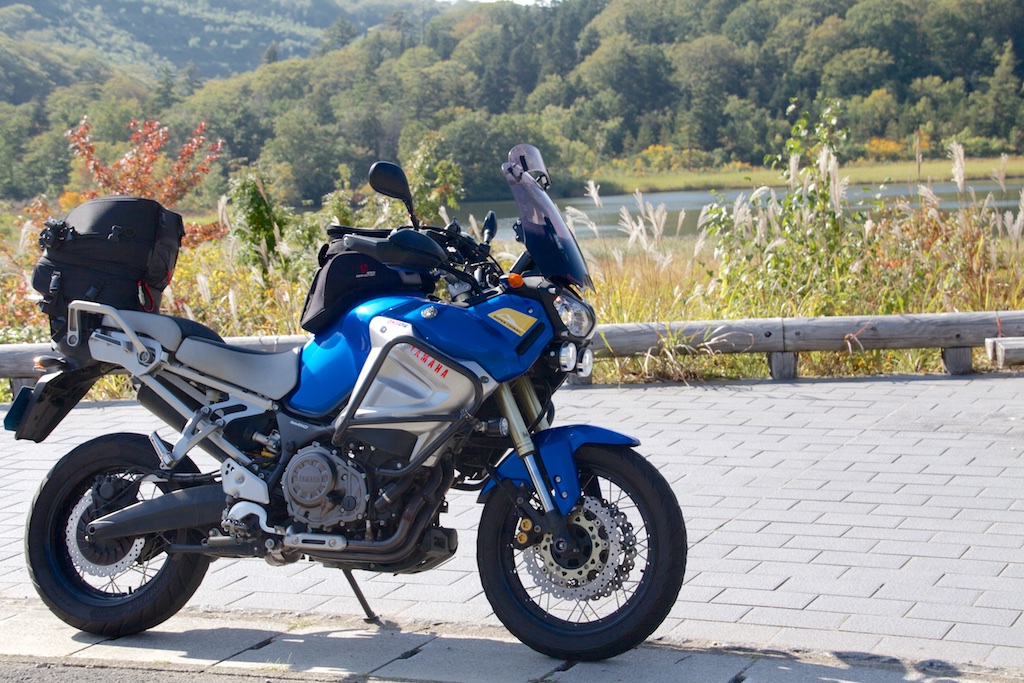
The S10 at Lake Onuma!
